We went to Mount Teide by car and hiked in the moon landscape of the volcanic national park, with kids! It was a great day out at the height of 2000 meters and a scenic drive to remember.
Beaches are what most tourists come for to Tenerife, but try to leave your resort at least for a day. Driving to Mount Teide by car is a highlight of any trip to Tenerife.
Tenerife is one of the seven Canary Islands off the African coast, next to the Tropic of Cancer and three hours by plane from Spain.
All islands have volcanic origins but Tenerife is the one where you can see it best. And that’s not all, Tenerife has the biggest volcano, Mount Teide, 3718 m.

The Roques de Garcia hike with children, Mount Teide by car
The top of Mount Teide has a huge caldera in front of it, a nature wonder created by lava flows over the course of millions of years.
In fact the stony caldera is a collapsed crater of a much higher volcano that existed here but blew up in the air. For that reason the caldera is full of fancy rocks, stretches of black lava and strange colored stones in all shades.
The huge caldera was a sacred place for the Guanches, the original people of the Canary Islands. Today it’s a sacred place for us: a national park taken on the UNESCO World Heritage list. So it’s no wonder Mount Teide is a favourite day trip destination.
We rented a car to see what Parque Nacional del Teide, Mount Teide National Park is like. You will soon see our whole Mount Teide drive, but first some words about Mount Teide itself.
Mount Teide on the Top of Tenerife

Mount Teide, 3718 m above sea level
The 3718 m high volcano El Teide centers the holiday island dividing it in two: the green north and the dry south. Teide is not only the highest peak of the Canaries but also the highest mountain in all Spain – and the third largest volcano in the world.
But that’s not the whole truth. The massive volcano continues to depths below the Atlantic water line and its total height from the ocean floor is 7500 m. Which compares to the Himalayas.

Mount Teide has some smaller volcanoes next to it
Luckily Teide is a sleeping volcano, yet it’s not the only one on the island.
Tenerife volcanoes have been silent for more than a hundred years now, the last eruption was in 1909. Until that year there was activity once in a century, sometimes more. All eruptions have formed the island in a way or another – and so will the next one that nobody knows when it comes
Despite all, the volcanic landscape around El Teide is a safe place to visit – and a fantastic place to hike.

Hiking in the moon landscape of Mount Teide National Park
Mount Teide National Park

Mount Teide National Park in the caldera of an ancient volcano
There are not many national parks in craters. The Mount Teide caldera was formed 3 million years ago when another, still higher, volcano exploded. As the caldera’s walls are 16 km apart and 500 m high, the exploding volcano was a huge one.
Whatever happened, today we can enjoy this sheltered plain at the height of 2000 m – and the strange rock formations.

Las Canadas crater, 2000 m above sea level
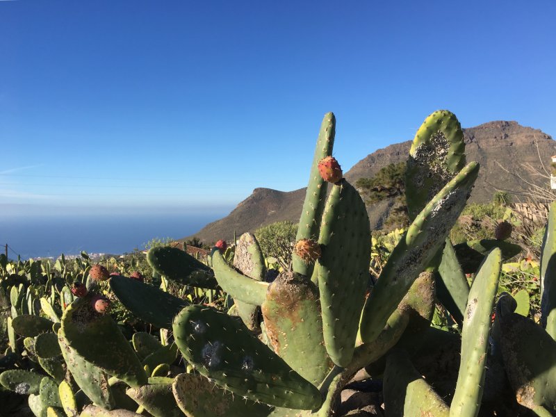
This sunny plain is isolated from the rest of the island and consequently has its own flora and fauna. The plain also has its own stones in different colors, jade green, turquoise and blue. The colors and glitter come from iron, copper and other minerals these volcanic rocks contain.

Flora of Parque Nacional del Teide

Green rock of the national park
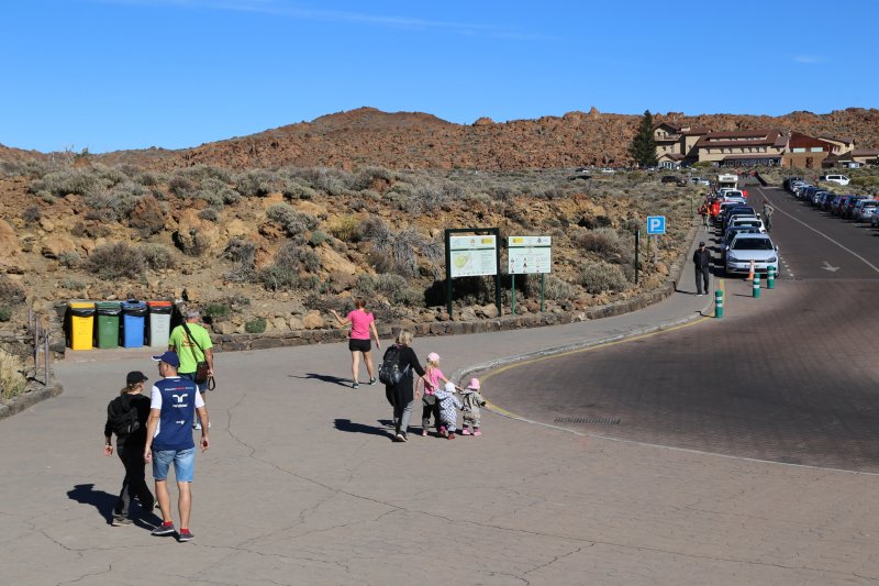
Day Trip to Mount Teide by Car
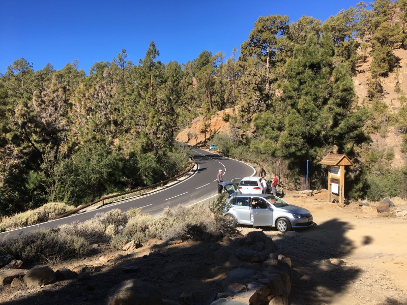
To see the magic crater, we made a day trip by car with all the family. We were four adults and four children from 1 to 7 years and, as always, needed two cars. As so many people don’t fit in one car, we many times rent two.
The trip became an adventure that our one year olds won’t remember – but the others definetely will. Fantastic nature, strange stones, mountains above clouds, moon landscape and sandy paths. And we will remember our outdoor picnic on the 3,5 km Roques de Garcia hike.

On the top of Tenerife: Mount Teide by car
We started from South Tenerife where we were staying, and this was our driving itinerary:
Mount Teide by Car: Itinerary on the Map
Day trip to Mount Teide: the driving itinerary
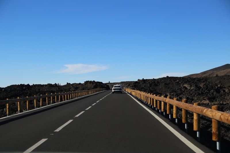
To Mount Teide there are two routes to choose between from the south coast resorts and two from the north. The drive is not long, one hour one way without stops. Mount Teide is an easy trip and doesn’t require too much sitting in the car. So even the smallest ones can do it.
In the morning we took the road up from Los Cristianos and came down to Tamaimo and Chio in the evening. The reason was that we wanted to get the morning sun on the way up, and evening sun on the way down. Driving it the other way round means more shade.
Once in Tenerife, we want the sun!
Tenerife Sur to Mount Teide by Car

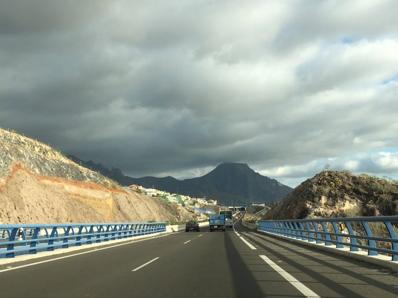
Playa de las Americas and Los Cristianos after a 15 minute drive
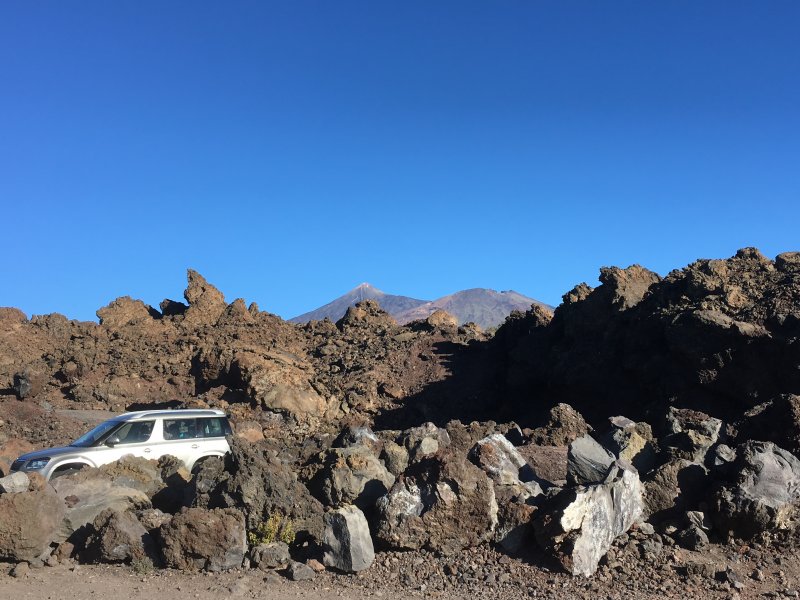
From the south, the road climbs up with steep hairpin bends. The first village Arona looks like a place we could even stay at provided there’s accommodation. Arona is close to the coast and yet original compared to the resorts lower down.
From Arona there are two alternative itineraries of which we took the smaller side road. The road was a bit scary in places, but what was positive there was no meeting traffic. The scenery was like this:
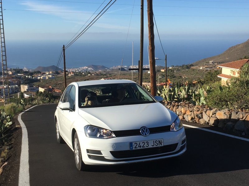
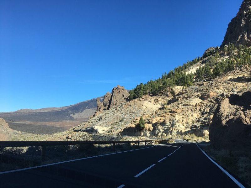
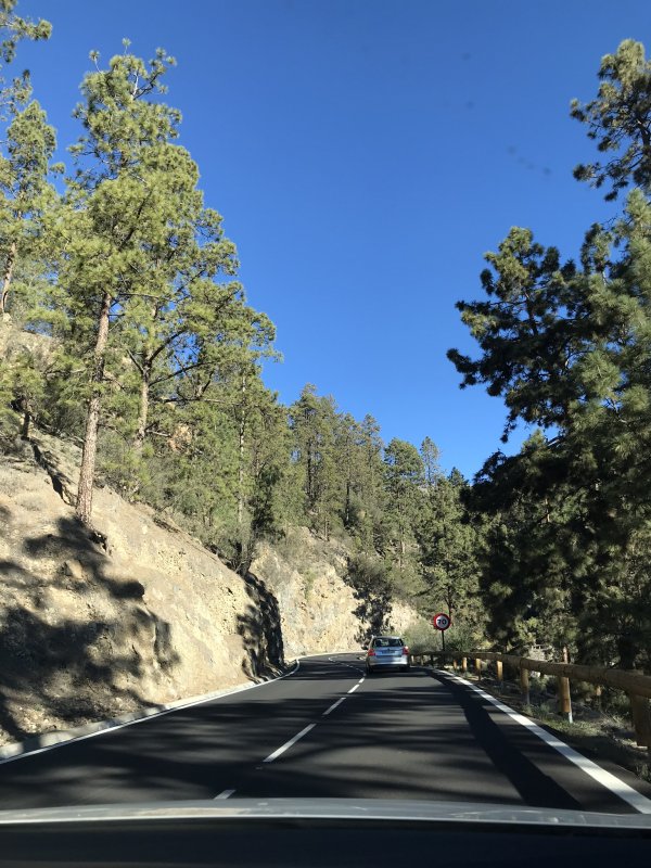
Driving to Mount Teide
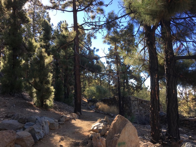
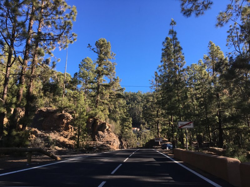
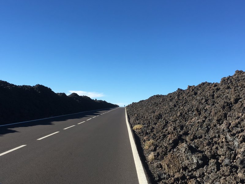
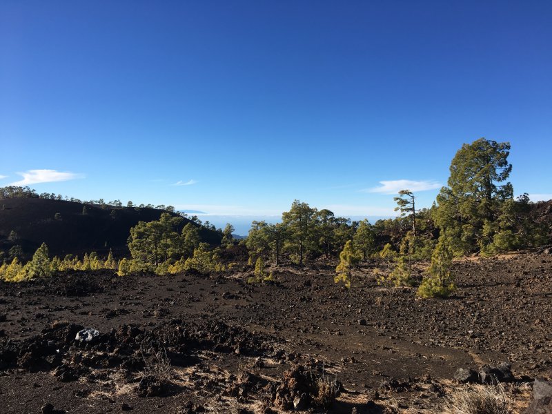
Later on there was a region with vineyards, tomato fields and almond trees in flower. In other places again all trees had dropped their leaves as they do it at winter time. Then followed pine forests and after the pines began the lava fields.
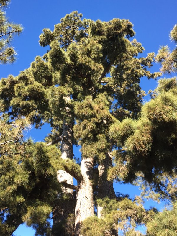
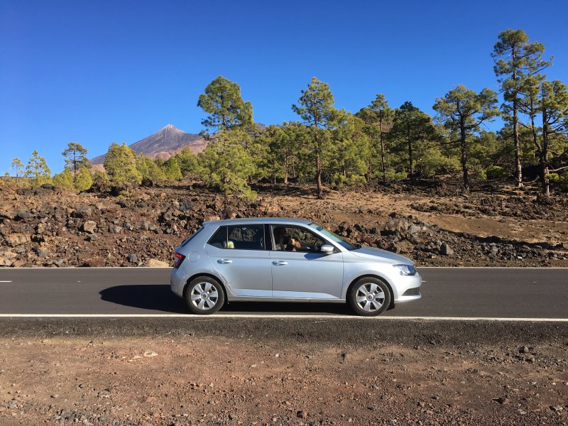
This is El Pino Gordo, a giant pine tree and a local sight. The location is a bit north of Vilaflor. Vilaflor, 1400 m, is the highest village in the Canaries. But we went on and climbed.

El Pino Gordo of Tenerife
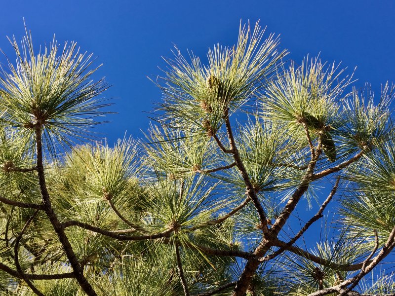
The huge pine trees in this area are called Canary Island pines – and they have some giant cones! As soon the kids saw how big the cones were they wanted to pick them from the roadside. So big compared to what we have back home!
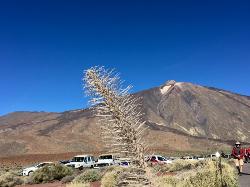
Parque Nacional del Teide

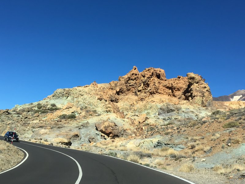
Driving in the moon landscape of Mount Teide
So we entered the moon landscape through Boca de Tauce. As there’s only one road through the caldera, it’s not hard to choose where to drive. And along the only road are all the hiking trails that criss-cross the volcanic valley.
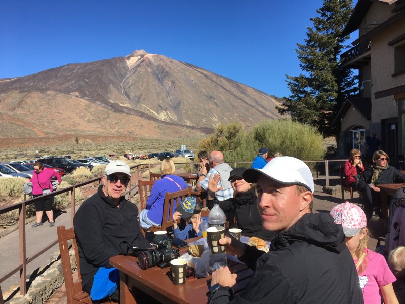
The meeting point is in the center of the valley, the hotel, restaurant and tourist information point Parador las Canadas del Teide. It’s the only hotel in the national park, state owned and used by hikers.
If you want to book, do it well in advance. Here you can book your Mount Teide accommodation: Paradores de Turismo.
In addition to the Parador there’s another visitor center on the north side of the park where you enter from Puerto de la Cruz.
Visiting Mount Teide by car
The plateau of the caldera is at 2000 m and Mount Teide rises beyond it. To get to the top of El Teide there is a marked route, a demanding one that takes hours.
Alternatively you can pay and take the Mount Teide cable car. It takes you almost to the top, from 2300 to 3500 m but there’s always a long queue. To skip the queues you should pre-book your ride, here: Volcano Teide website.
But the cable car was not our thing, we are hikers and teaching even the small ones to hike.

Hiking in Mount Teide National Park
What are Mount Teide hikes like then? There are many of them , all of them different, you just have to know.
Mount Teide National Park has 21 walks, the shortest of them 600 m and the longest 17 km. All of them are self-guided and well marked on the park map.
Mount Teide National Park Hiking Map
This is the official Mount Teide hiking map where the trails are numbered and marked with red. all scenic lookouts again are marked with binoculars.

Map of Mount Teide National Park (Source: Gobierno de Canarias Parques Nacionales)
Click here to open the map in a bigger size
The hiking routes marked on the map are explained on the Gobierno de Canarias Parques Nacionales website: Gobierno de Canarias, Teide Hiking Routes.
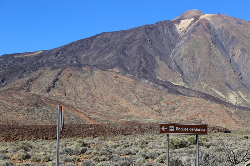
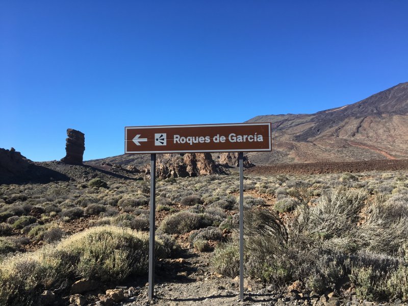
So we had to choose a hike. As climbing to the top of Mount Teide definitely is no family hike, we took one of the short ones, choosing the one we believed was the prettiest, the Roques de Garcia.
Roques de Garcia Hike

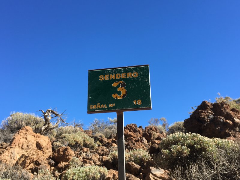
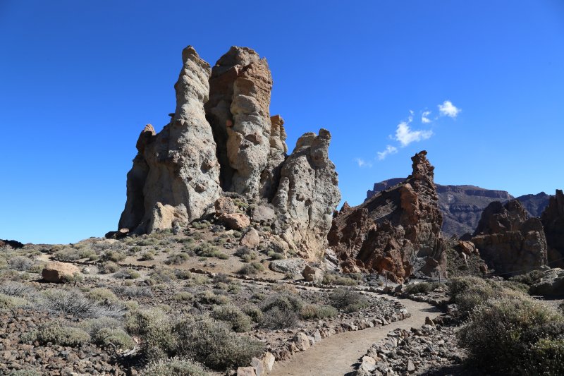
View from Sendero 3, Roques de Garcia
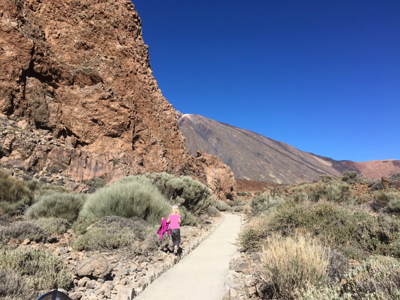
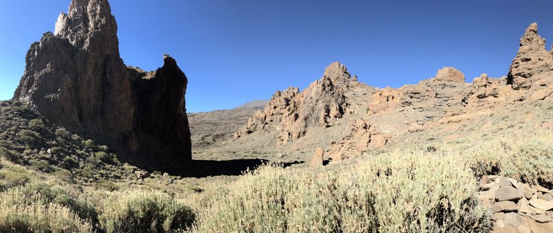
Roques de Garcia is hike number 3 and starts from the Visitors Centre El Portillo. The 3,5 km loop track goes around the exceptional row of sharp rocks that are visible from all over the valley.
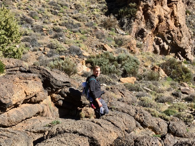
The beginning of the track is easy, flat and accessible, but north of the rocks is a climb where you will need better shoes than just flip flops. Turning back south, the track is just big stones all the way down to the plain Llano de Ucanca, from where there’s a steep climb to where the track ends.
Here is our Roques de Garcia hike on the map:

Roques de Garcia hike on the map: hike around a row of volcanic rocks
And here the hike more in detail:
Walking North: Flat, Accessible Path

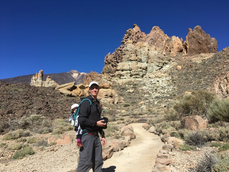
Mount Teide by Car: Starting our family hike
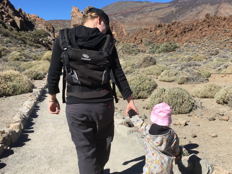
As advised, we walked counter clockwise so the strange rocks were on the left hand side at all times. Here we are starting the walk, in warm sweaters as the air at a high altitude is cool.
As at 2000 m the even sun is strong, we were prepared with caps, sunglasses and a lot of sunscreen on our tiny faces.
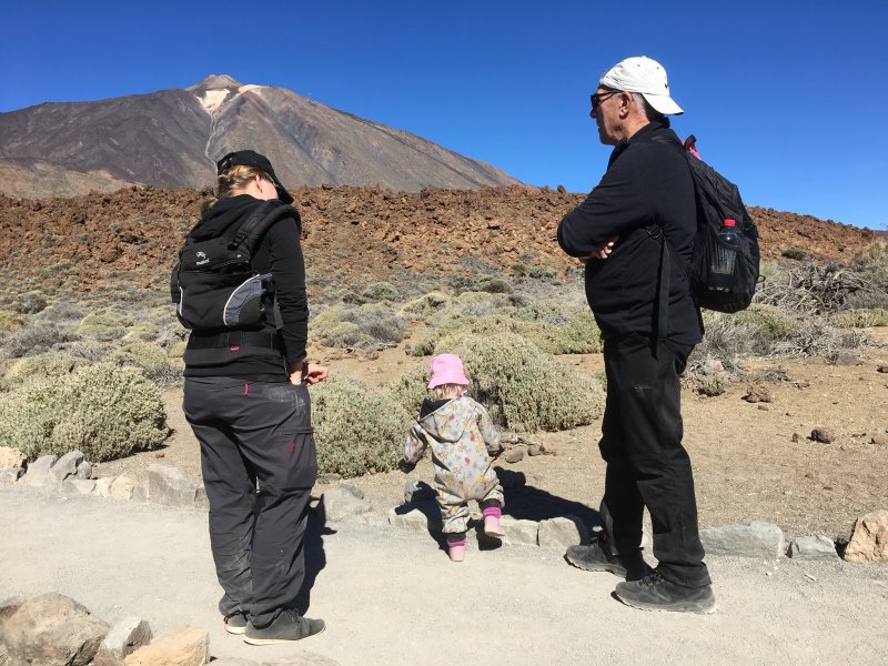
Hiking Teide National Park with children
As the first half of the walk is accessible, you can do this part even with a baby stroller.
The kids were excited about it all and found many things they liked on the ground, stones and such.

Our one-year-old picking up lava stones
2. Picnic Break

Mount Teide hike at its best: family picnic in the outdoors
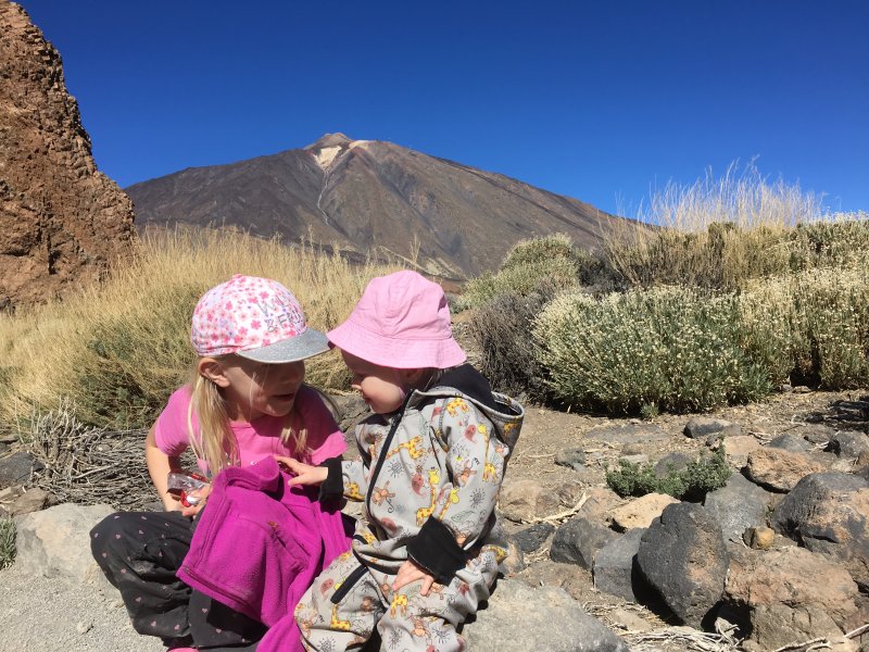
After 1,5 km the trail went up a little bit, and of course all children were super hungry after the little climb. No question about it, it was picnic time, out in the cold air but sitting on super warm lava stones.
Roques de Garcia rock formations
We enjoyed the Alpine sun and extra clear skies. As Mount Teide National Park is long ways above the clouds, there mostly are clear skies. Clouds mostly gather at the heights between 500 and 1500 m.
The clear skies make Mount Teide National Park a perfect stargazing destination at night. Sun at the daytime and starry nights.
Now, believe it or not, Mount Teide National Park draws 3,5 million visitors a year. These numbers make it the most visited national park in all Europe.
We, however, didn’t see a track of those visitors, being almost the only ones in the park and on the trails. Maybe all tourists come at the same time, by buses.
We were visiting just after the Dia de los Reyes that ends the Christmas season. So maybe all tourists had gone back home already.
Even the smallest ones walked the first part, but after the picnic they needed a nap and for that reason spent the rest of the walk in rucksacks.
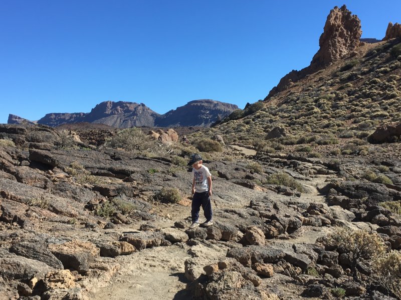
3. Llano de Ucanca

Hiking between volcanic rocks of Teide
It was a perfect timing for a nap. When we walked on it very soon was clear to us that the track simply was not for them. Carrying the small ones from the picnic place on was the best timing ever.
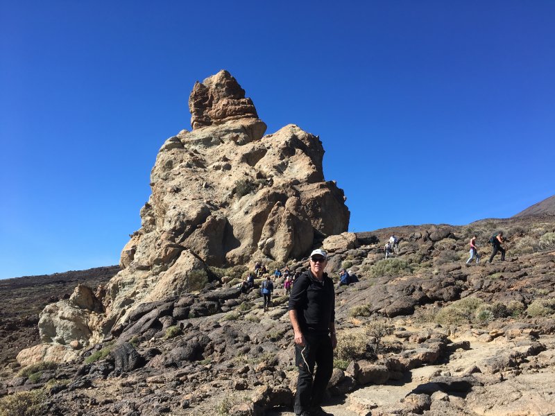
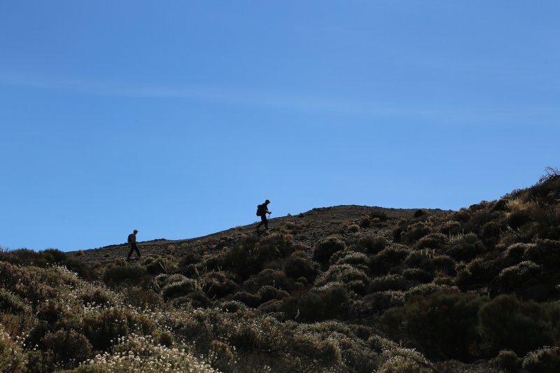
However, with the two bigger kids it was different, they just loved the rocky trail and skipped from stone to stone like small antelopes, leaving the others far behind.
Look at these rocks back down on the plain! Fantastic! No wonder the rocks of Garcia are among the most photographed in the national park.
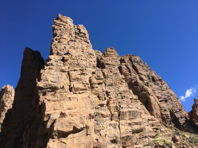
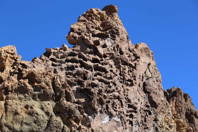
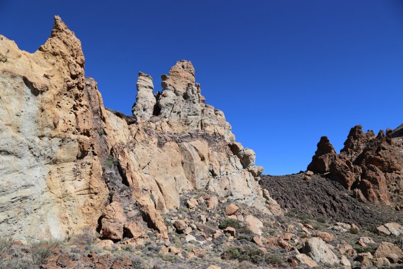
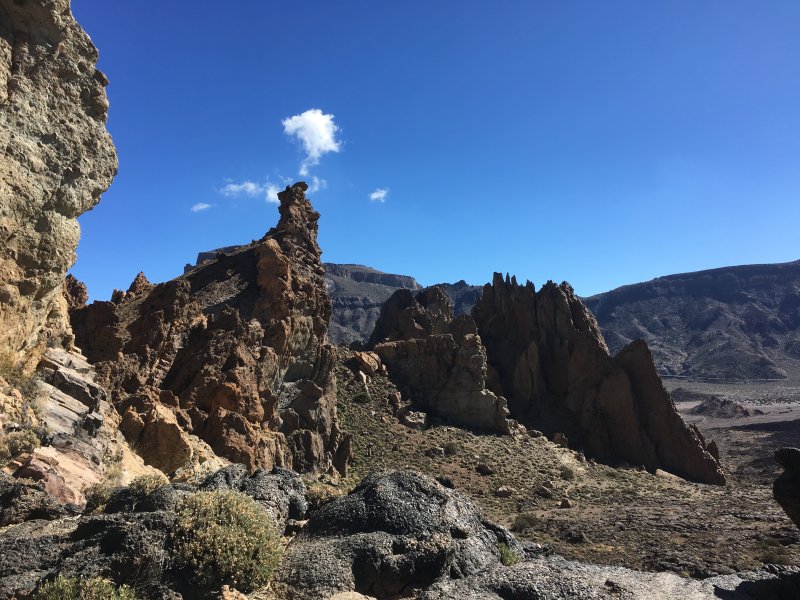
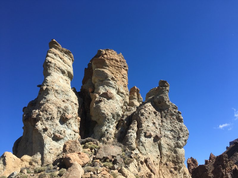
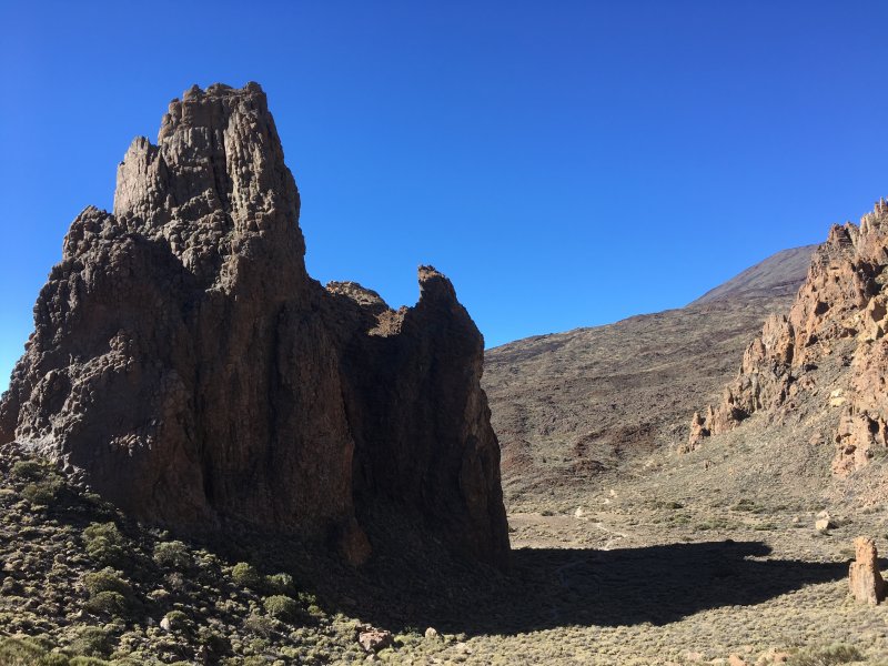
The Roques de Garcia rock formations in Tenerife
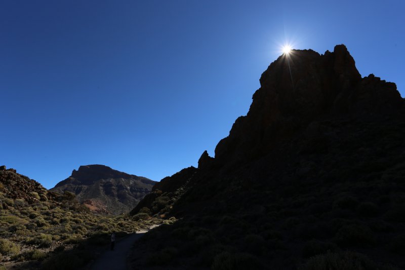
4. The Final Climb

Sendero 3, Roques de Garcia
As the Sendero 3 is a loop walk we came back to where we started. In the thin air the last climb was a bit hard, but only for the adults. The kids didn’t mind the climb, they were still running! We did the Roques de Garcia Hike, with four children!
And now, of course, all kids were super hungry again, so before taking the road back to the coast we took a lunch at the visitor center.
Mount Teide by Car: Back to the Coast


La Gomera and La Palma seen from the road
The drive down from Teide was amazing, the sun was now on the west side which made the dark lava fields shine even more. The clouds were still way below us and we had a stunning panorama over the neighboring islands La Palma and La Gomera, from above.
The kids slept all the way back home and missed the scenic downhill drive. But what about it, they didn’t miss the beautiful Mount Teide National Park.
Beautiful Tenerife!
The UNESCO listed national park has lava in its all forms

El Teide from the road to Chio and Tamaimo
More about Canary Islands
See our other Canary Island posts: