For years we had been talking about traveling Norway by motorhome. Then came the summer of 2020 when flying on vacation was out of the question. We couldn’t wait any longer, we bought a motorhome and off we went, to the arctic islands of Norway!
We traveled the long way to Lofoten, Senja and Tromsø, to follow marked routes to the most scenic places, to hike the most beautiful fells – and to spend our nights out in the wild.
This post will show you the Norwegian arctic north: Lofoten, Senja and Tromsø.

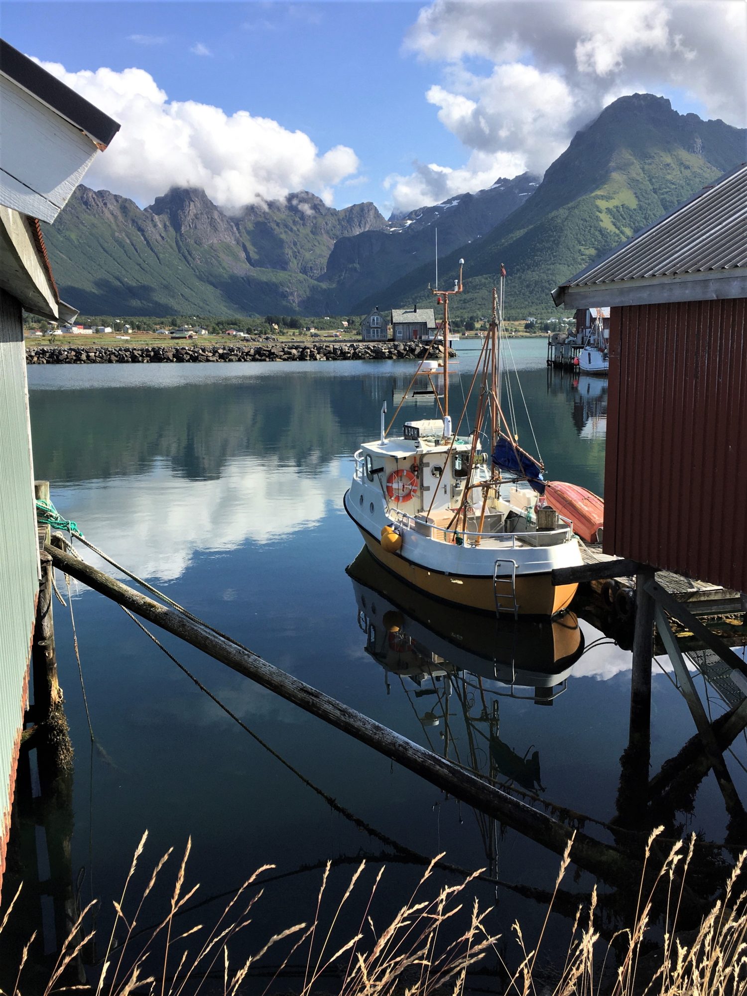
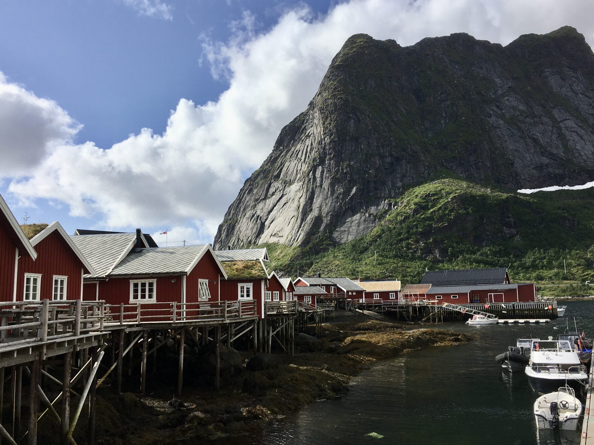
Hamnøy, a fishing village in Norway’s far north
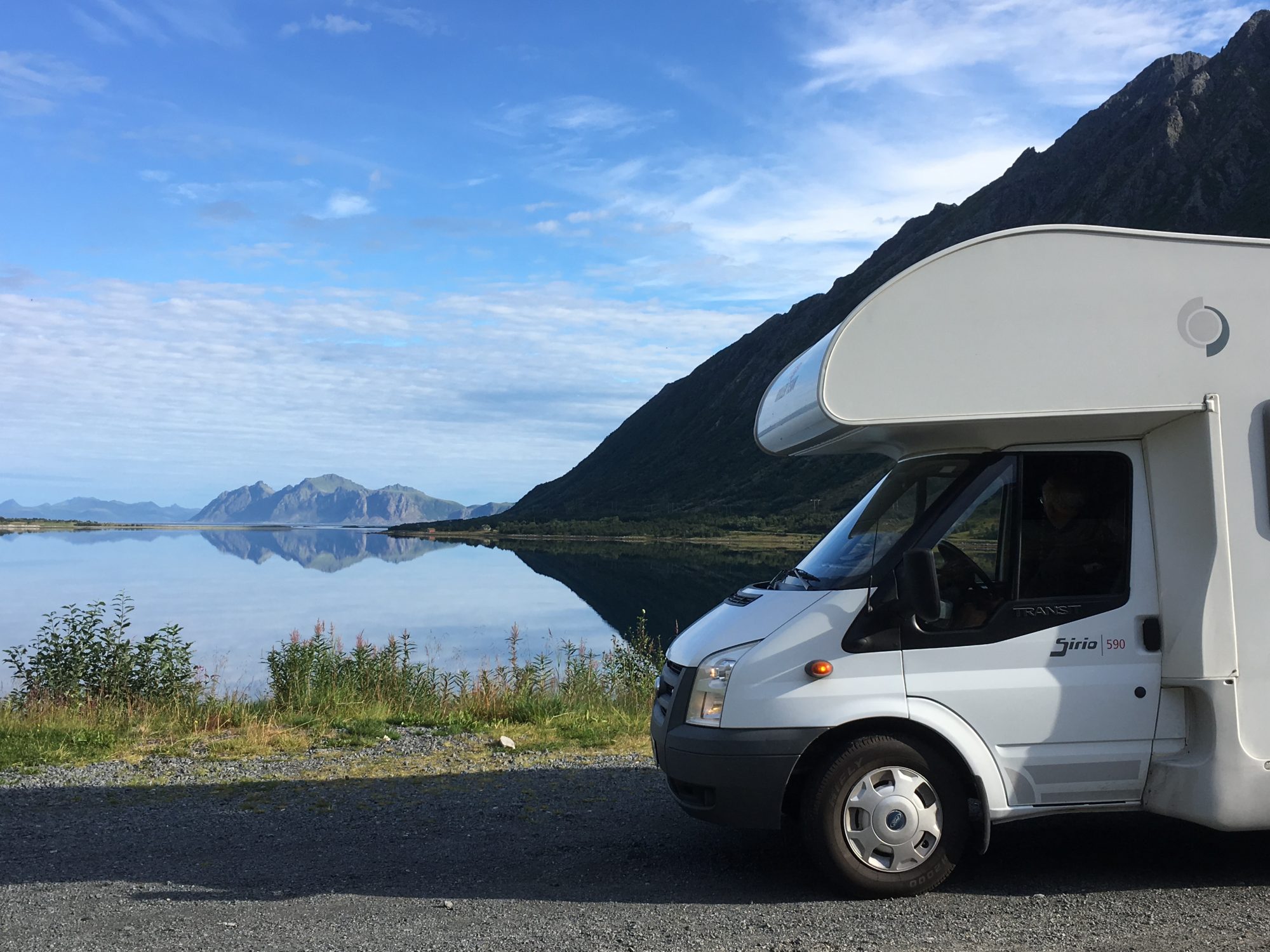
We were soon going to learn that the arctic north is the perfect summer destination that gets even better when you travel it by motorhome.
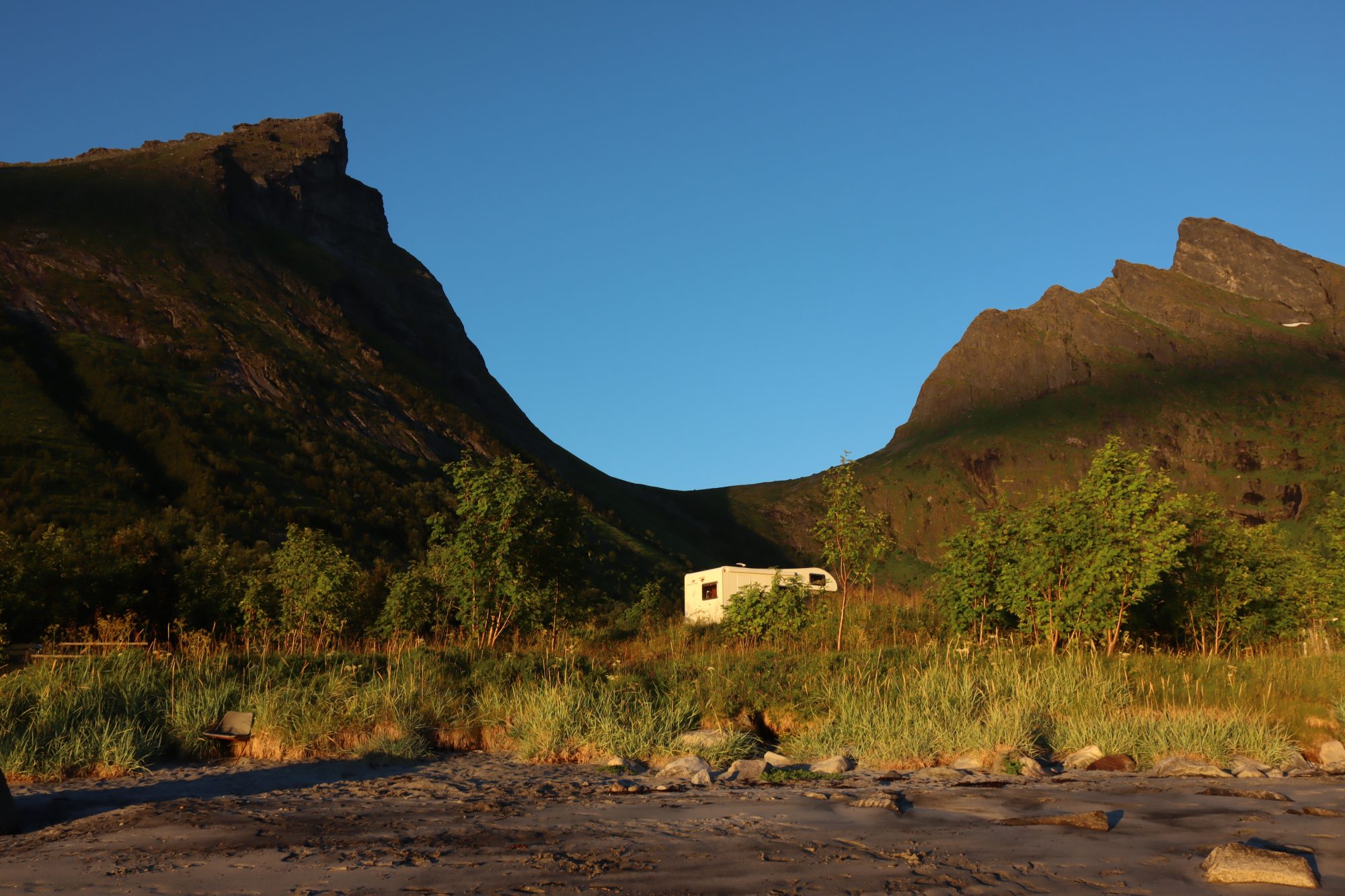
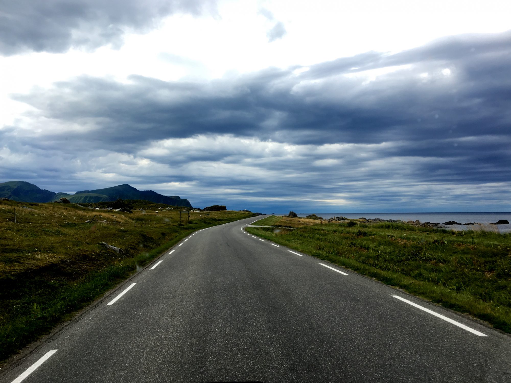
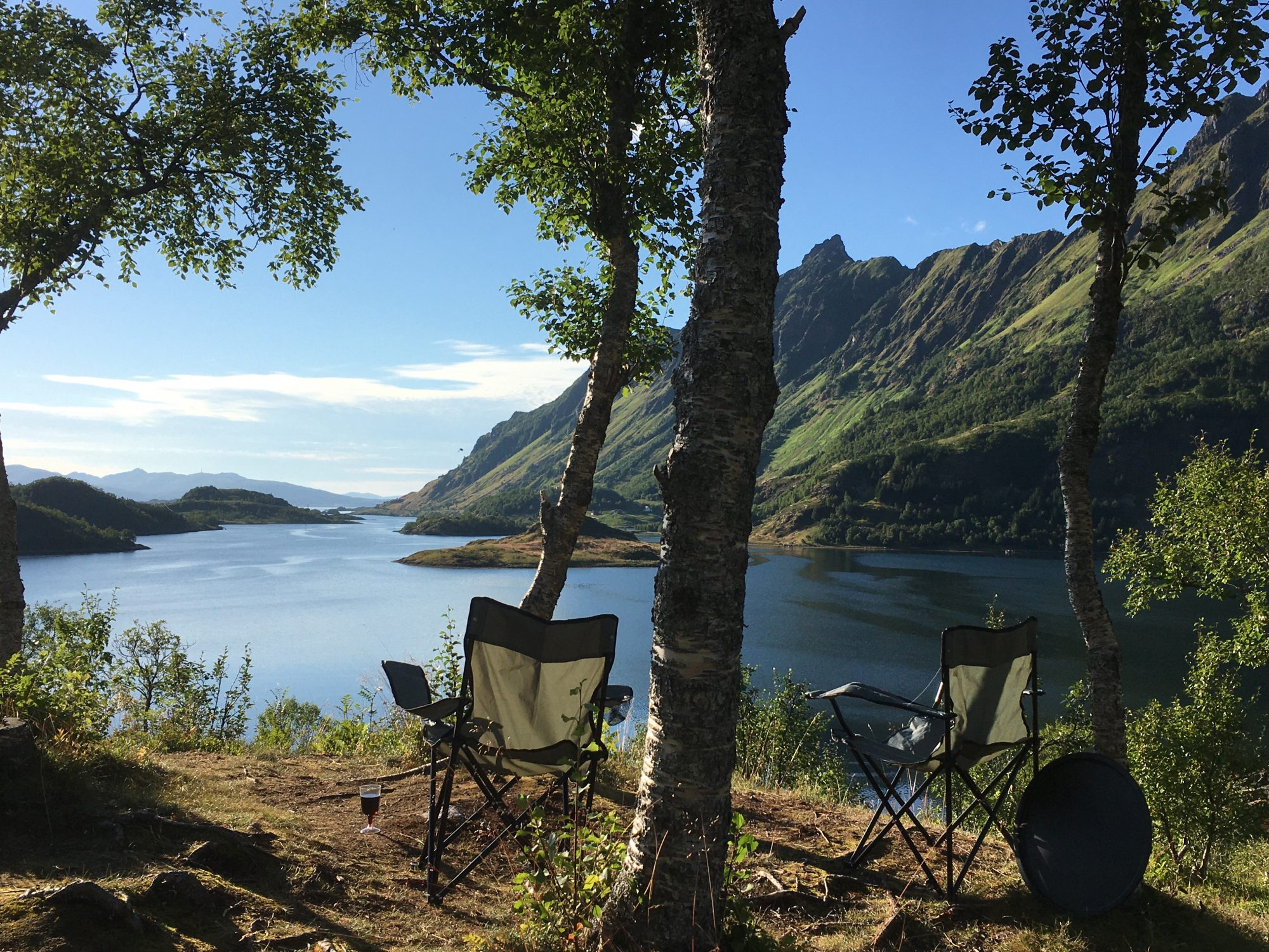
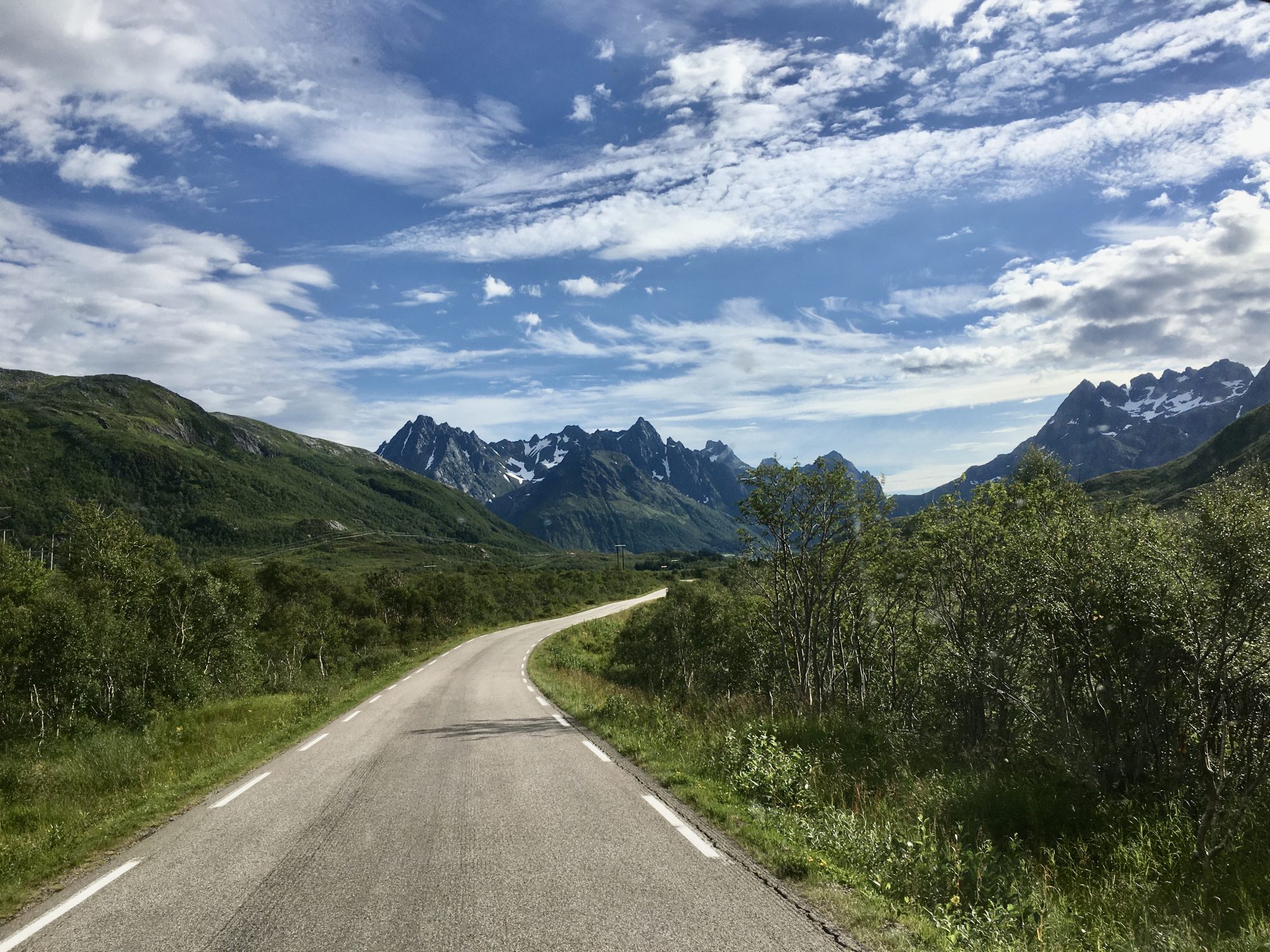
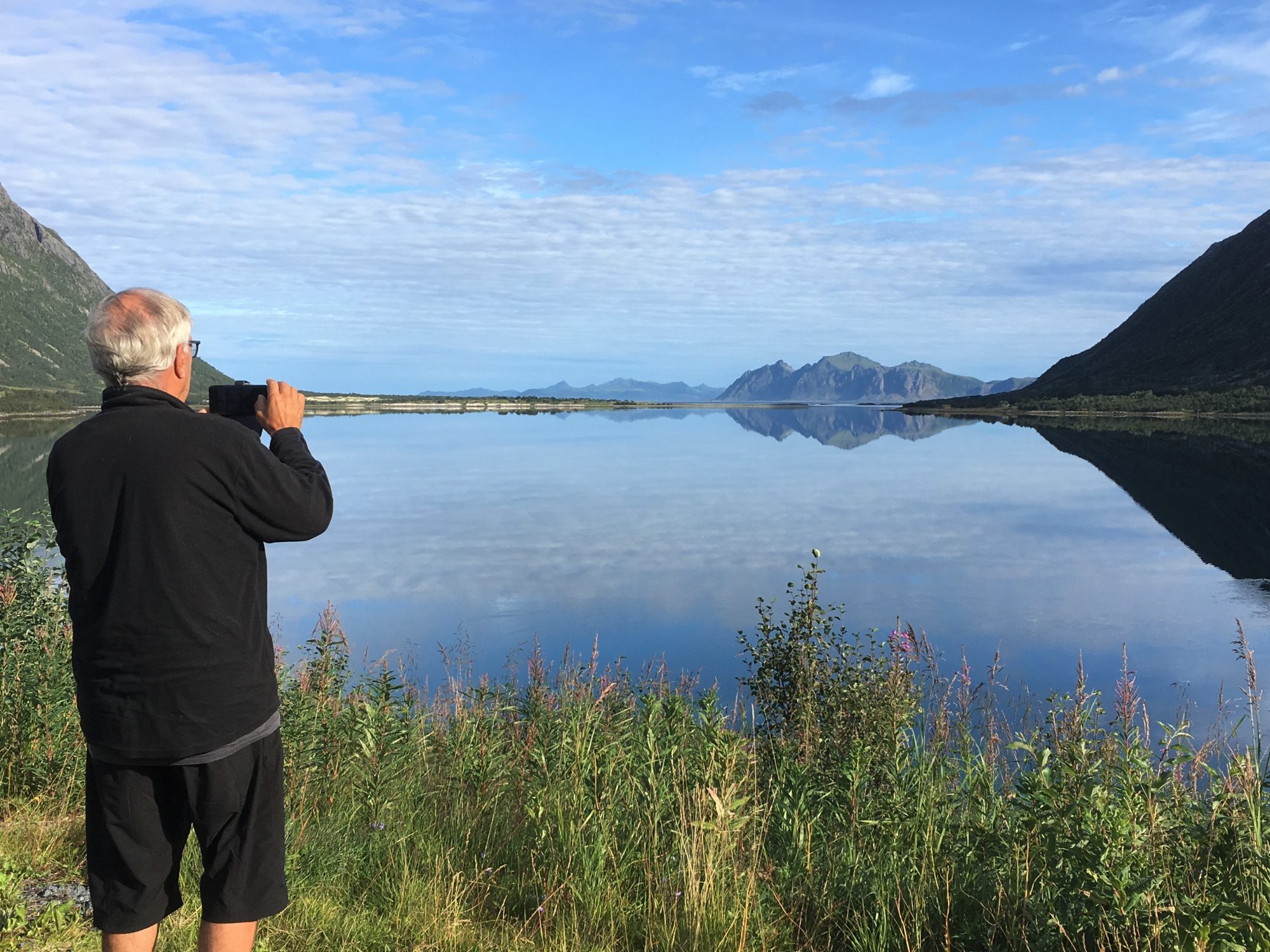
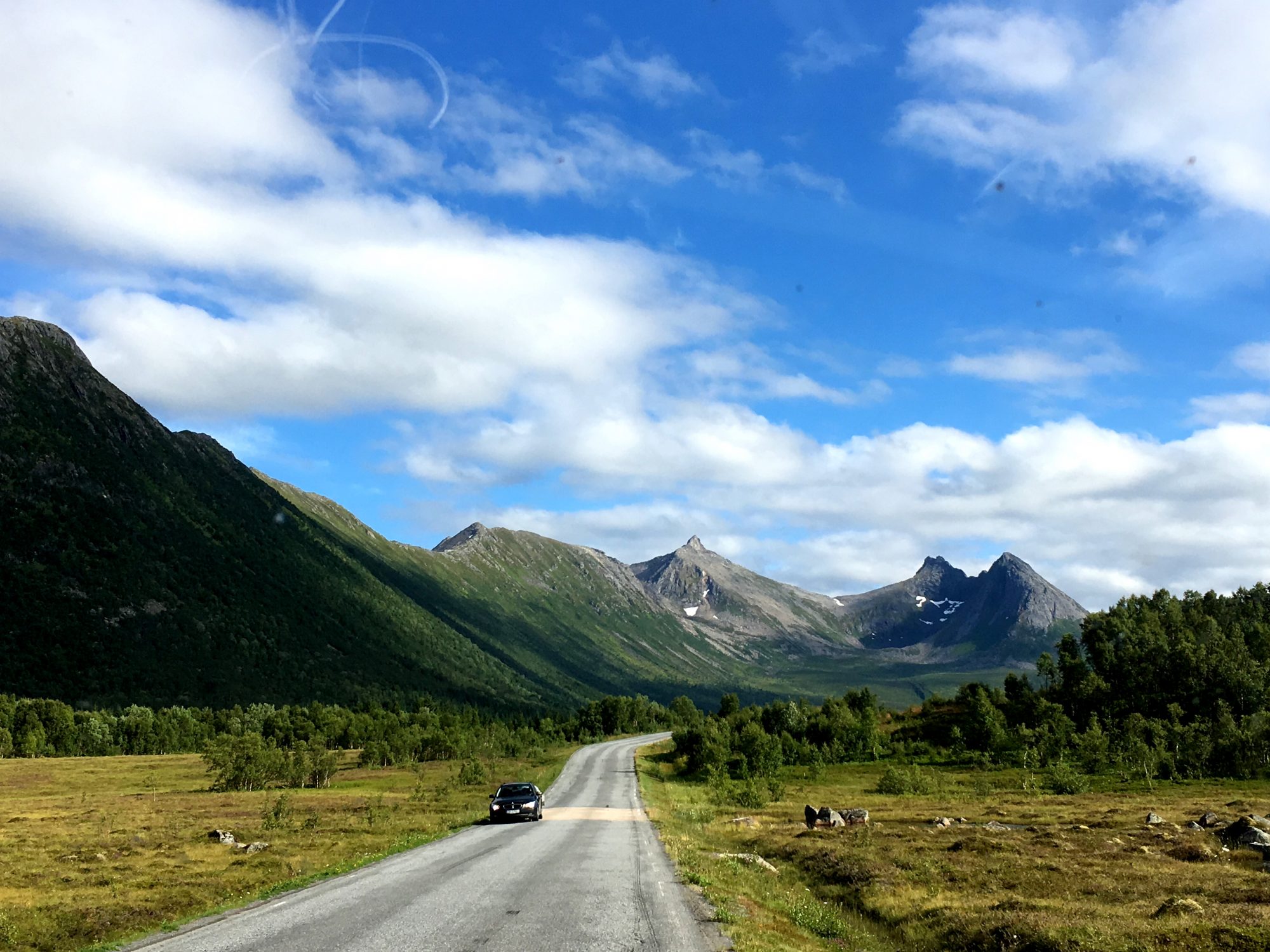
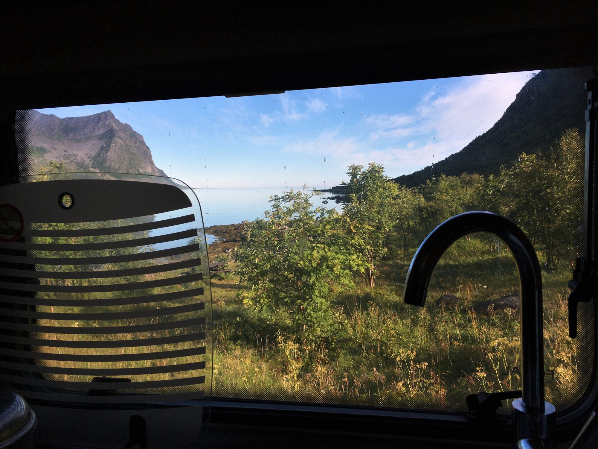
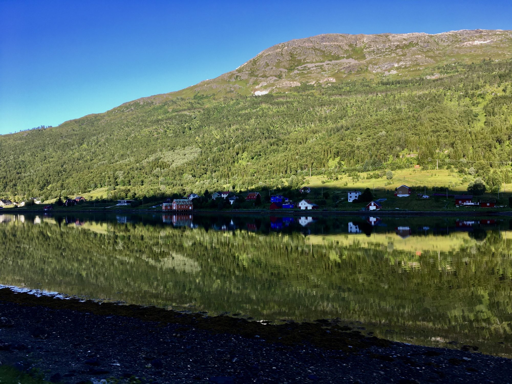
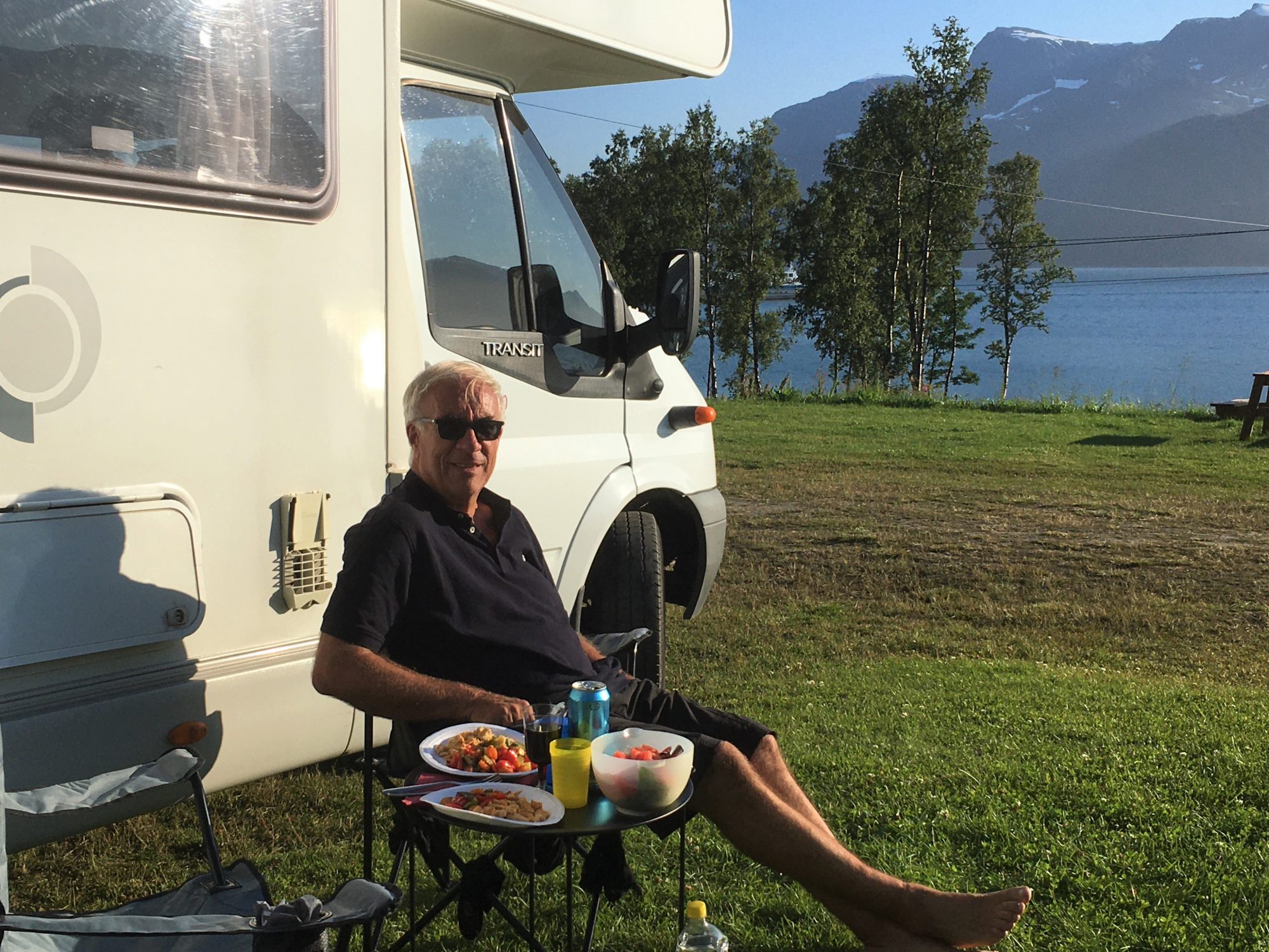
In a motorhome you will wake up with a different view each morning.

Norway by motorhome: a new view each morning
So what is Norway like beyond the Arctic Circle?
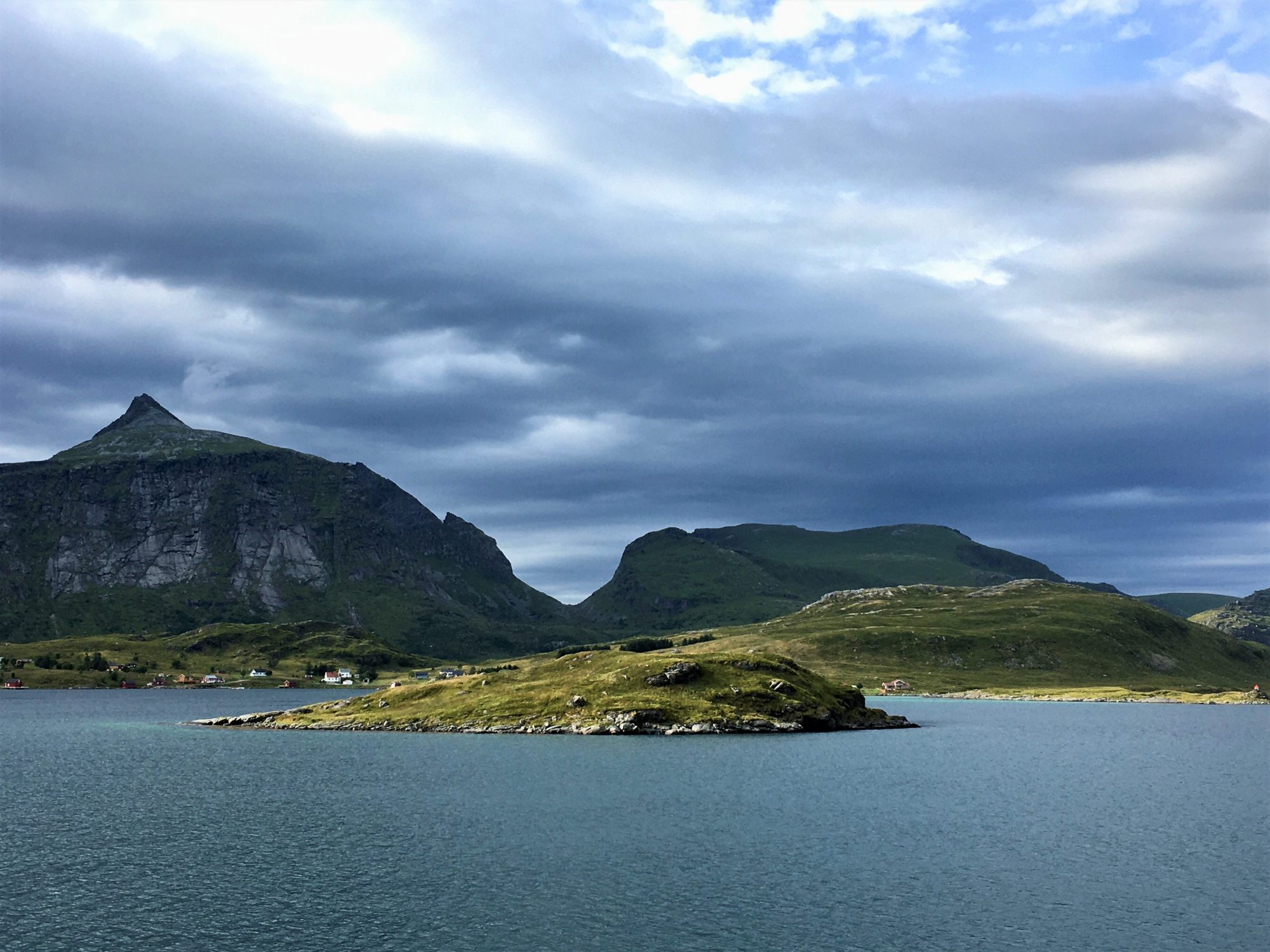
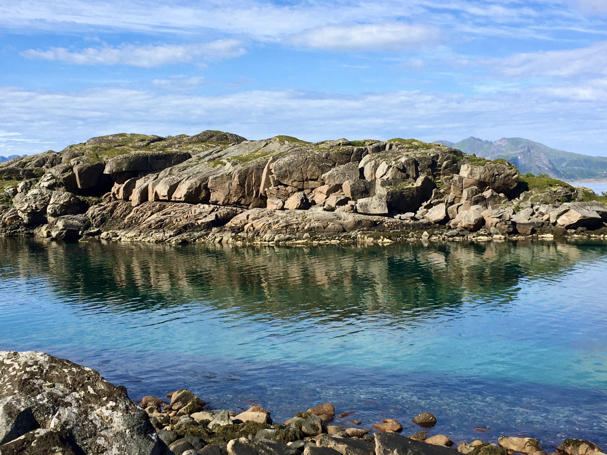
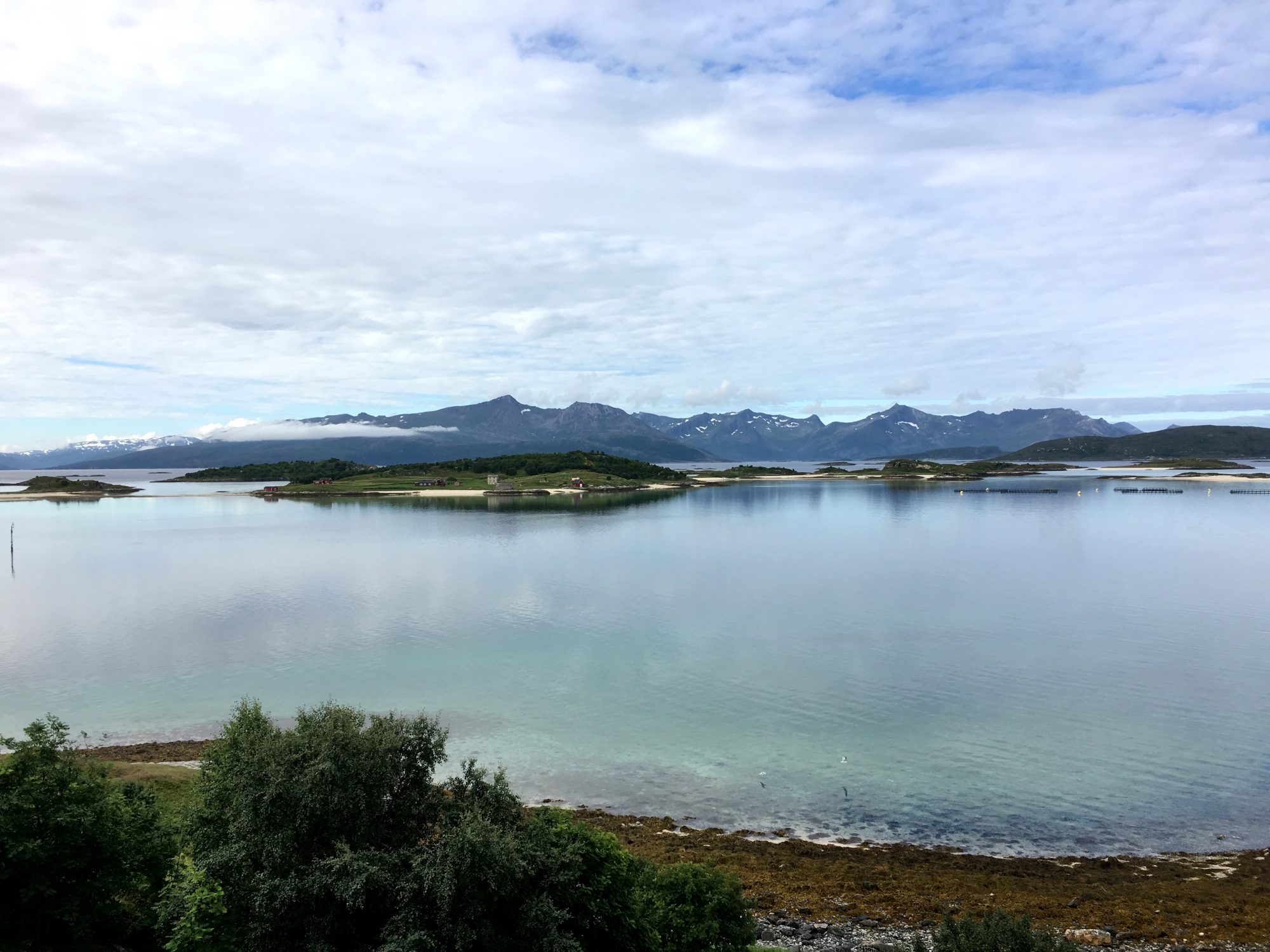
The Norwegian Arctic Coastline

Sunbathers at Hauglandstranda, Lofoten
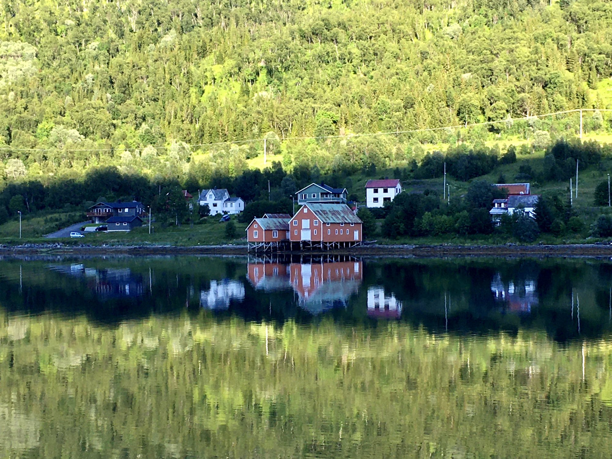
As Norway is all coast and mountains, in some places it’s all islands, especially beyond the Arctic Circle. Then, Norway has countless fjords that split islands up into smaller parts.
If you count Norway’s islands, they are some 50,000 in number. Among the biggest of them are Hinnoya, Senja, Langøya and Kvaløya that you will see in this post.
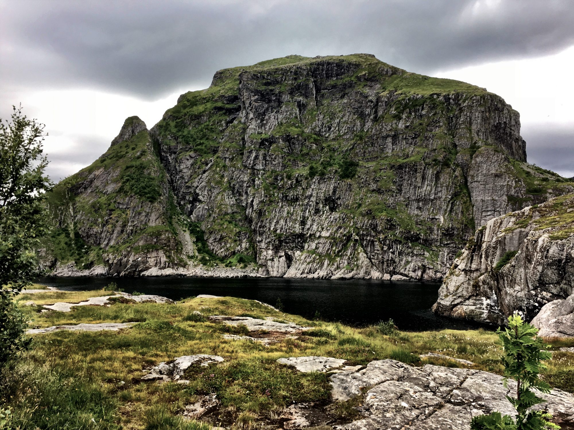
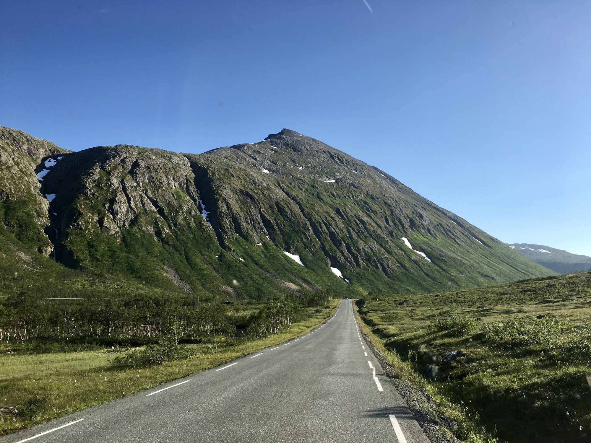
Then there are steep fells rising straight from the sea, many of them white all year round. Where we went the peaks were 500 to 700 m high, sometimes 1000 m. The highest peaks were the Lyngen Alps at 1800 m.
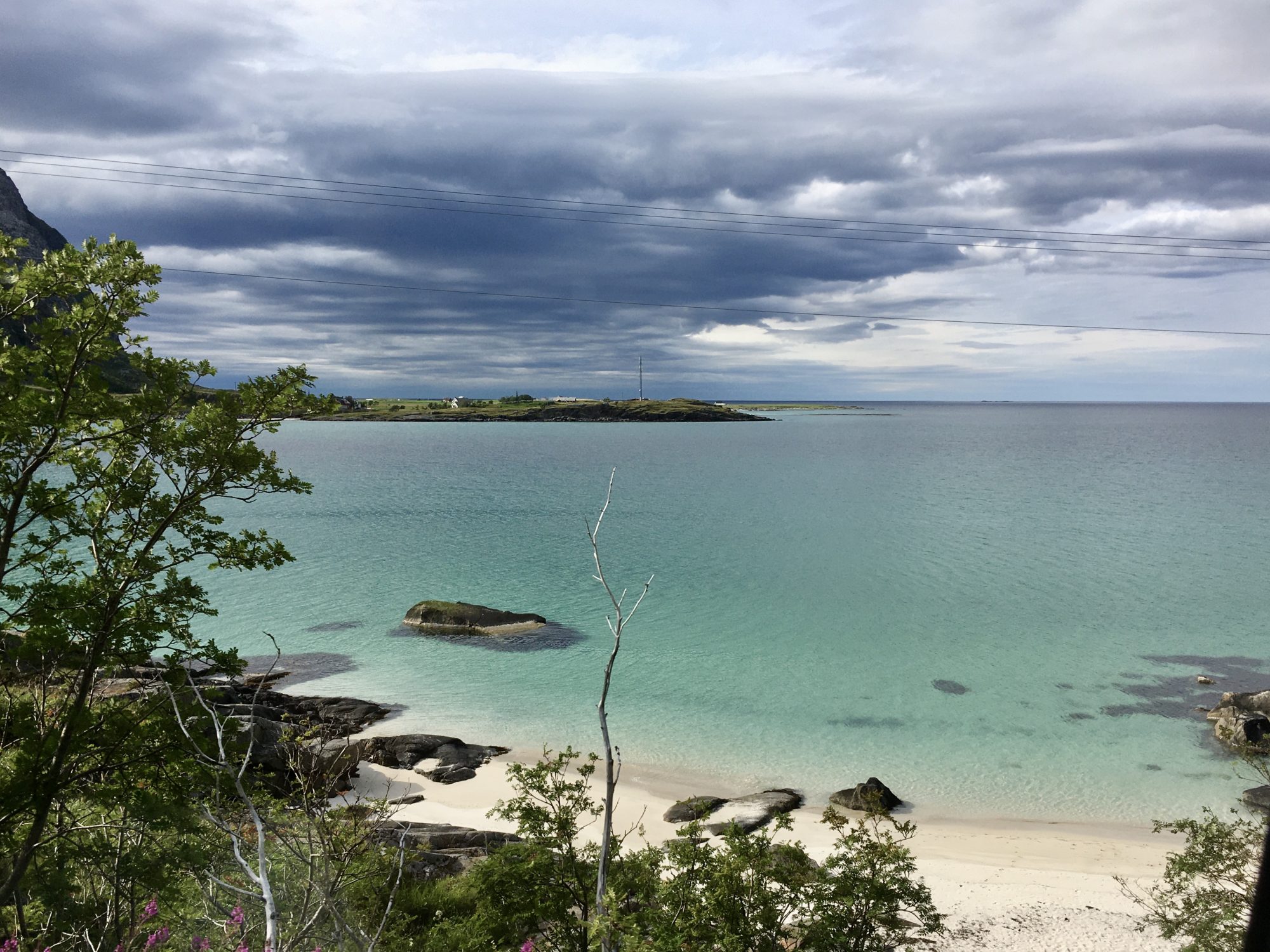
And: in between they have Caribbean-like beaches, some of them made of corals. White paradise beaches beyond the Arctic Circle!
Island Hopping in North Norway
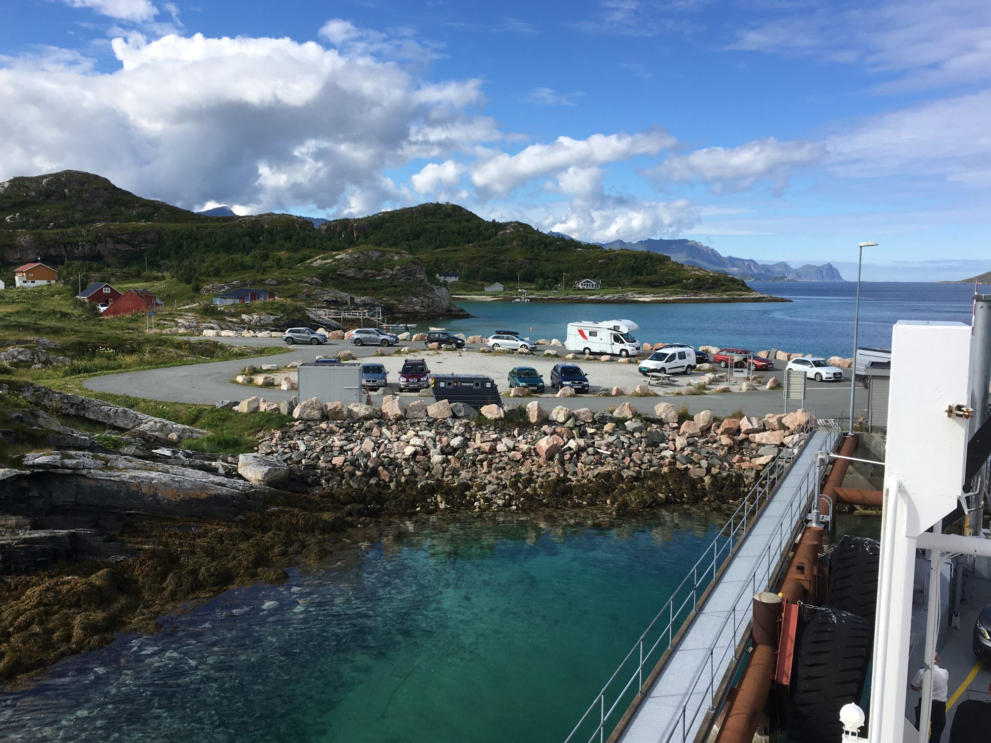
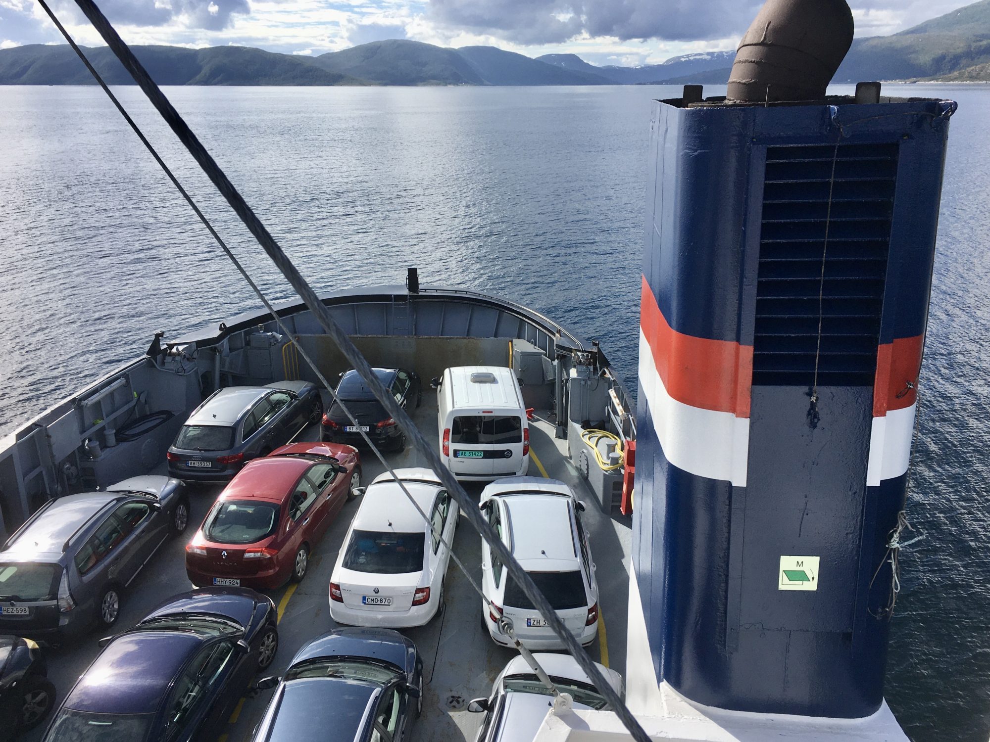
To get from one island to another there are bridges, tunnels and ferries. As moving between islands is so easy, North Norway is the perfect place where to island hop. So just go ahead – island hop by motorhome!
Norway island hopping in a motorhome:


Exploring the archipelago of North Norway
Now about our itinerary:
Norway by Motorhome: Lofoten, Senja & Tromsø
Below you will see our itinerary, starting from Finland and crossing the Finnish-Norwegian border at Kilpisjärvi. In Norway we took the E6 straight to the Lofoten Islands a few hundred km south. That was across mountains.
On the way back from Lofoten it was all across islands. We returned through Vesterålen, Senja, Sommarøy and Tromsø:
North Norway driving itinerary: Lofoten, Senja and Tromsø
In addition to the drive we also marked the best short hikes along the road, and some other sights.
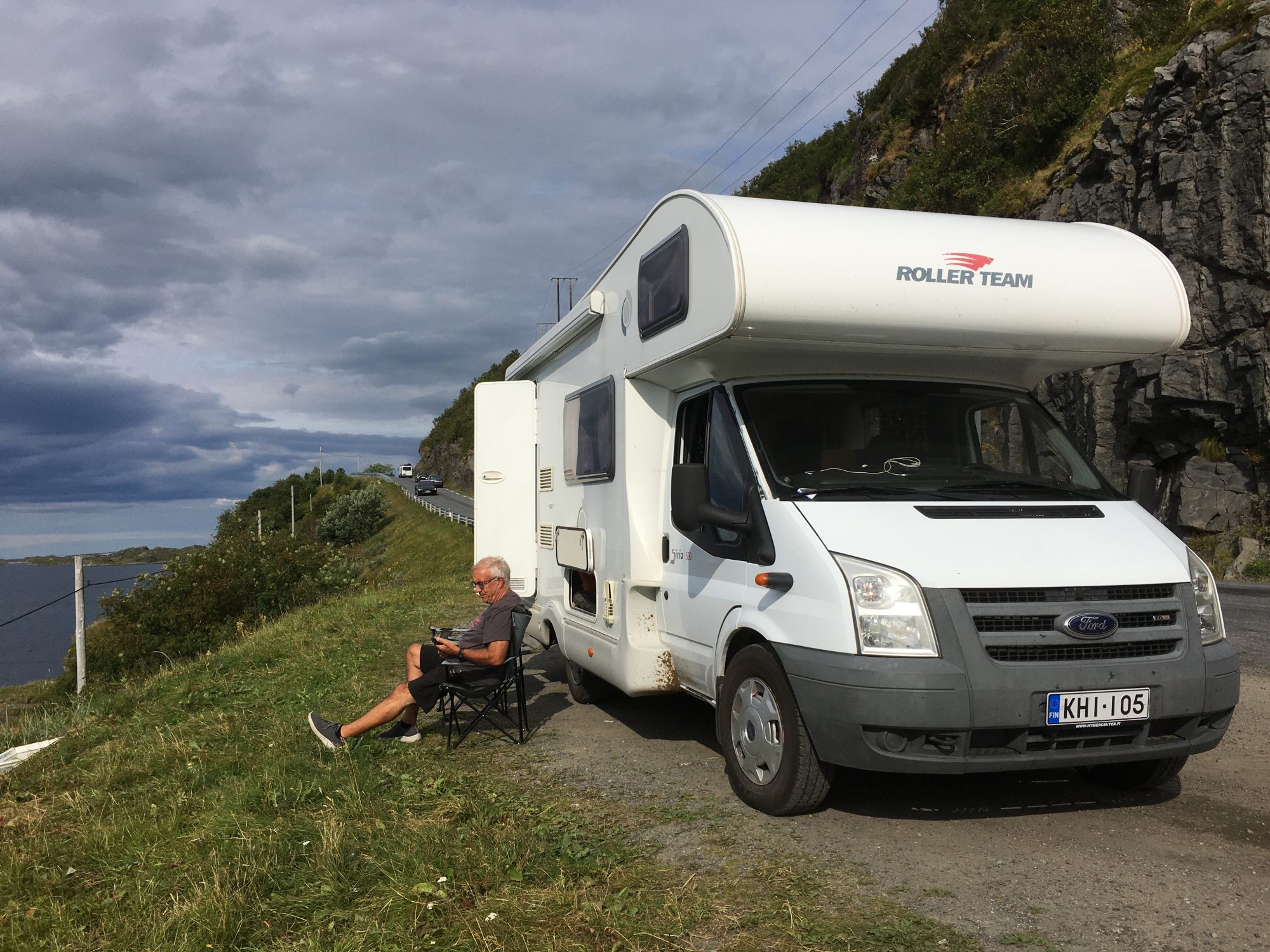
We spent two weeks on the road and our primary purpose was to discover Norwegian nature. For that reason we used a lot of time hiking and climbing fells.
To avoid any risk for a covid infection we skipped all museums, exhibitions and indoor things, and for the same reason we also prepared all meals in the van. So no fish restaurants, cafes, terraces and such things this time.
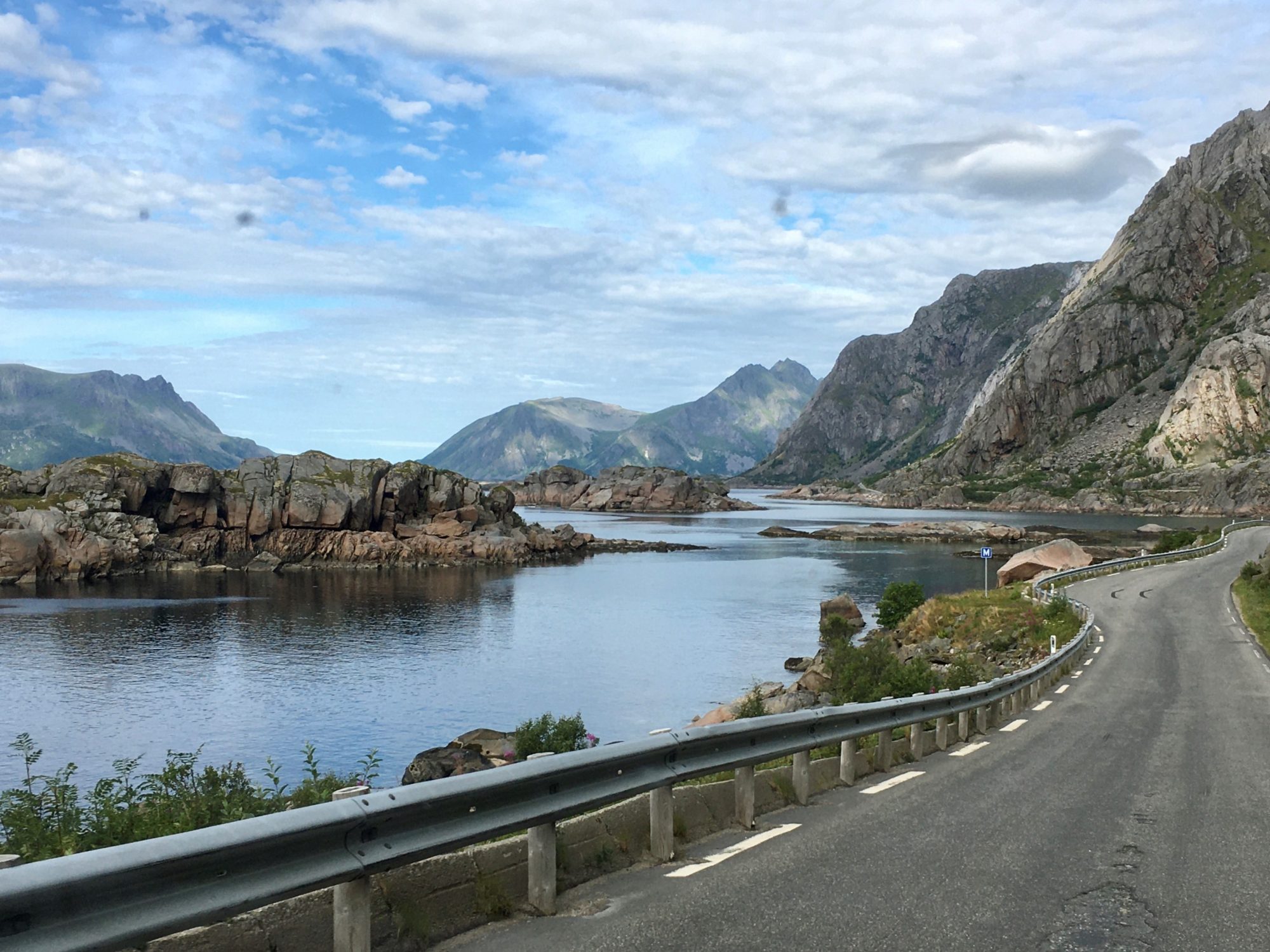
As driving in Norway is very slow our average speed was no more than 65 km/hour. Even when all main roads are good, on most islands roads are narrow, winding and there are many long tunnels.
So we went straight to Lofoten:
The Lofoten Islands


Norway by motorhome: Reine in the southern part of Lofoten
We decided to start with the most famous destination. The Lofoten Islands are the long, prominend island chain in the outer skerries of Norway that clearly stands out on any Norway map.
The long island row is all mountains, a row of steep mountains rising directly from the ocean. In a way Lofoten is a massive wall or breakwater against the rough sea. A well needed breakwater on islands that live from fishing.
The Scenic Road of Lofoten
As the separate Lofoten islands are linked by a road you can drive all the way through. The national E 10 road, also called the Norwegian Scenic Route Lofoten, winds its way through the islands of Augustvågsøya, Vestvågsøya, Flakstadsøya and Moskenesøya. The distance from north to south is almost 200 km.
In all North Norway has six national scenic routes, of which we used three: Lofoten, Vesterålen and Senja. For information on Norwegian Scenic Routes click to the Visit Norway website.
While Lofoten normally draws international tourists like a magnet, this summer was different. Practically only Norwegian and Finnish travelers were allowed in. They came in so large numbers that it was kind of crowded, at least compared to all other places we went to.
But that’s not without a reason. Lofoten is exceptional. Wherever you go it’s so incredibly beautiful – at least in good weather.
Lofoten: the South
We will first show you the south part of the island chain.
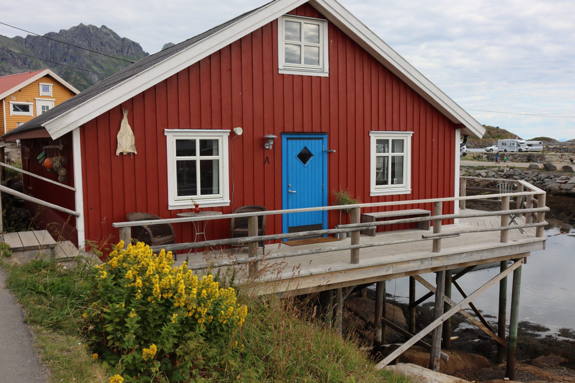
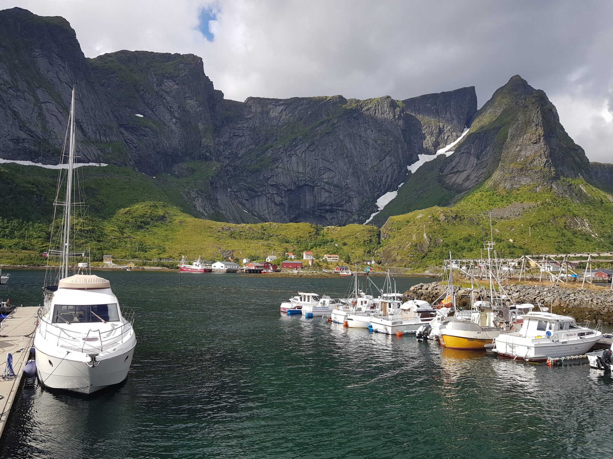
The southern islands of Lofoten look like what most people think Lofoten is like: many tiny islands in a row, steep mountains rising from the sea – and postcard-pretty fishing villages with rorbuer, fishermen’s cabins built on stilts:
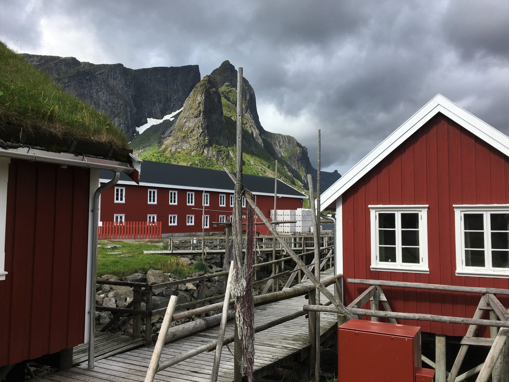
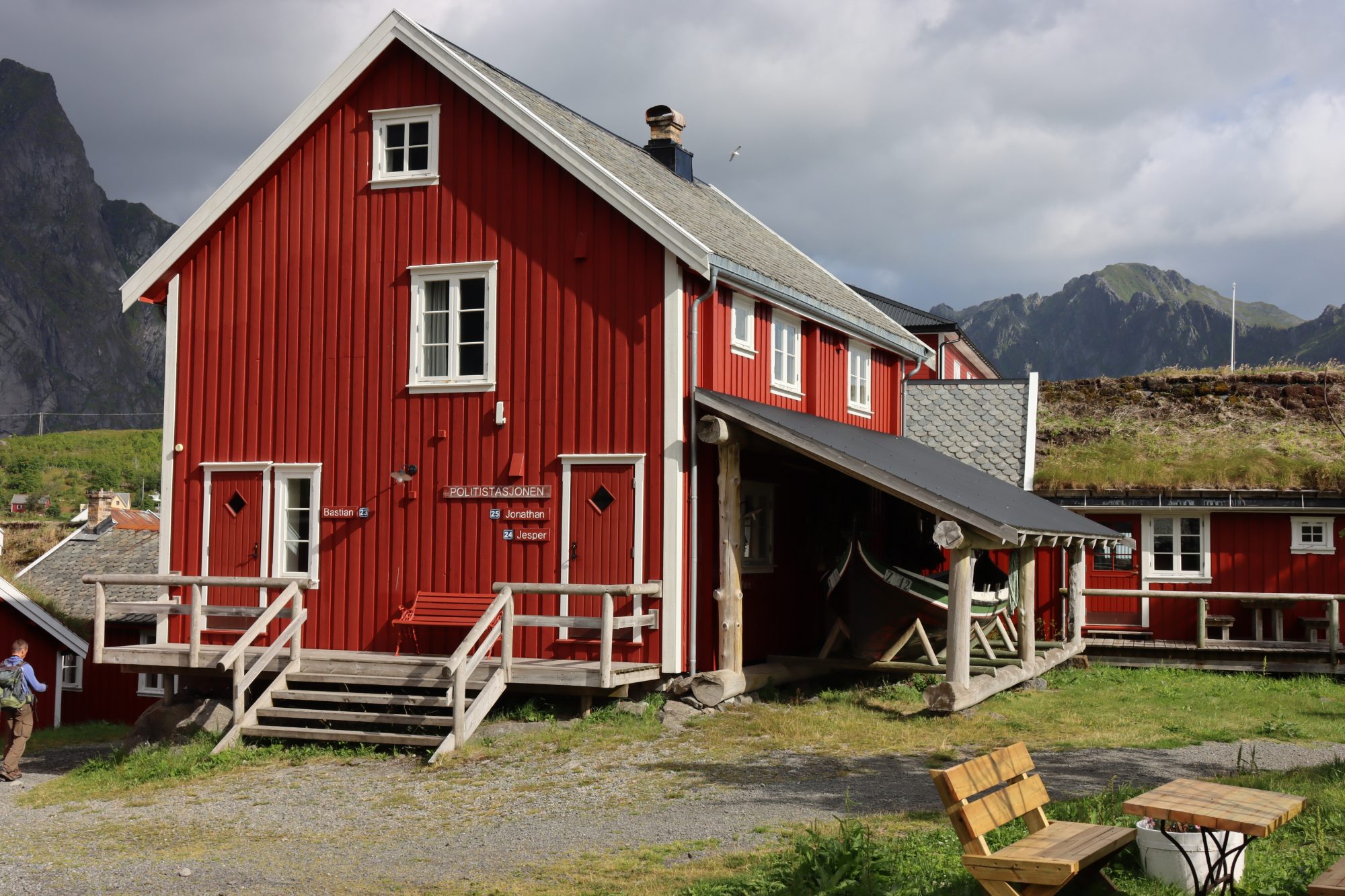
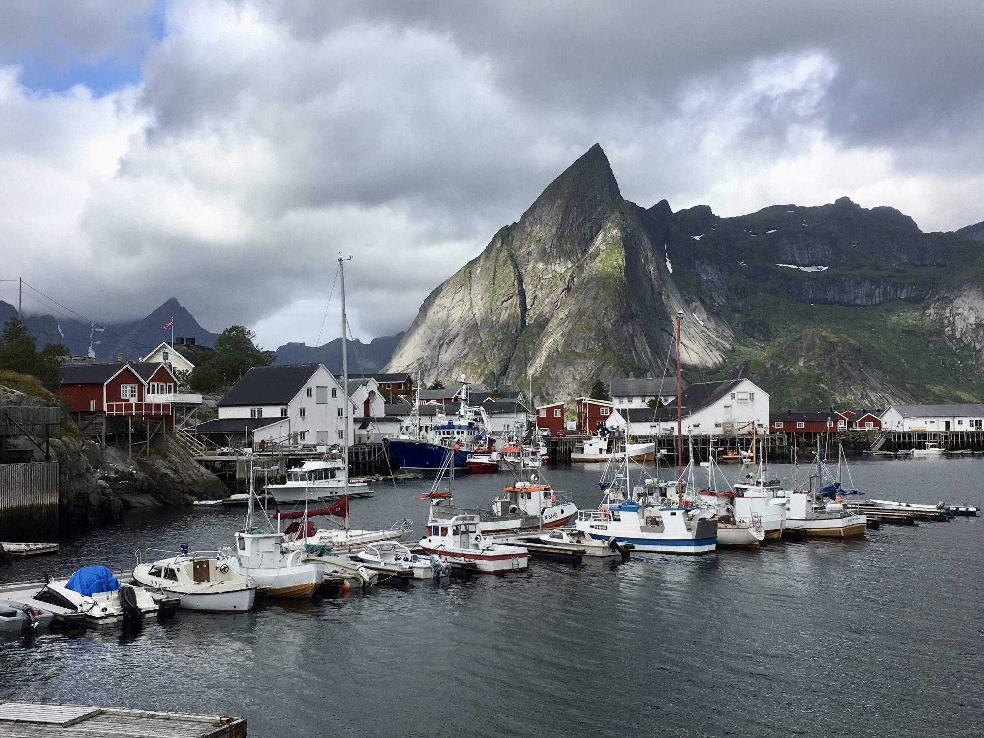
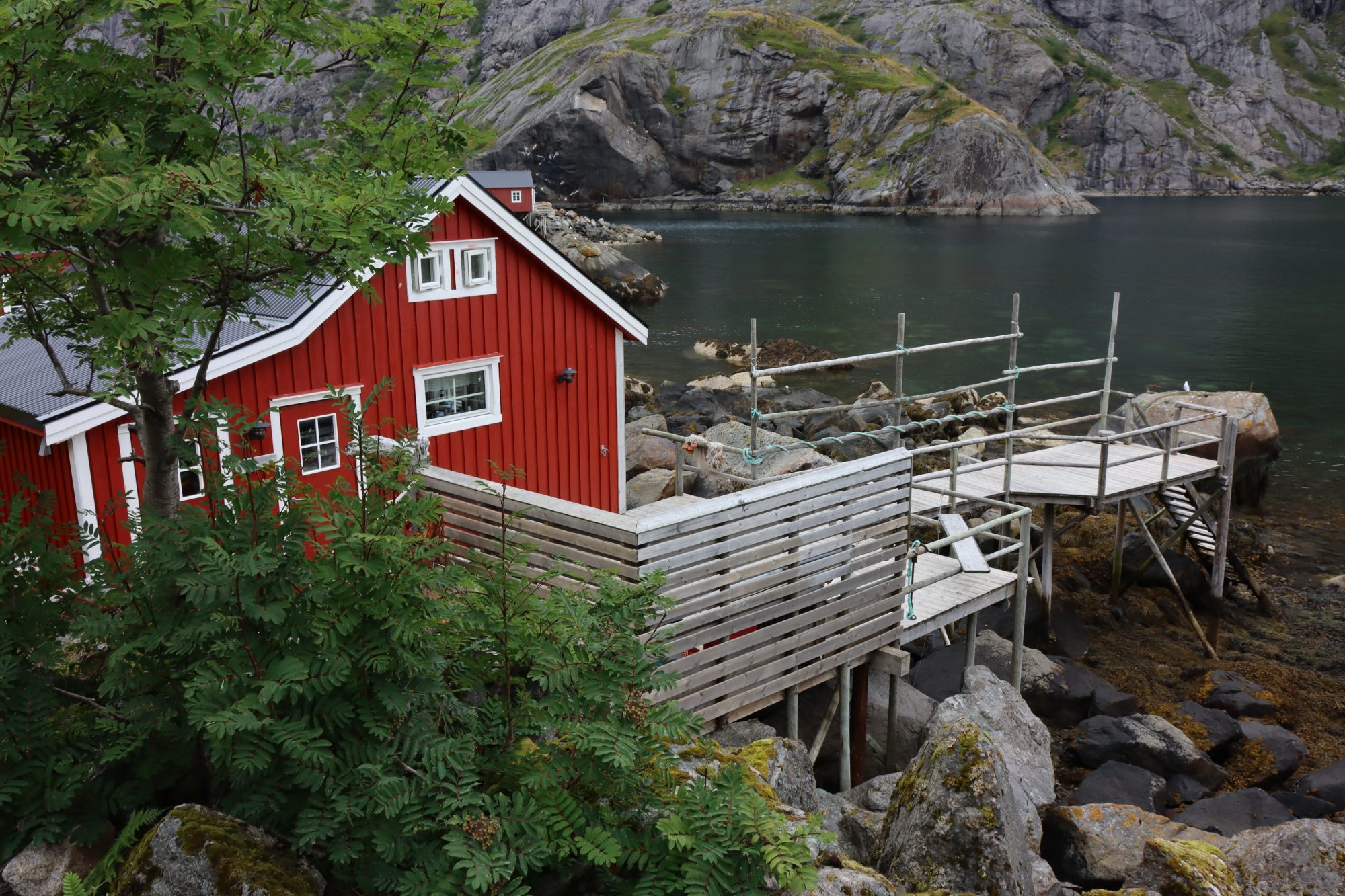
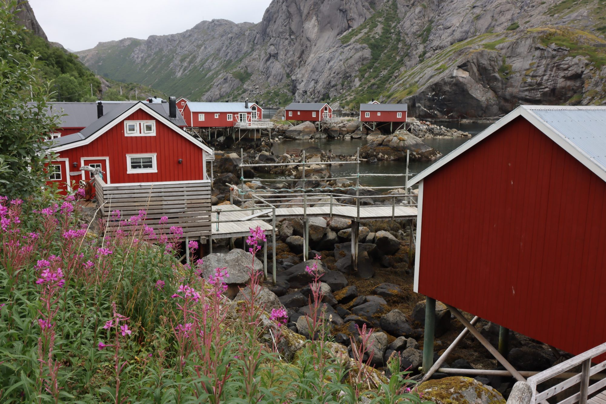

South Lofoten: Å, Reine, Moskenes, Hamnøy and the UNESCO listed Nusfjord
Fishing villages, bridges, islands one after another, the real Lofoten! Then, Å in the south is where the massive Lofoten wall suddenly ends and so does the road. Beyond Å there’s only the vast ocean and some remote bird islands.
In Reine you can hike the Reinebringen fell next to the village. Read about our Reinebringen hike in this post: Five Short Lofoten Hikes for Great Mountain Top Views. The same post contains hiking tips in Haukland as well as a hike to the top of Hoven on the Central Islands.
Central Islands of Lofoten

Jagged peaks of the Lofoten Islands
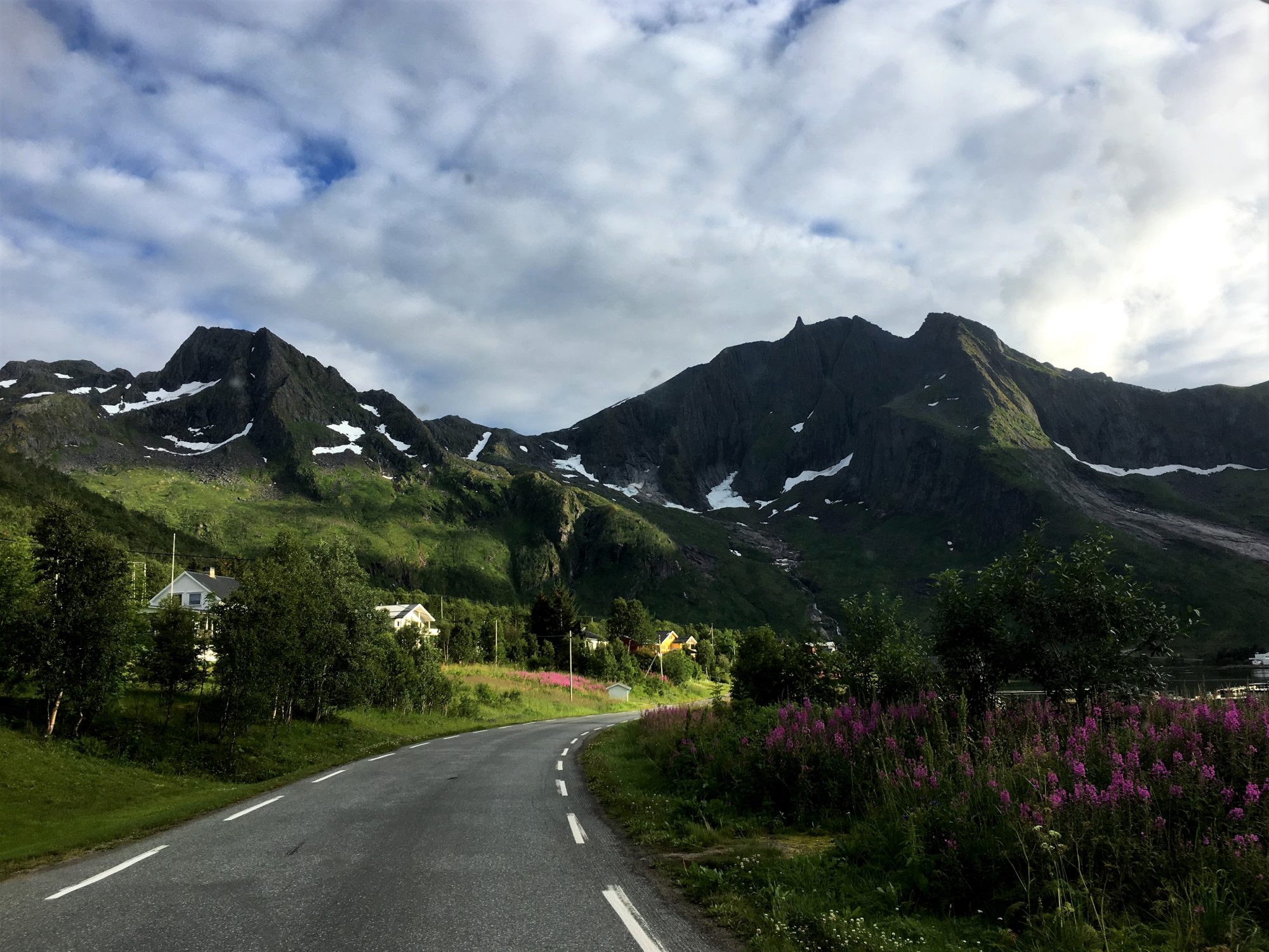
While the south lives on fishing, Vestvågøya and Flaksdadøya in the center are an old farming region. Rolling hills, green farmlands and scattered farmhouses are what you will see in this part of the island chain.
What else is there? Deep turquoise waters and white paradise beaches. Can you imagine finding a beach paradise like this beyond the Arctic Circle? At least in August when we were visiting there was a real paradise feeling. Sunny days, warm weather and all the beauty around us.
Photos from the scenic road of Lofoten:

Drive through the central islands of Lofoten
The region’s main tourist hub Leknes offers accommodation both in rorbuer and hotels. A wide range of outdoor activities is available in the area around the city, mostly based on mountains or water.
The other tourist center is Flakstad, a coastal village surrounded by turquoise waters.
The midnight sun is visible in the Lofoten Islands from the end of May till mid July. Wishing to be here at that time, sitting on one of the white beaches through the nightless night!


White beaches and ice-cold turquoise waters of Lofoten
The central islands are a good hiking destination. Read about our hikes in Haukland and Gimsoya: Five Short Lofoten Hikes for Great Mountain Top Views
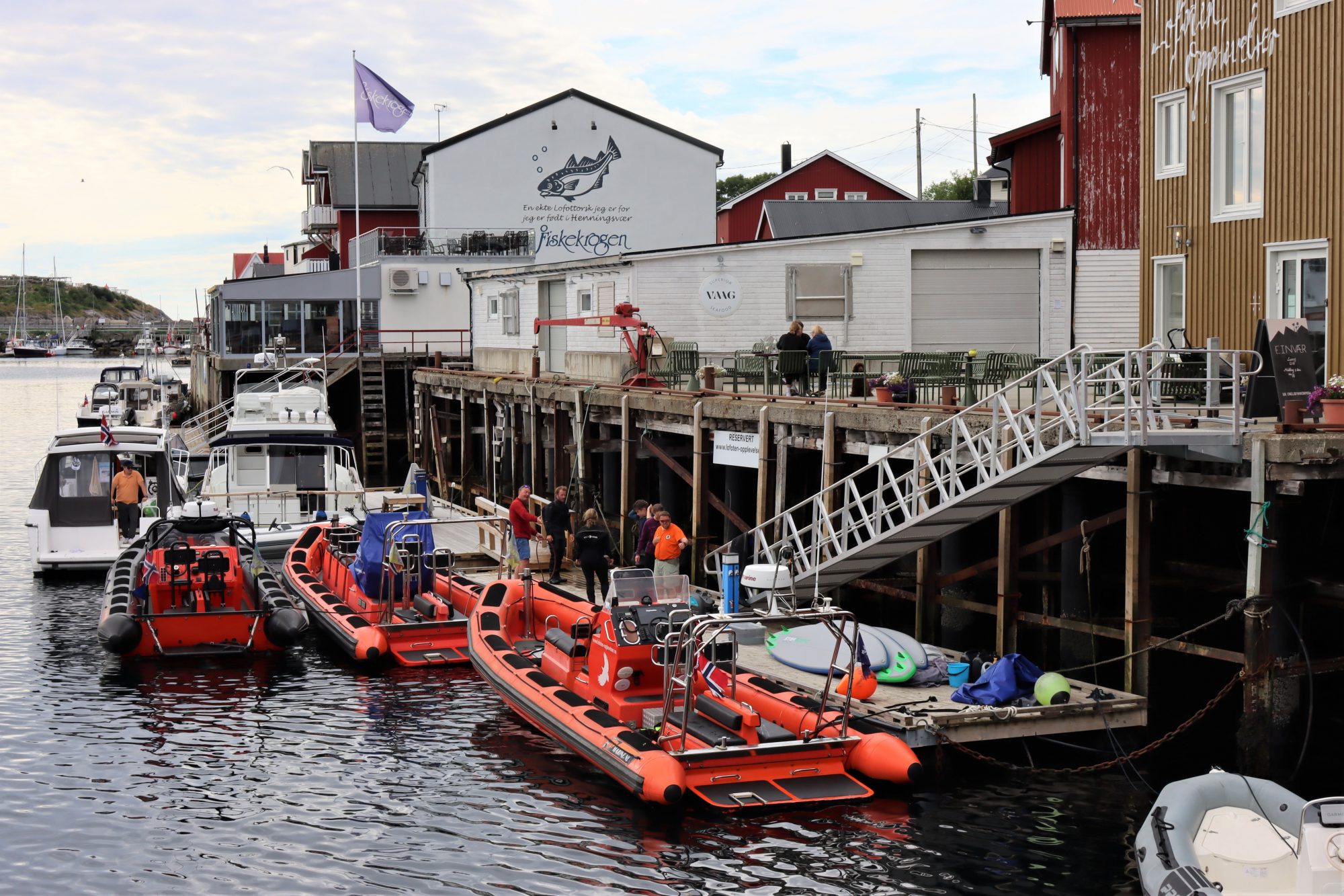
Then, further north comes Hennigssvaer, a fishing village you absolutely must visit. That needs a side trip from the main road:
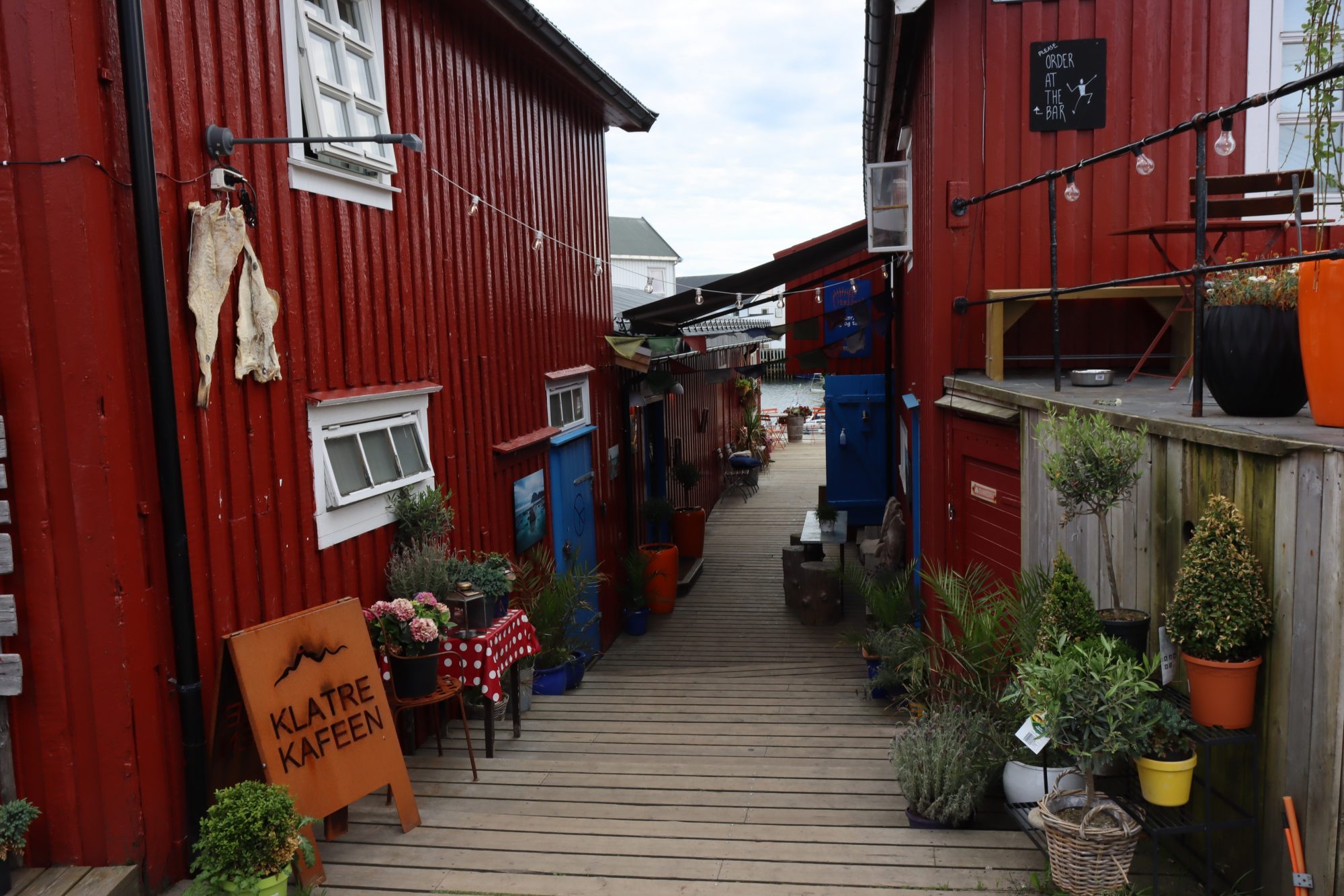
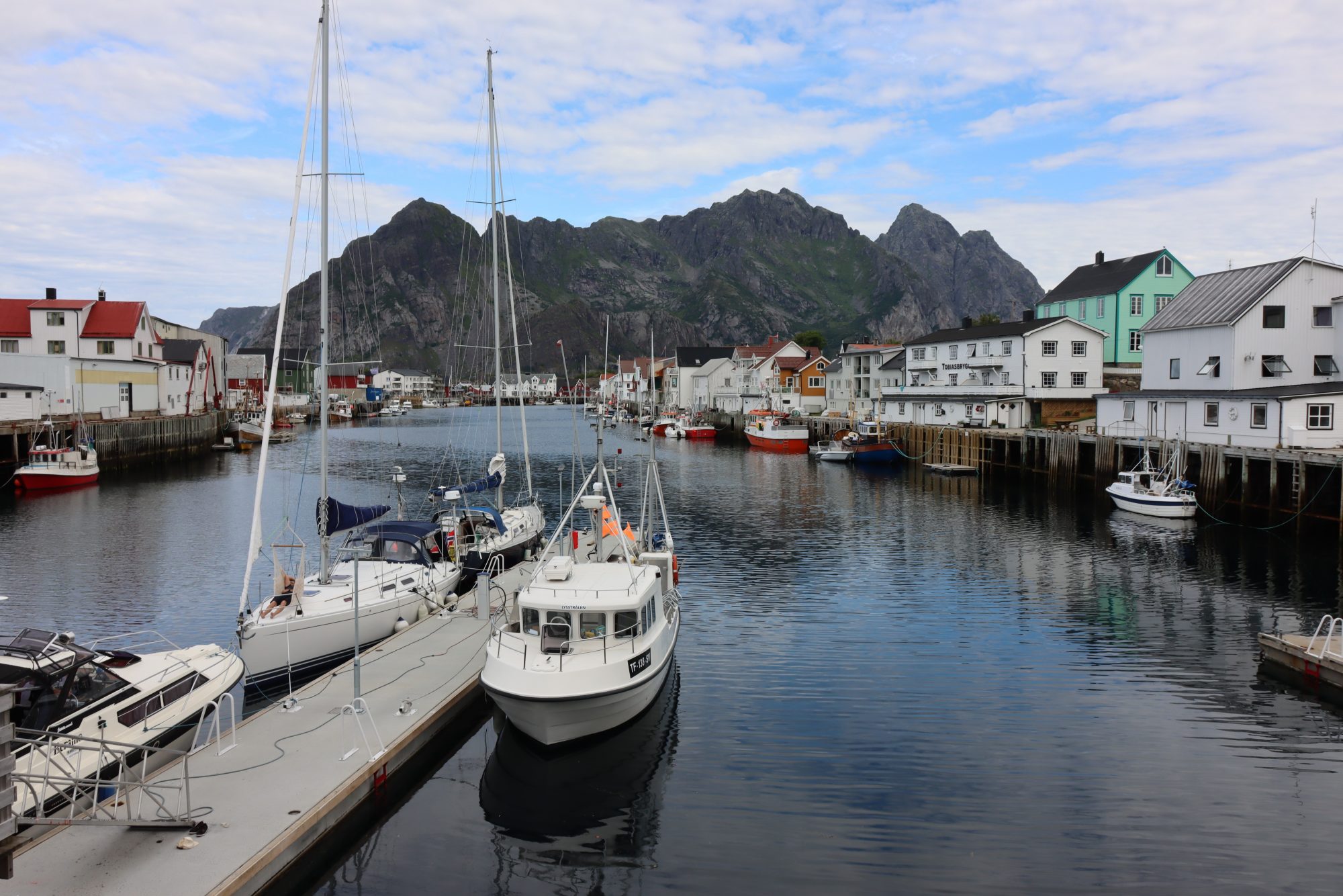
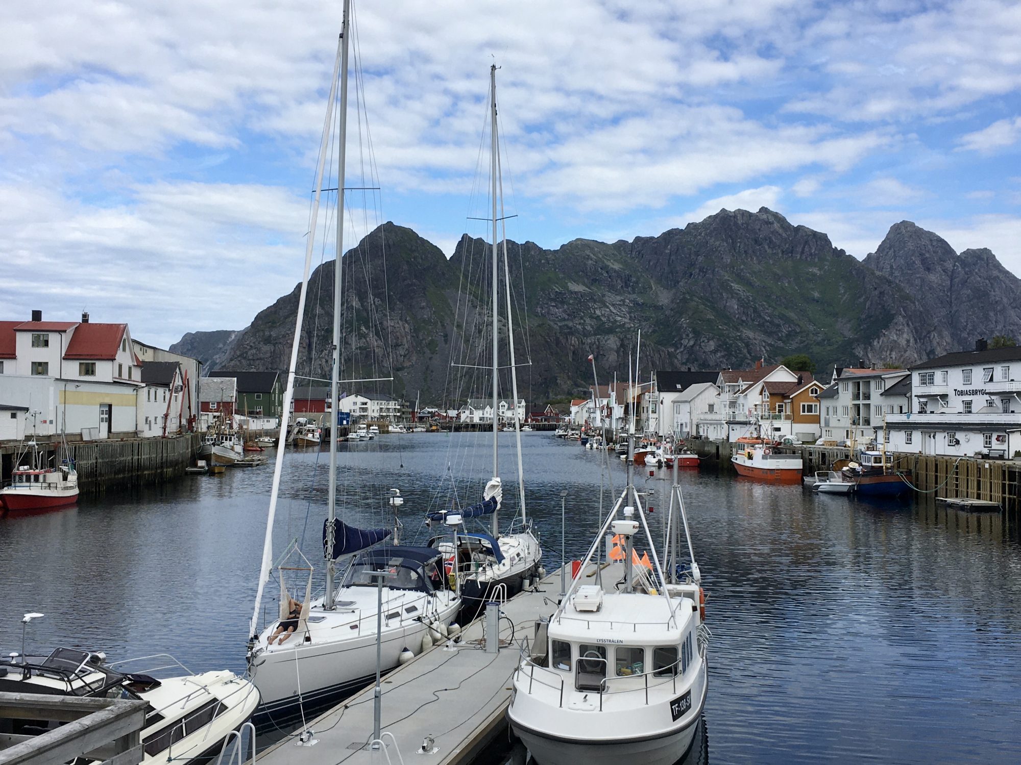
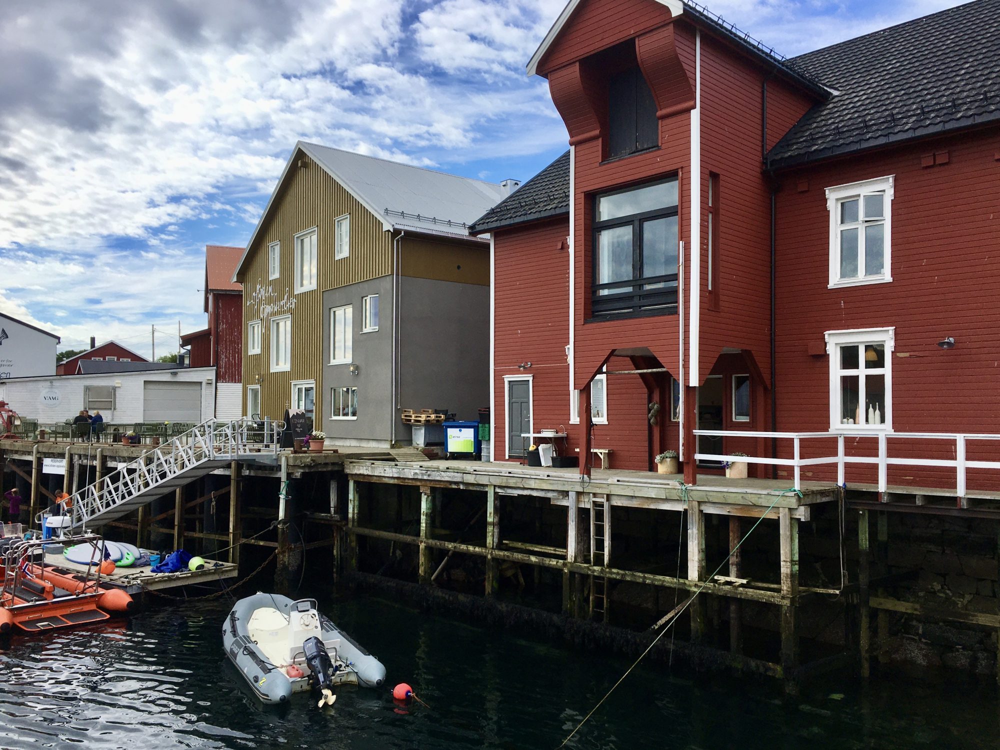
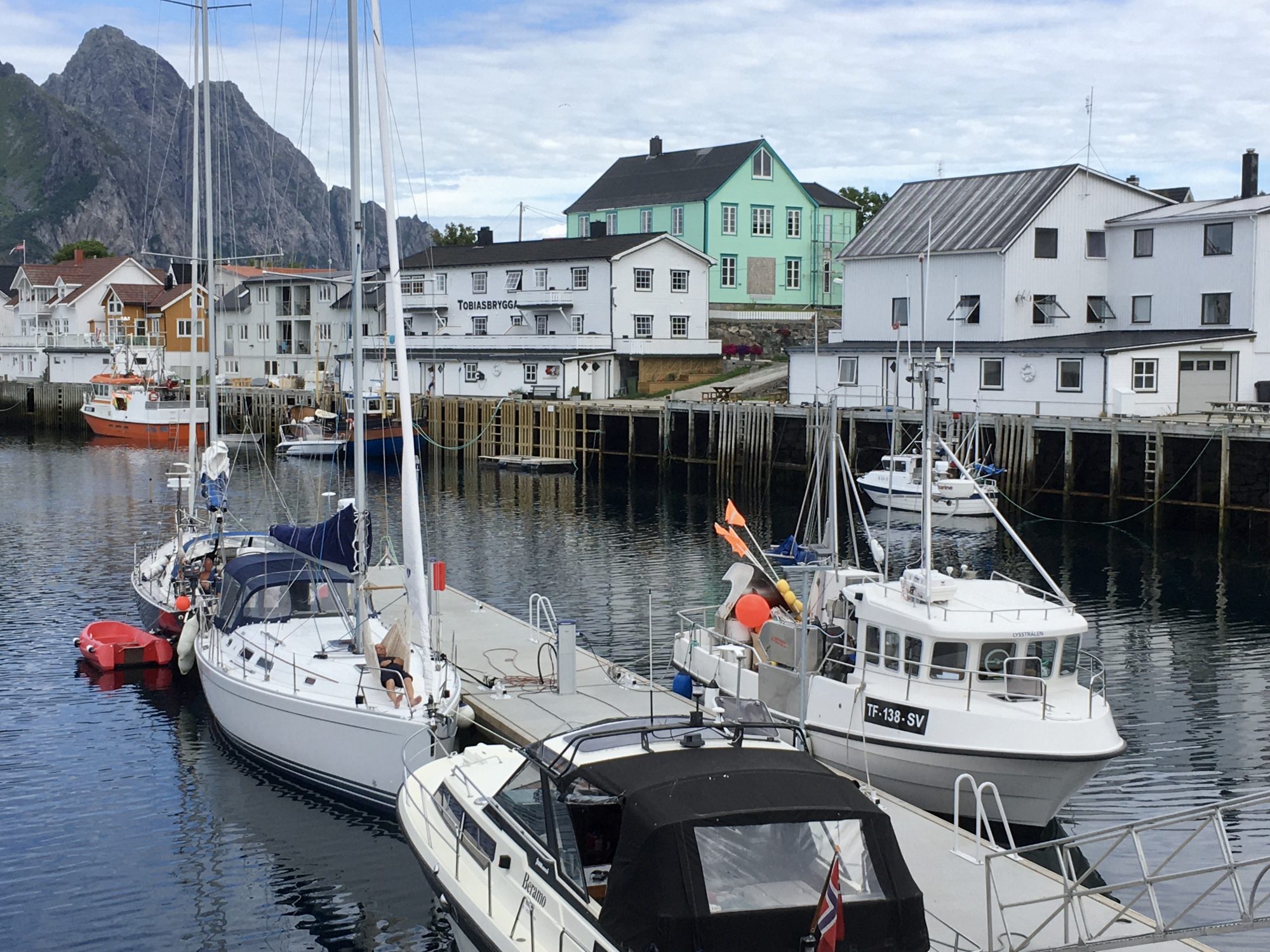
Norway by Motorhome: Henningsvaer


Henningsvaer, one of the bigger fishing villages in Lofoten
Henningsvaer is a centuries old, living fishing village with a big sheltered harbor. The village is scattered along many small islets and linked to the rest of the world by a narrow road with many long bridges.
The local population rises to 500 and they mainly live on fishing, getting some extra income on the summer tourism.

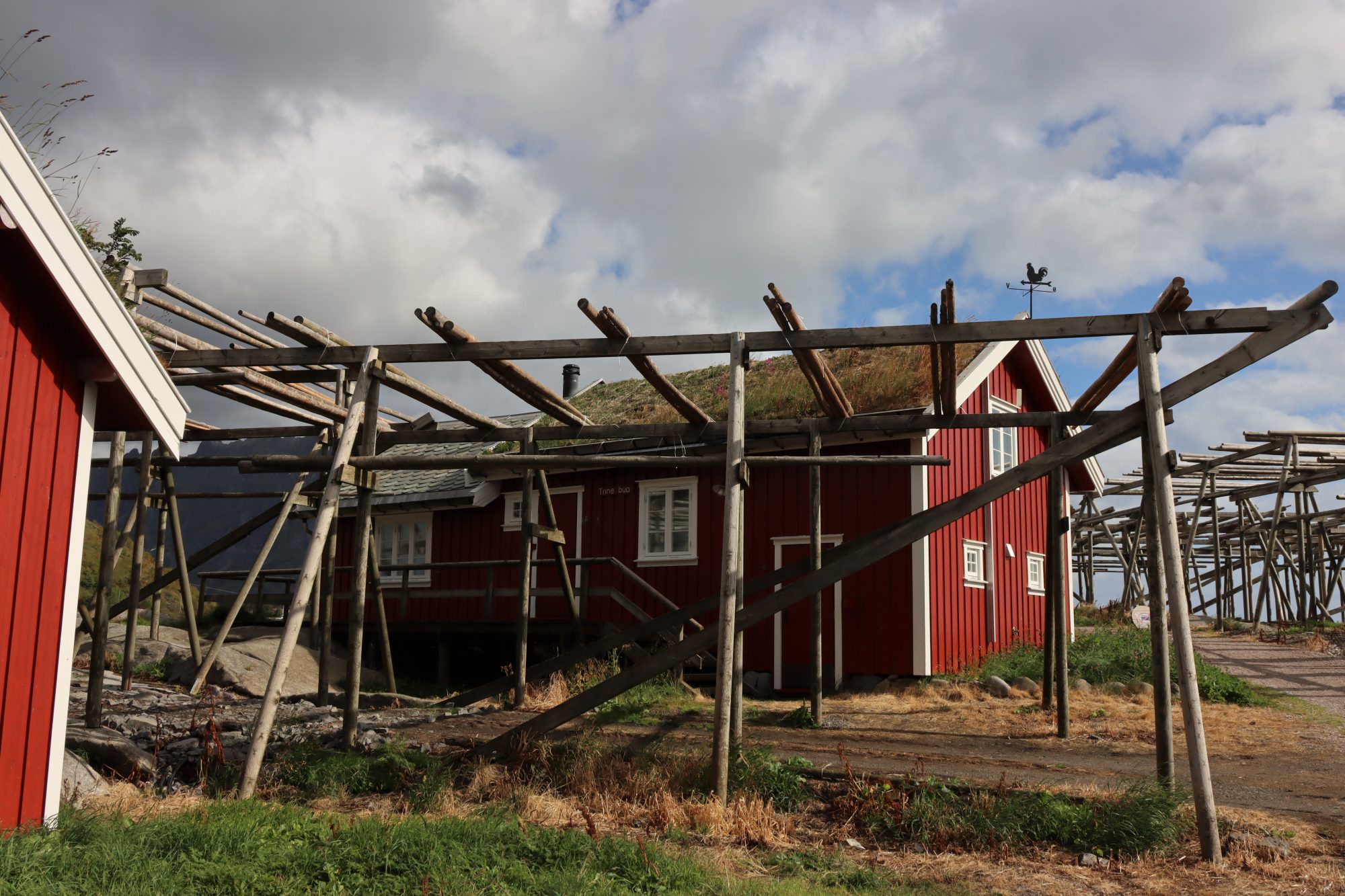
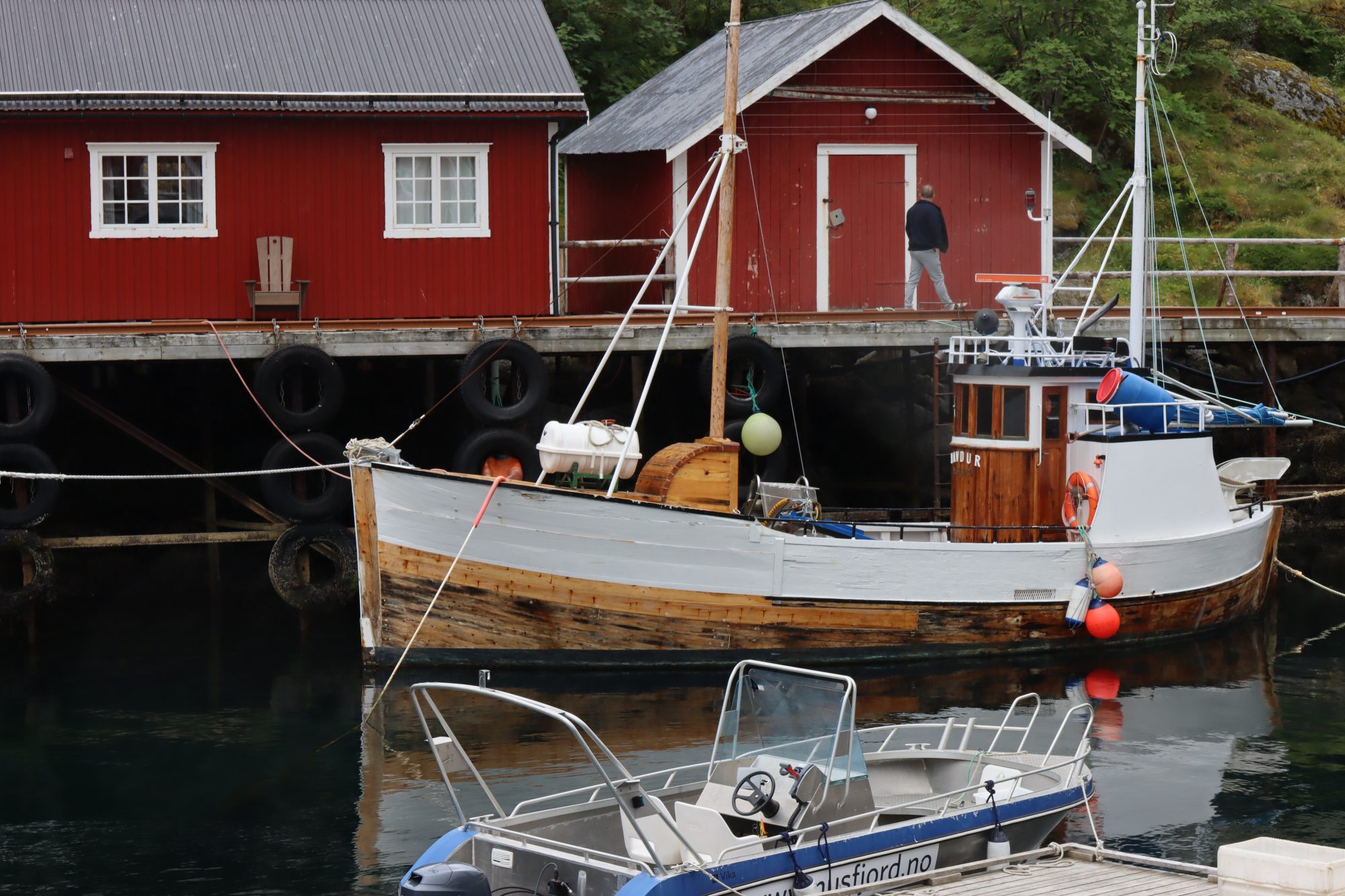
Drying cod against a house wall
Henningsvaer fishermen fish cod and leave it to dry on wooden racks by the harbor. But that’s not the only place where they hang their catch. Even in the village you can see cod hanging on balconies and walls.
Old warehouses, fish factories, a maze of small houses with neat gardens and rows of red fishing cabins built above the sea. This little fishing village is easy to fall in love with.
Henningsvaer in photos:
Henningsvaer, Lofoten
As a summer tourist center Henningsvaer has excellent fish restaurants that we would have liked to try. No, instead we had a picnic on the cliffs looking at the mighty Lofoten mountains, one of them Mount Vågakallen, 942 m. Below it the lower Heia right above Henningsvaer, with superb views down to the village. Read about the Heia hike in this post: Five Short Lofoten Hikes for Great Mountain Top Views

Having a picnic
Then about the road to Henningsvaer, it’s a sight in itself. As there was no free space anywhere to pull over and stop, all photos are taken from a moving car:


The scenic drive to Henningsvaer through the Lofoten coastline
That was the middle islands and now the north. It’s been so beautiful so far but maybe the north is the best part? Hard to decide.
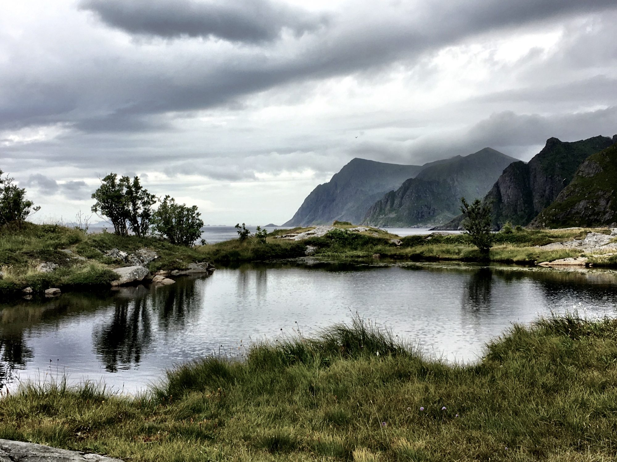
Lofoten: the North

Traveling Norway by motorhome: the green island chain of Lofoten
The northern part of Lofoten has less fishing villages and farms. Instead there are green fells and deep fjords.
The north part’s landscape is exceptional, it’s like a painting. Turn off from the main road and on Augustvågoya back roads you will find this kind of secrets:


Hidden gems on the side road
When desperately looking for a place to stay overnight we landed on the side road Fiskebøl – Grunnfør – Straumnes. We found a place to camp – and a lot of beauty.
Pictures from the roadside in the northern part of Lofoten:
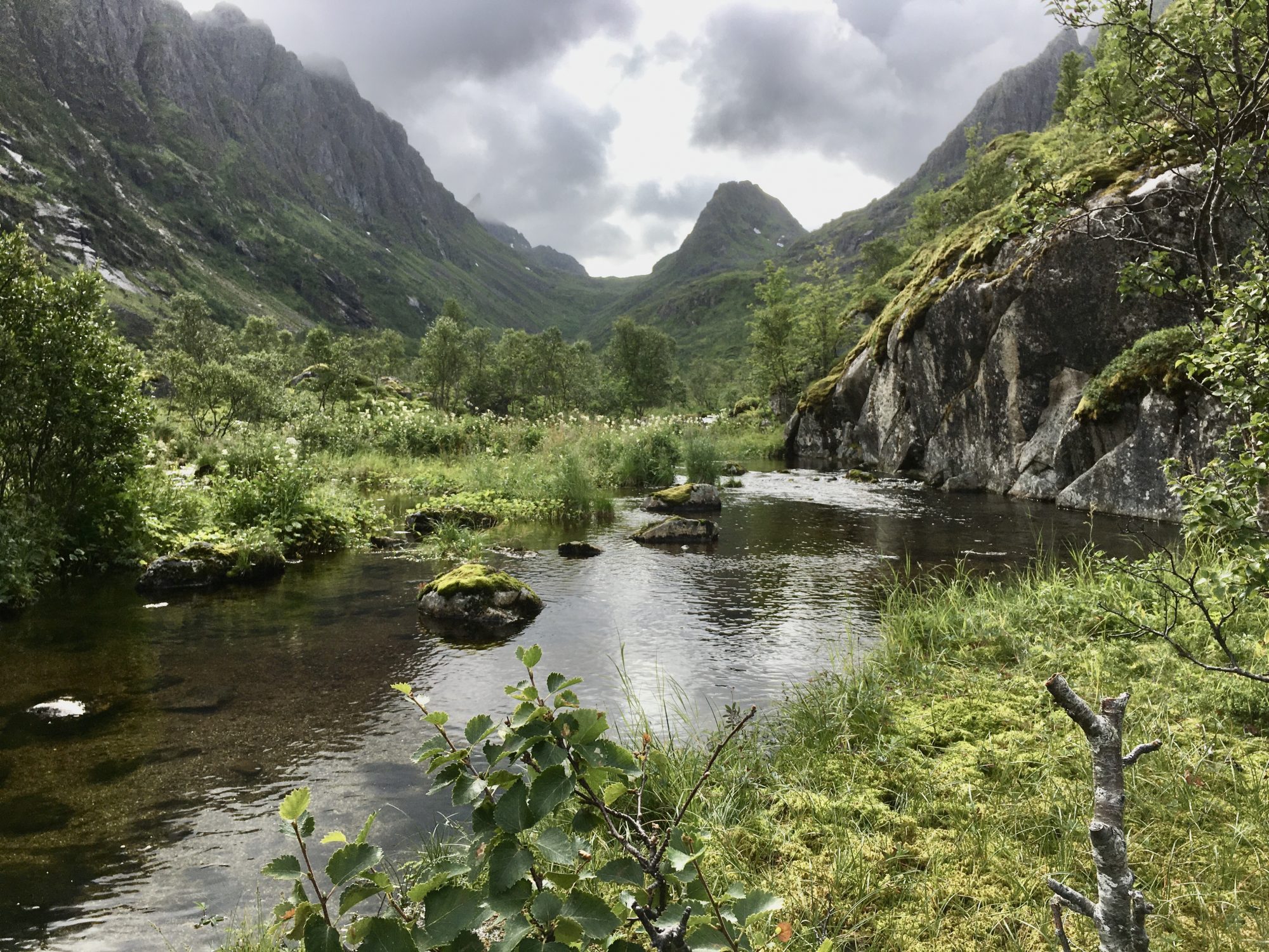
Augustvågøya, Lofoten
If you like the outdoors, Augustvågoya has many great hikes. Read about the hike to Tjeldbergtinden: Five Short Lofoten Hikes for Great Mountain Top Views
So that was Lofoten. An island chain that you can easily reach by the good Norwegian E10 road that, however, gets narrower once you are in the islands.
Driving in Lofoten with a motorhome is good but you need to be extra careful. You will meet buses, trucks and other motorhomes, and they come with speed. So drive slowly!
The drive all the way through the Lofoten Islands will take a good three hours without any stops. But don’t just drive though, stop, make side trips and hike, Lofoten is a good hiking destination. The more you stop, the more you will see.
Read about our second trip to Lofoten, a hiking trip to Lofoten mountain tops: Five Short Lofoten Hikes for Great Mountain Top Views
More about the Lofoten Islands of the Visit Norway website and the official Lofoten website.
From Lofoten our journey went on to the next island chain in the north, the Vesterålen Islands.
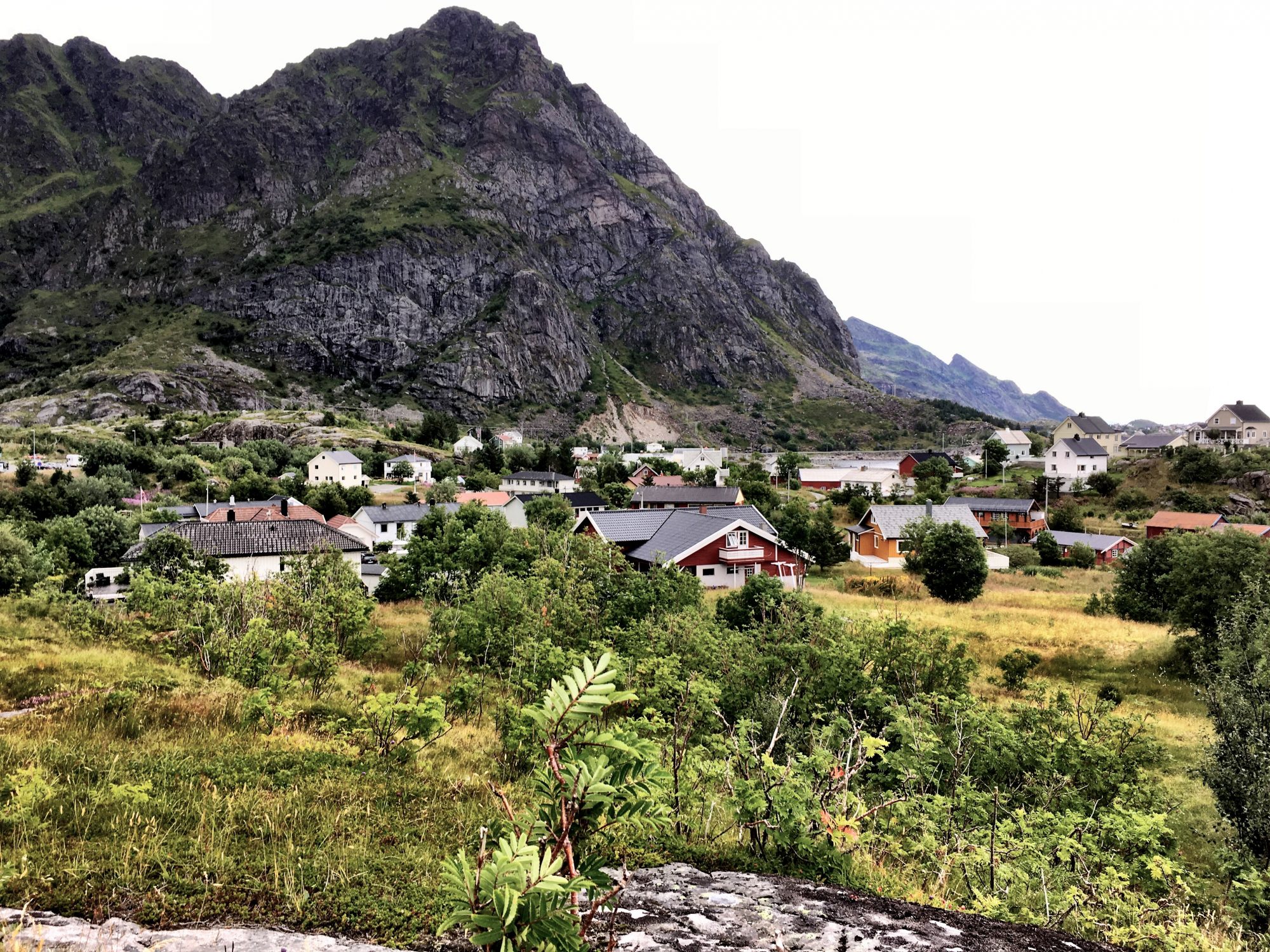
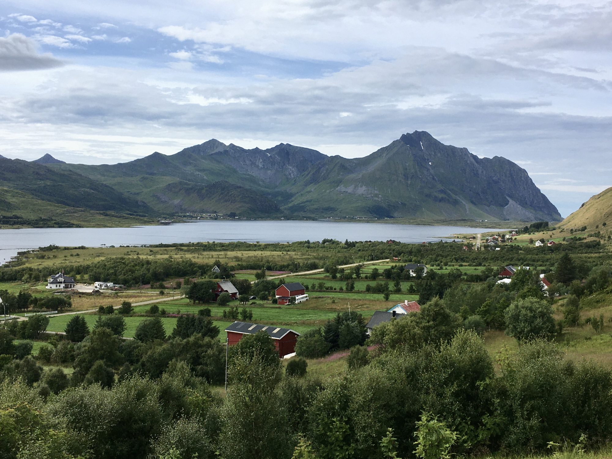
Vesterålen

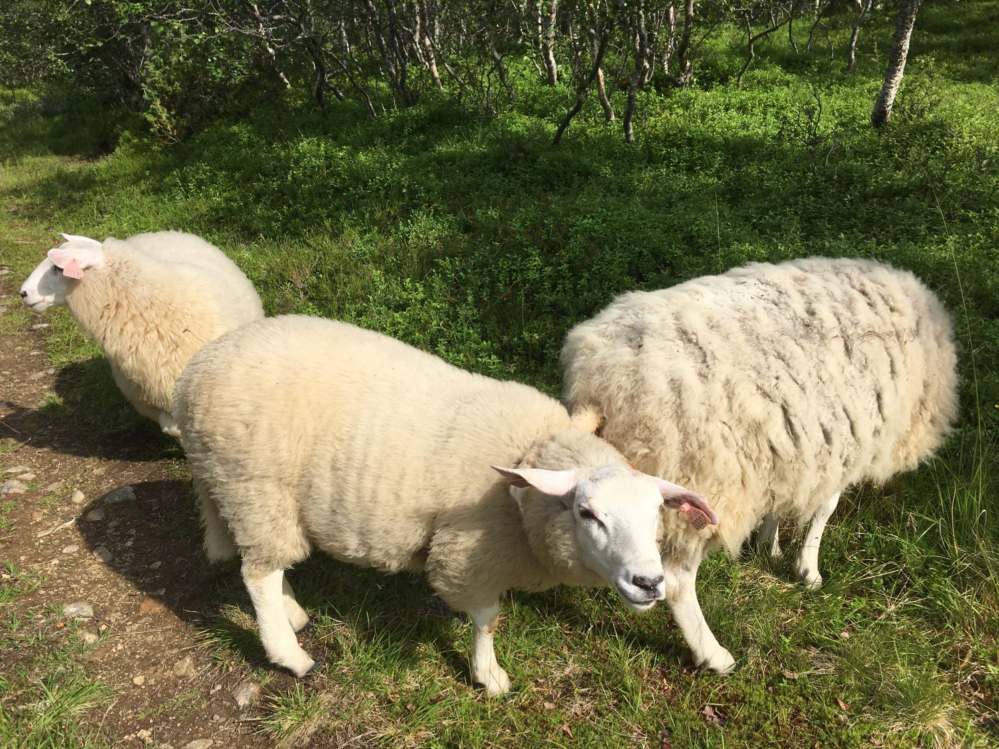
Norway by motorhome: Hiking with sheep in Vesterålen
Vesterålen is a coastal region between Lofoten and Senja, far less known than its neighbors.
From Lofoten the easiest access is via the good, rapid E10 road, turning off at Gullefjord. The other option is the Fiskebøl – Melbu ferry. That cuts the distance but means waiting times. Check out Melbu-Fiskebøl ferry timetable and prices here.
What are the Vesterålen Islands?
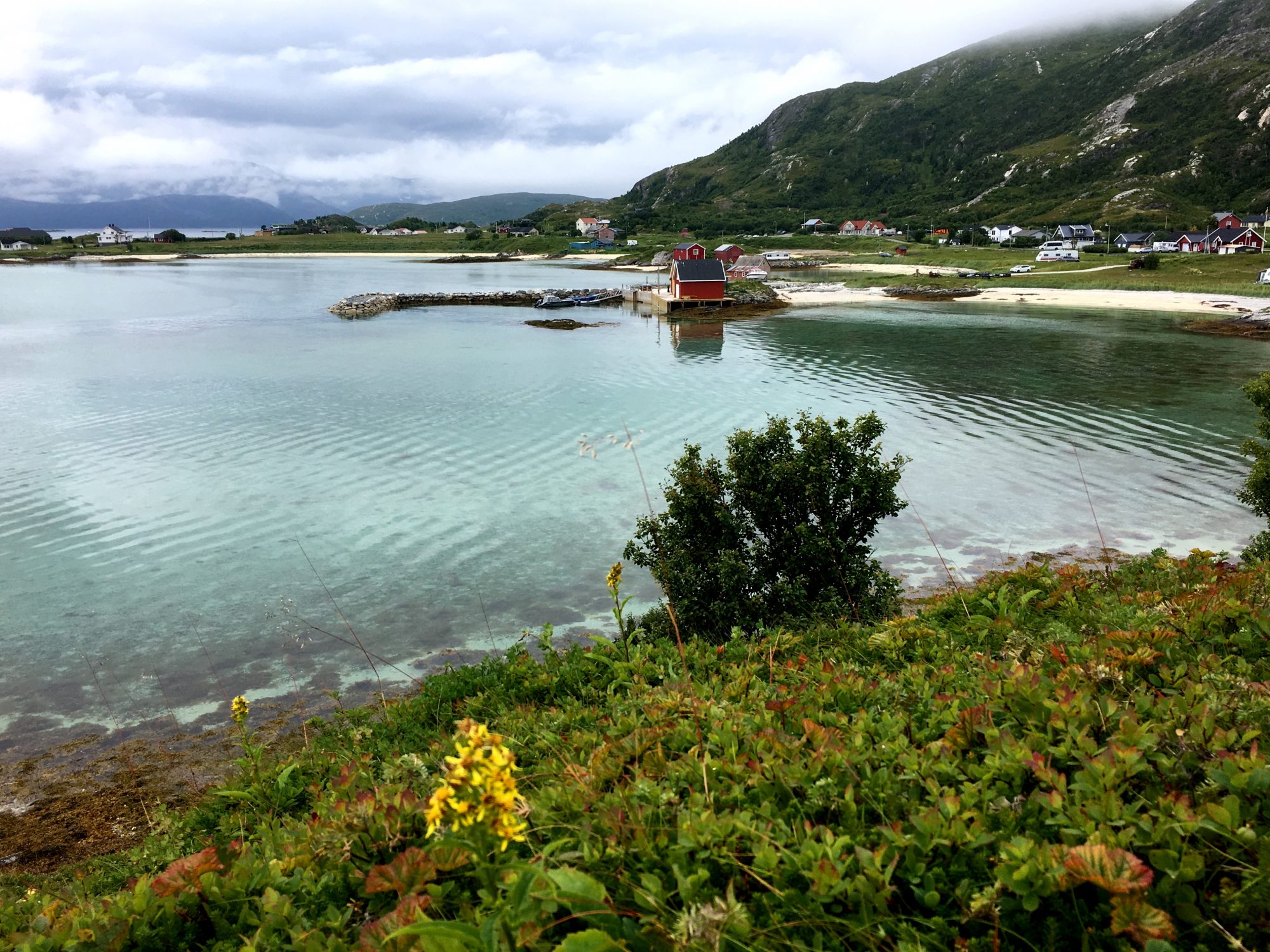
Vesterålen consists of four main islands plus a large number of small islets. The four big Vesterålen islands are Andøya, Hadseløya, Langøya and Hinnøya.
Andøya is located in the outer skerries in the north. It’s a long and narrow island and pretty flat. Langøya and Hadseløya are in the west and also a part of the outer skerries. The outer Vesterålen islands are an extension of Lofoten, located right north of it. Yet they belong to another region.
Then, Hinnøya is the biggest island closer connected to the Norwegian mainland. The region’s capital Harstad is here, while the main towns of the other islands are Sortland, Andenes and Stokmarknes.
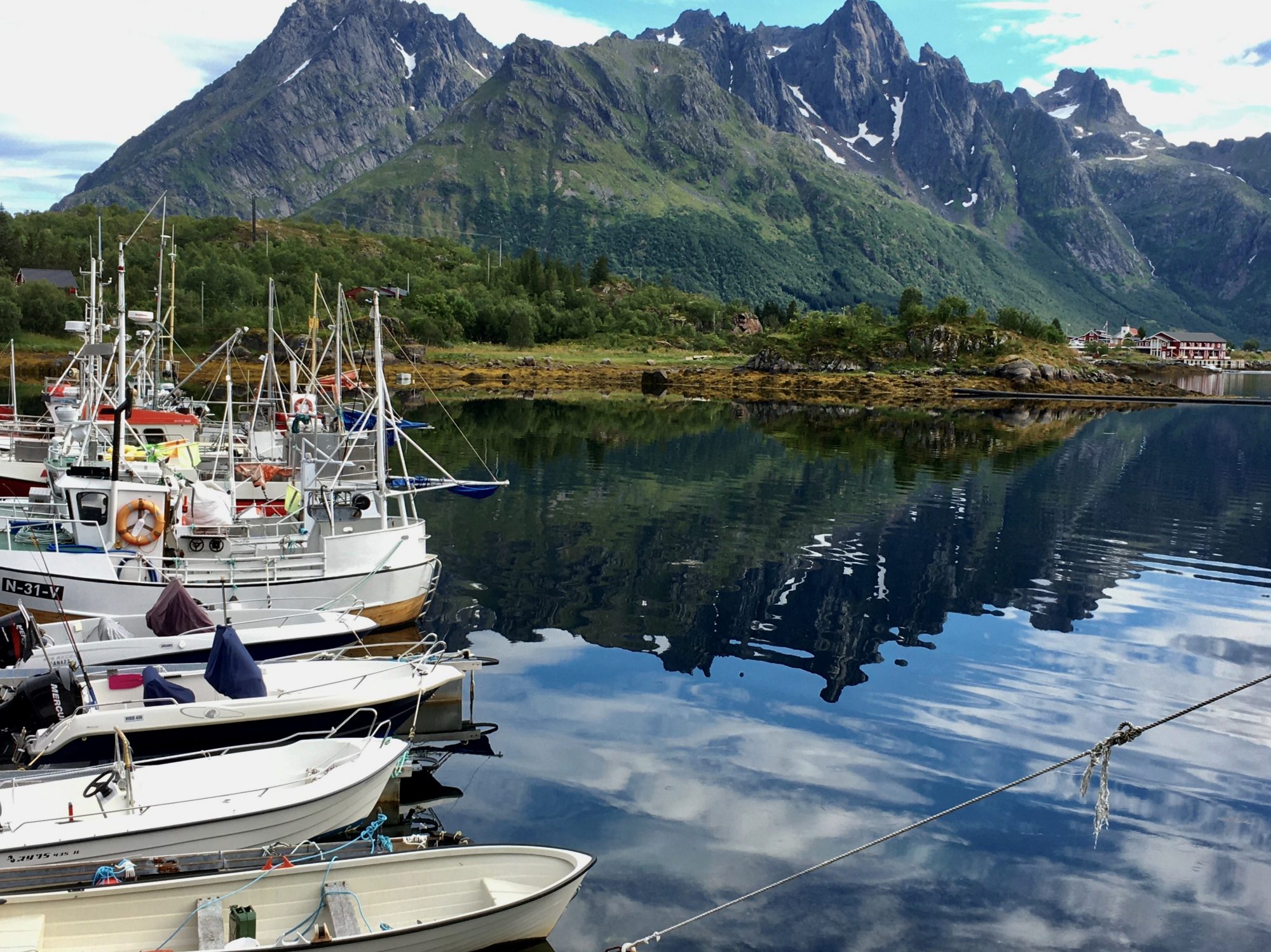
Views of the Vesterålen Islands:

The Vesterålen Islands of Norway
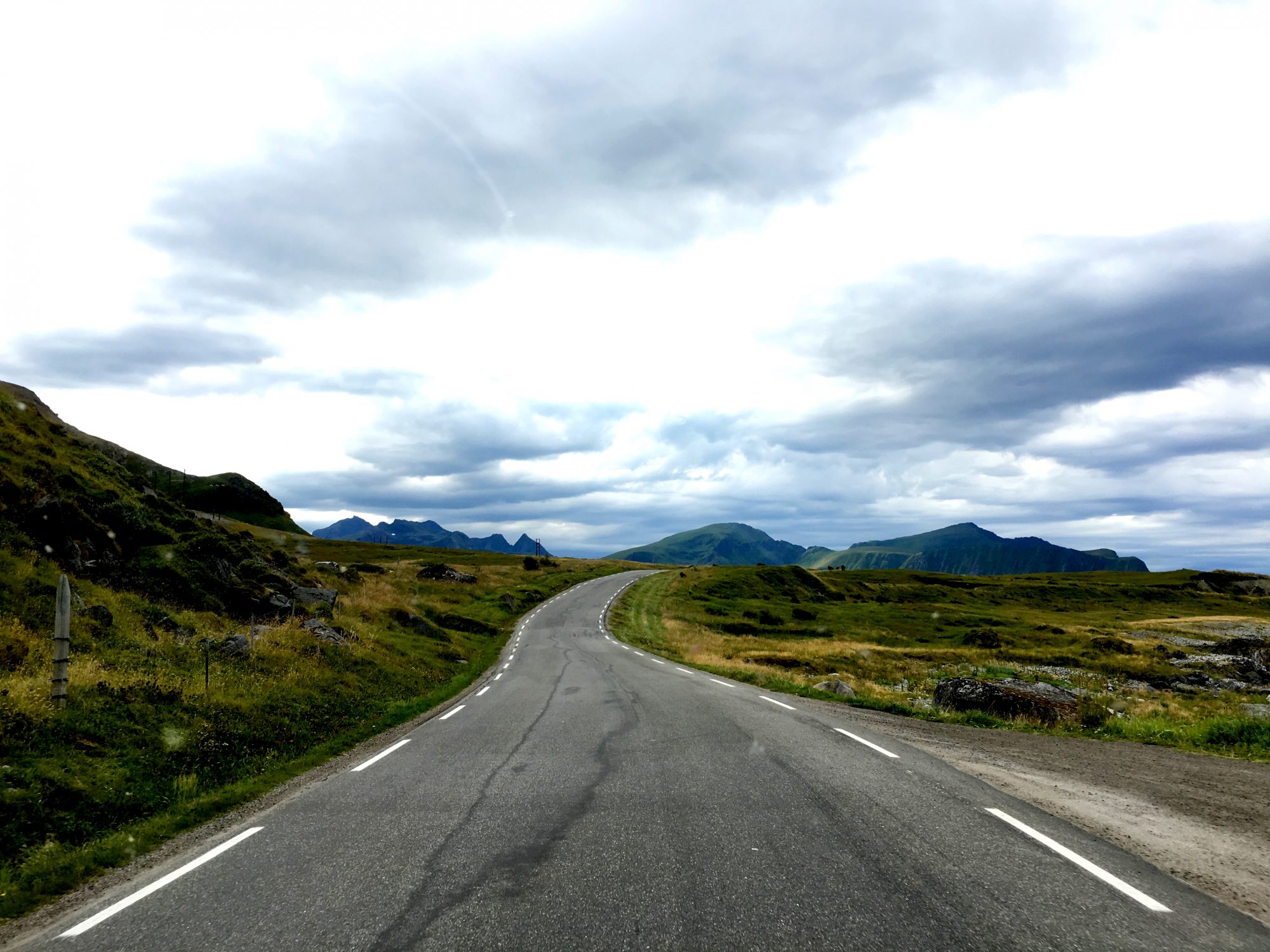
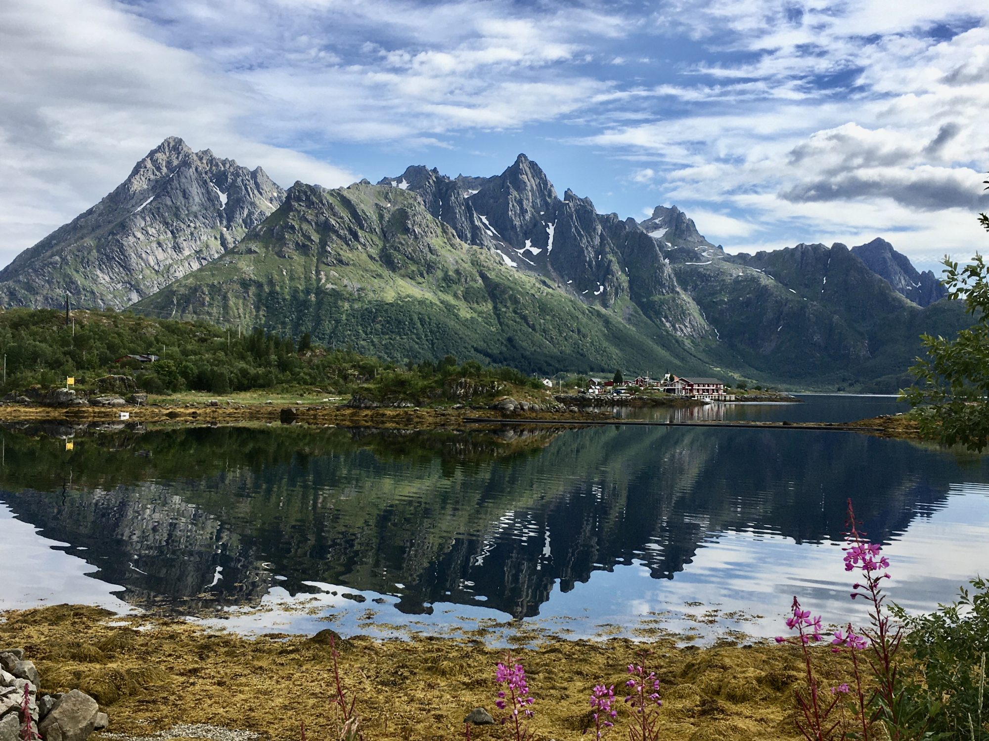
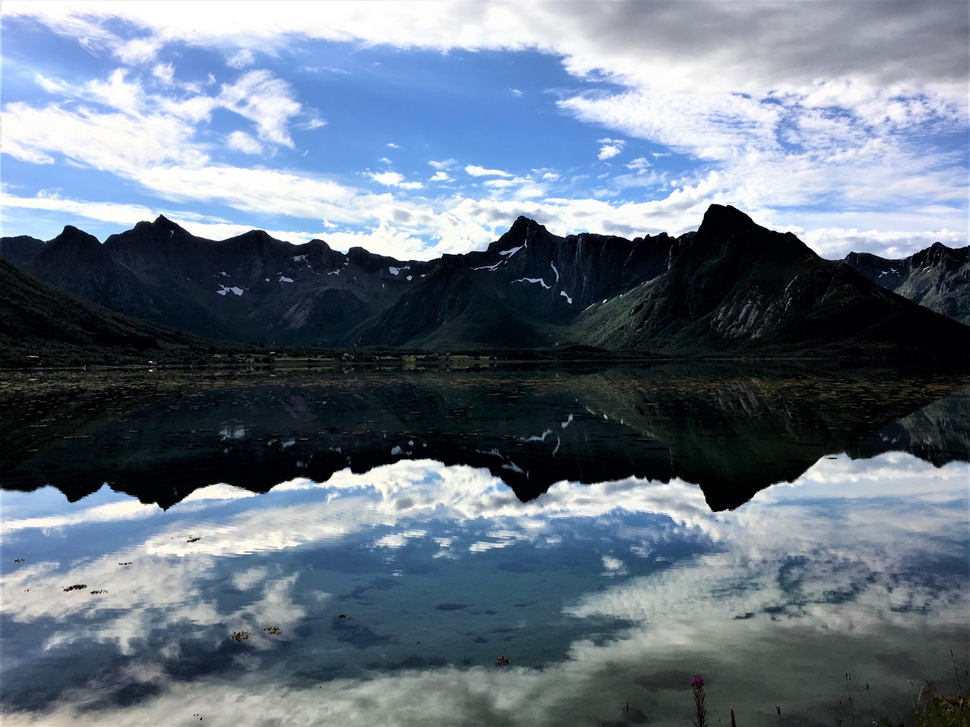
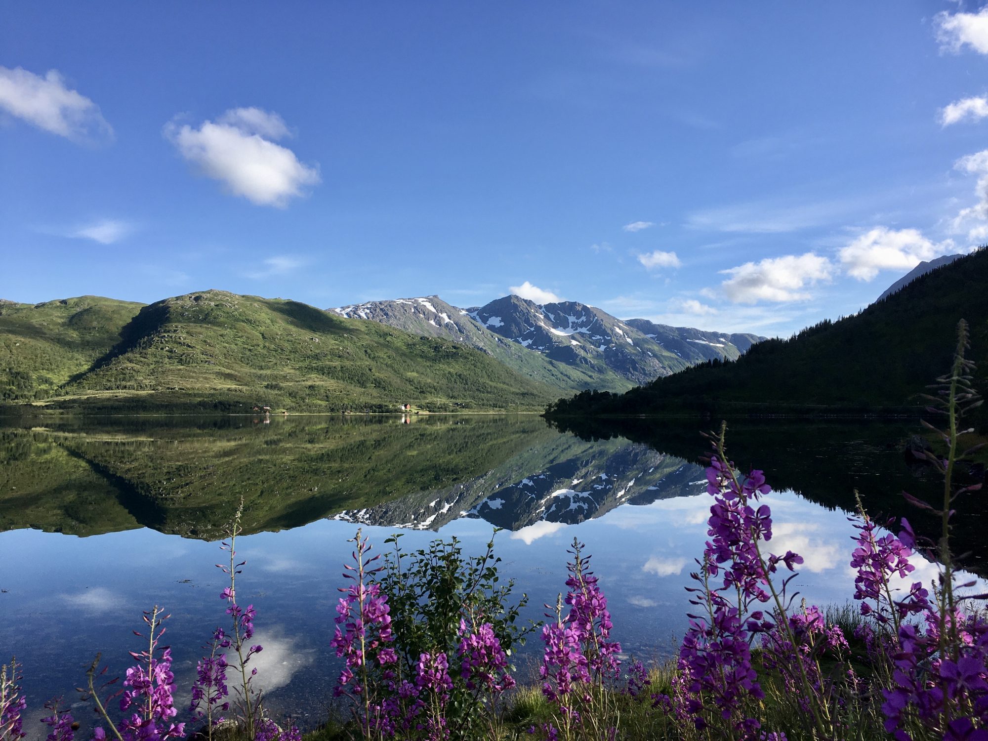
Vesterålen’s pure green scenery, green fells, calm fjords and endless farmlands made us feel good. It looks a bit like Lofoten, but is not the same.
Above all Vesterålen is much less touristic. Wherever we went, we were almost alone. There was more open space in front of us and wider views than on the super steep slopes of Lofoten. Also the roads here were a lot wider which made driving a motorhome more relaxed.
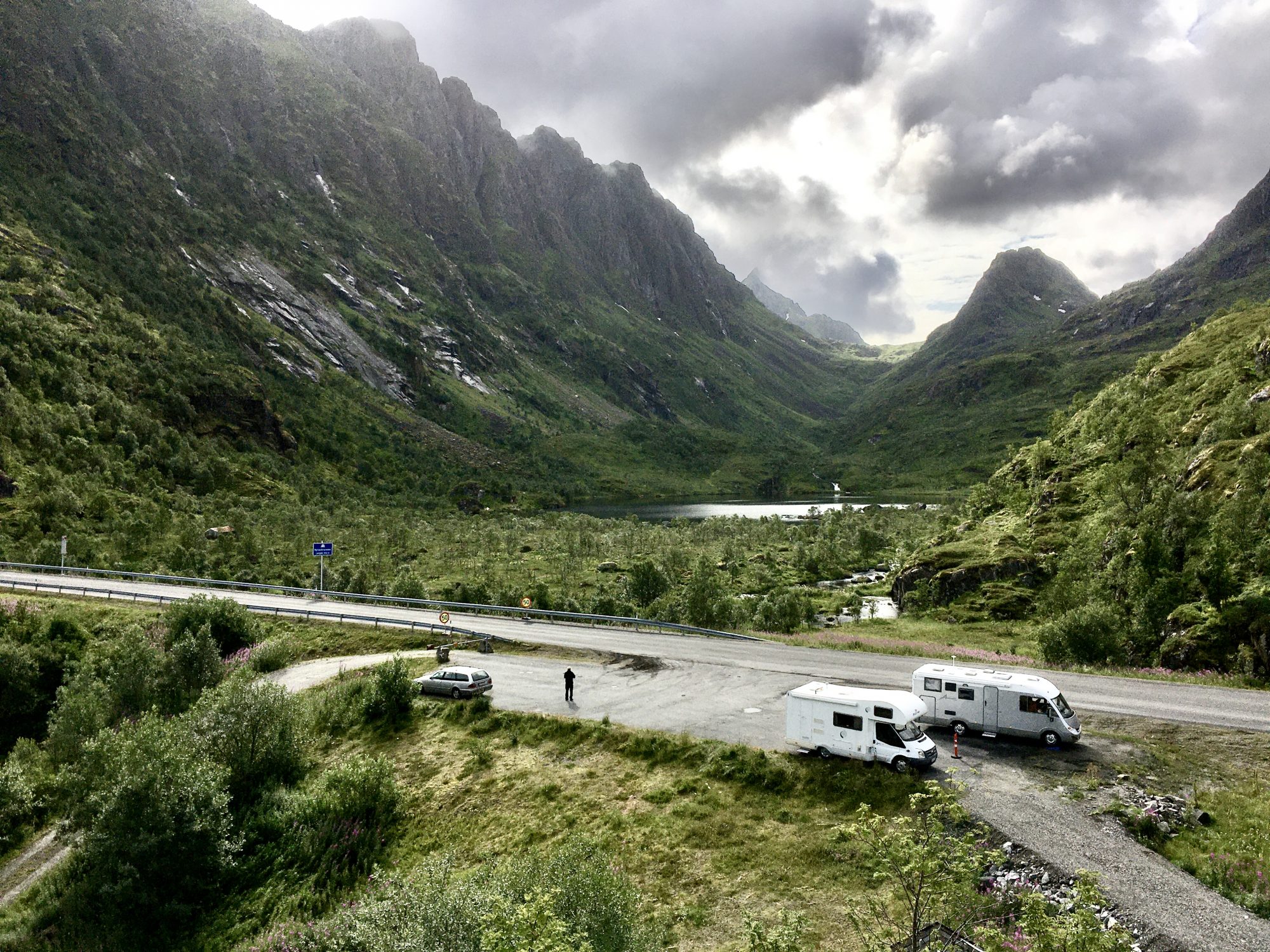
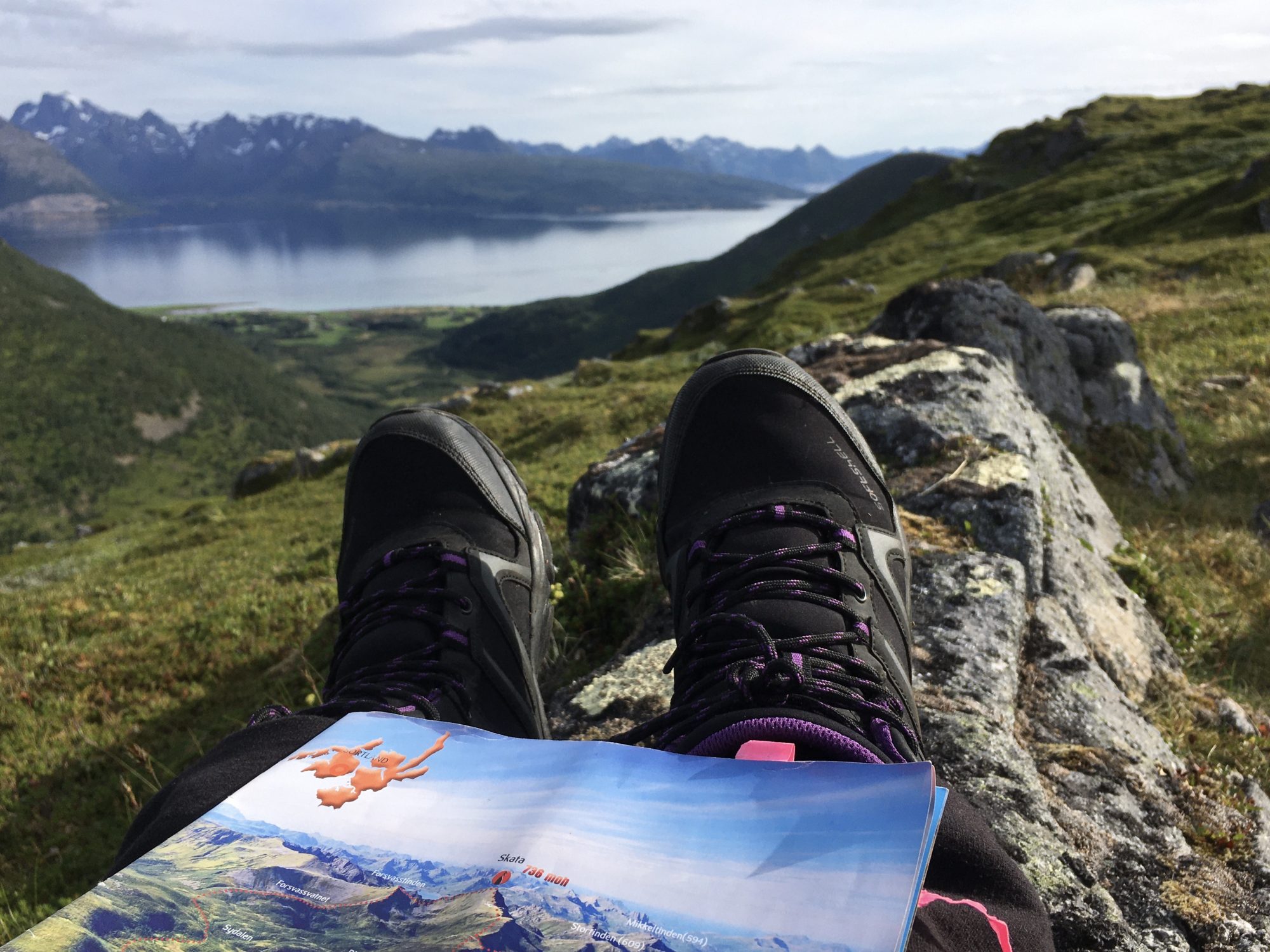
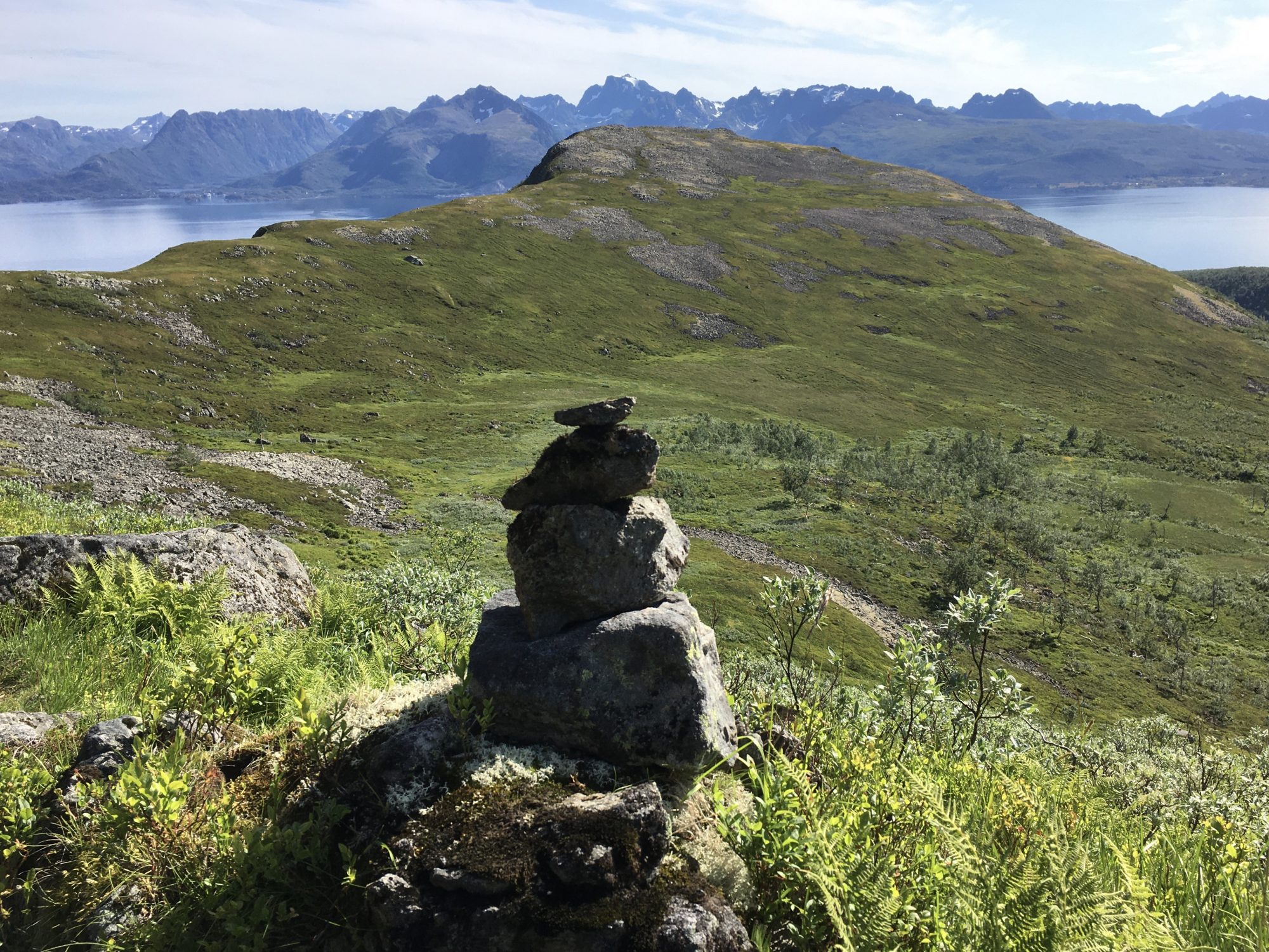
On Langøya we hiked with sheep. Following their winding paths we landed into the postcard scenery of the two green fells Rishatten and Lemtinden. And got badly lost, spending hours and hours trying to find our way back from the fells. We lost the path.
On Andøya we followed the Norwegian Scenic Route Andøya that has modern art constructions on the roadside. Then, Vesterålen has a national park that we of course had to see:
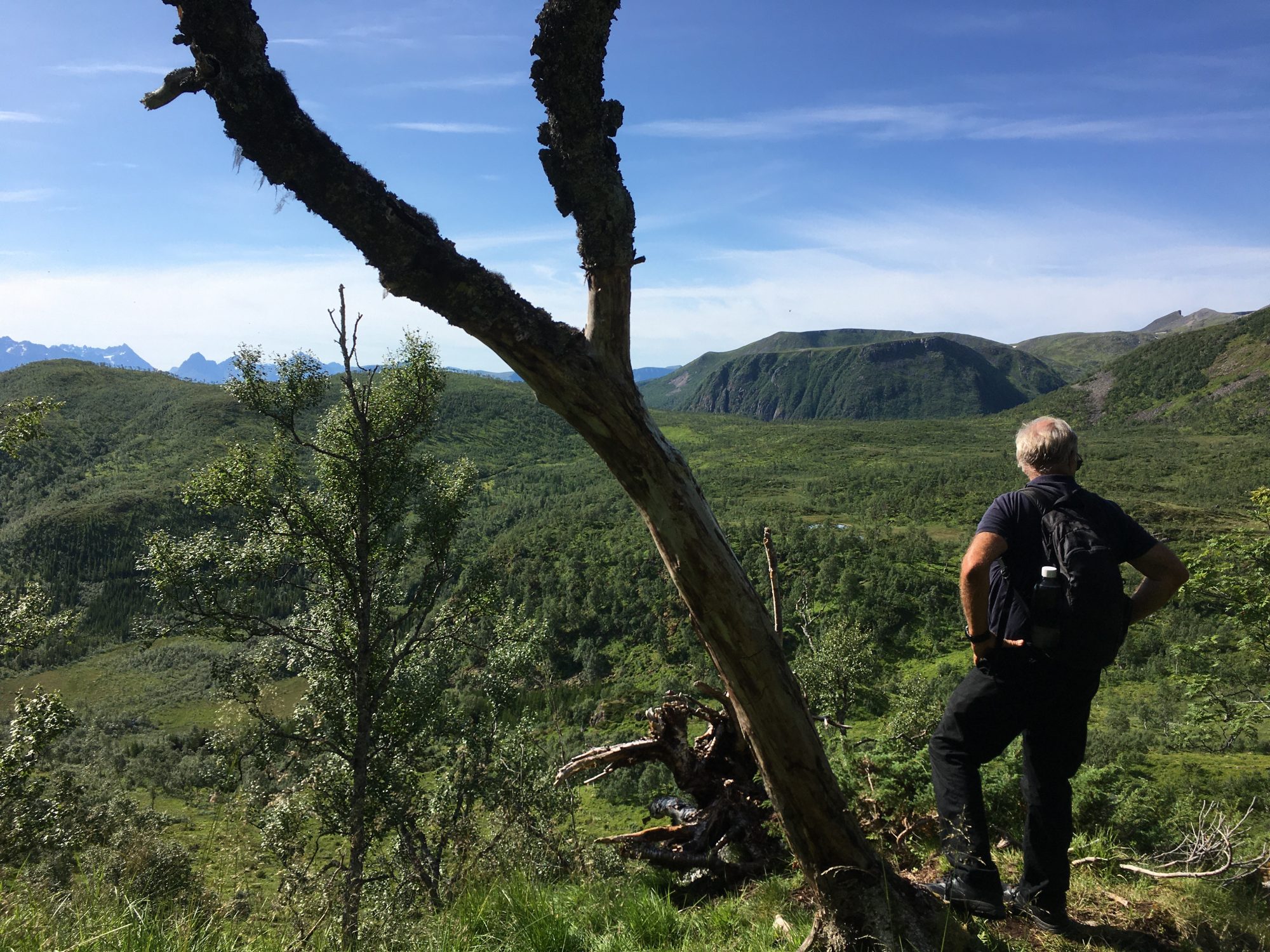
Møysalen National Park

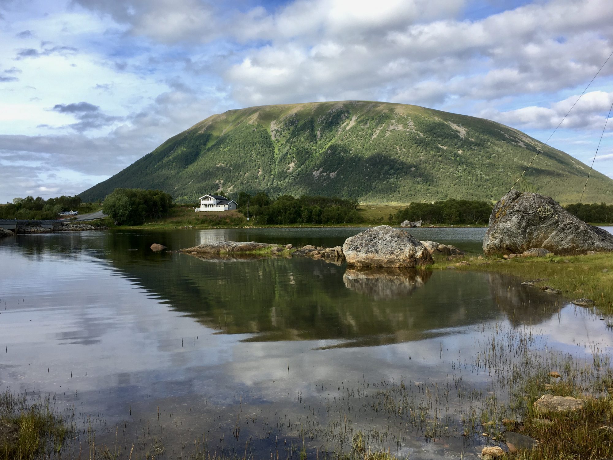
Møysalen mountains seen from the national park visitor center
Mighty and snow-capped, over 1000 m in height, the Moysalen mountains rise straight from the Arctic Ocean. The highest of them is Mountain Møysalen, 1263 m and gave the national park its name.
As all trails start at sea level there’s a bit to climb. Yet at the time we were there it was not allowed to climb any higher without a group tour. As these groups only started at certain times and not even daily, the only thing we could do was to take a short hike lower down but we were happy with that.
Møysalen is not very touristic. It was hard to get any information on trails – until the local shopkeeper gave us a simple hand-written paper where they had marked the trails.
For more information on Møysalen National Park check out the Visit Norway website.
Ferry to Senja
To continue the journey from the Vesterålen Islands there’s a summer-only ferry to the next island Senja, the Andenes-Gryllefjord ferry. At other times of the year you will have to drive round a number of fjords. More information on Vesterålen ferries on the Visit Vesterålen website.
So we left Vesterålen and came to Senja:
Norway by Motorhome: Senja

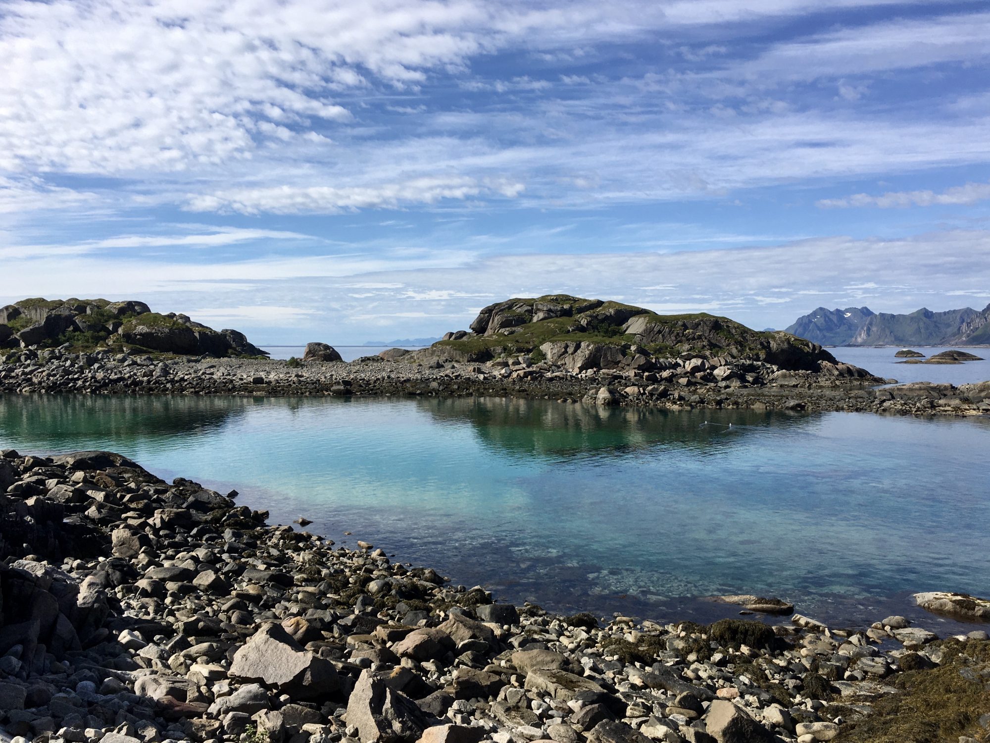
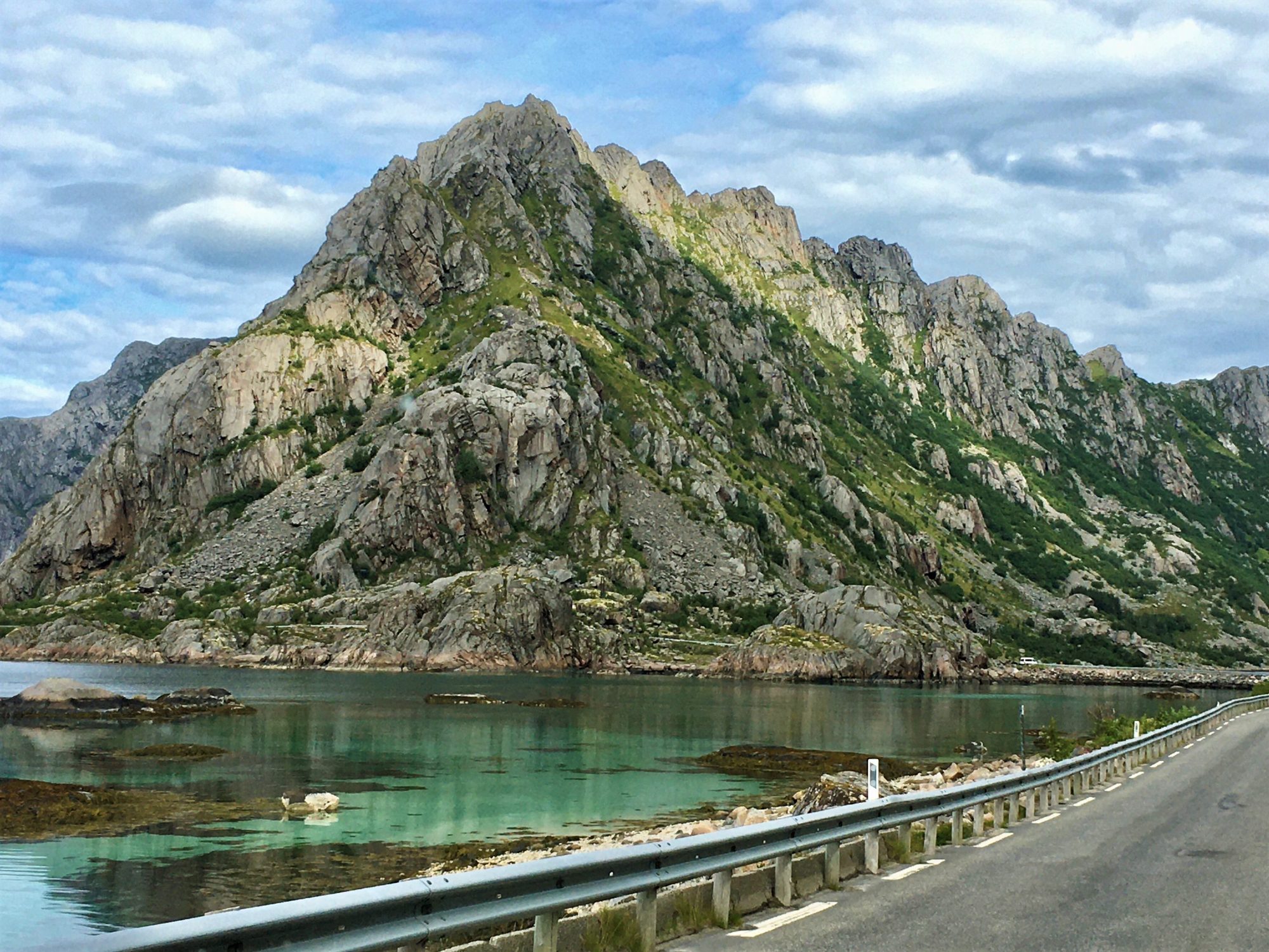
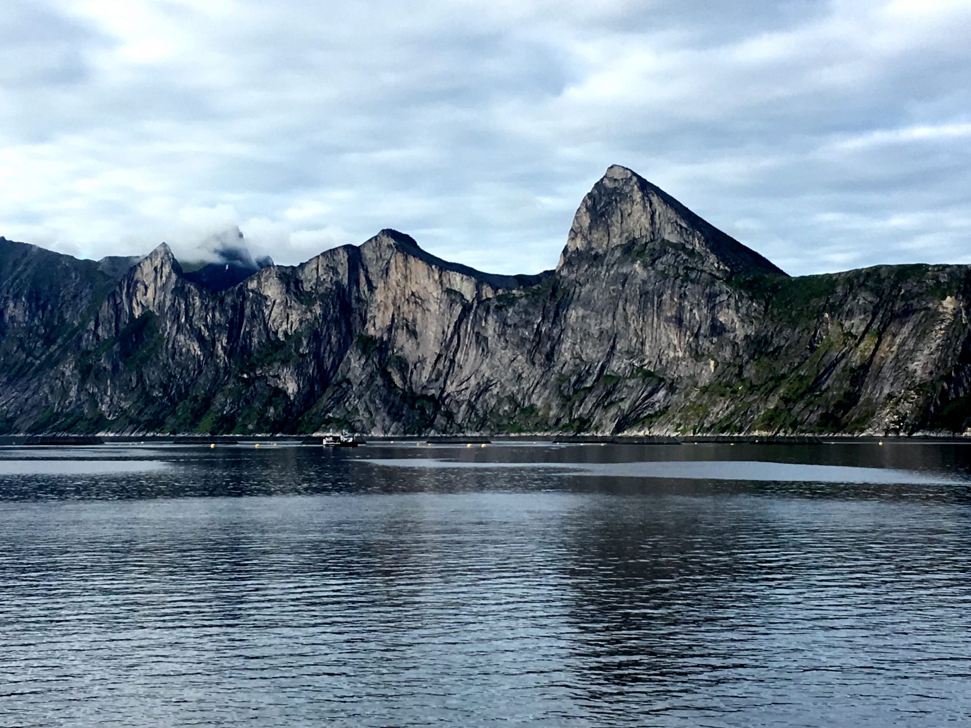
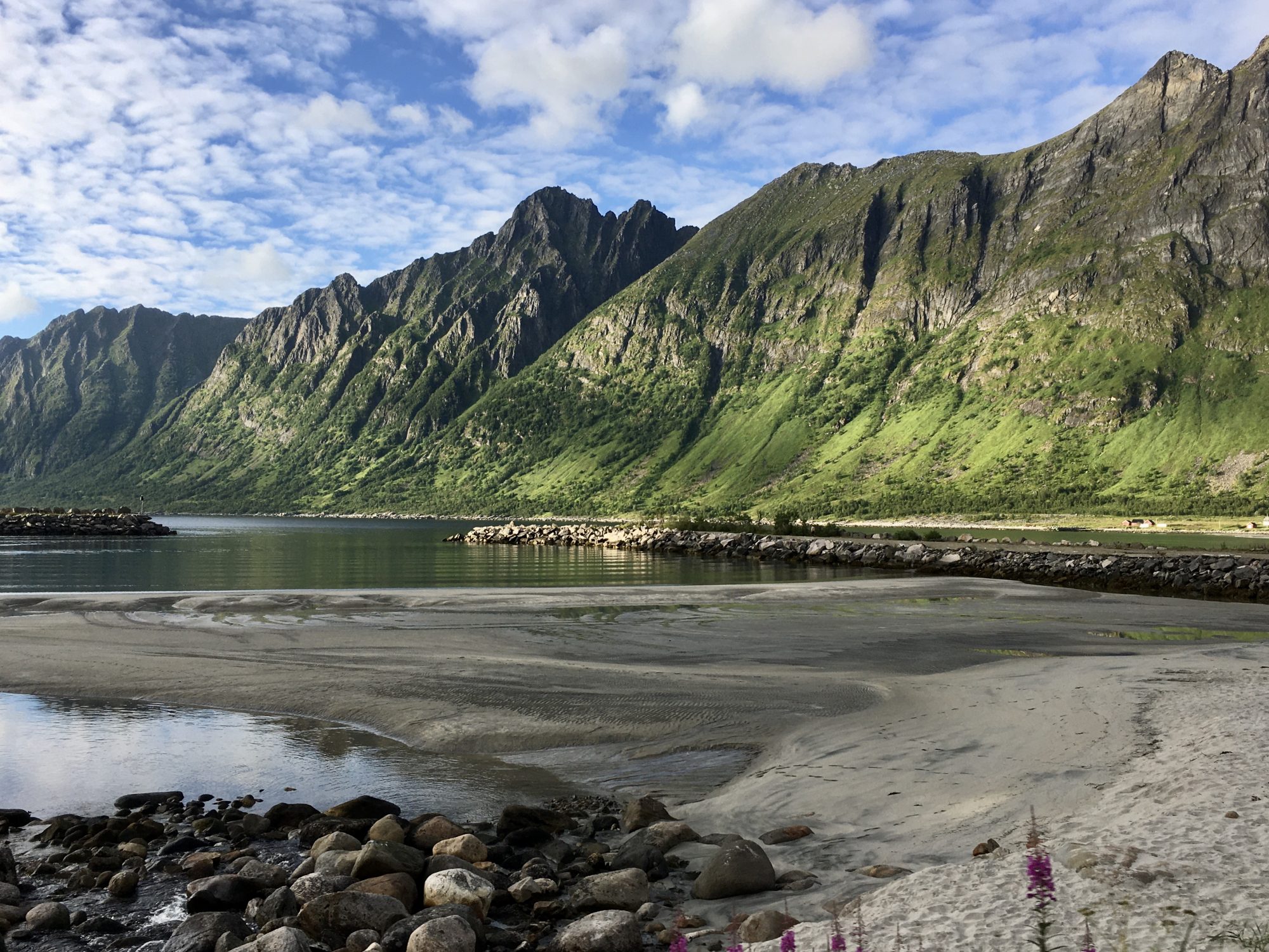
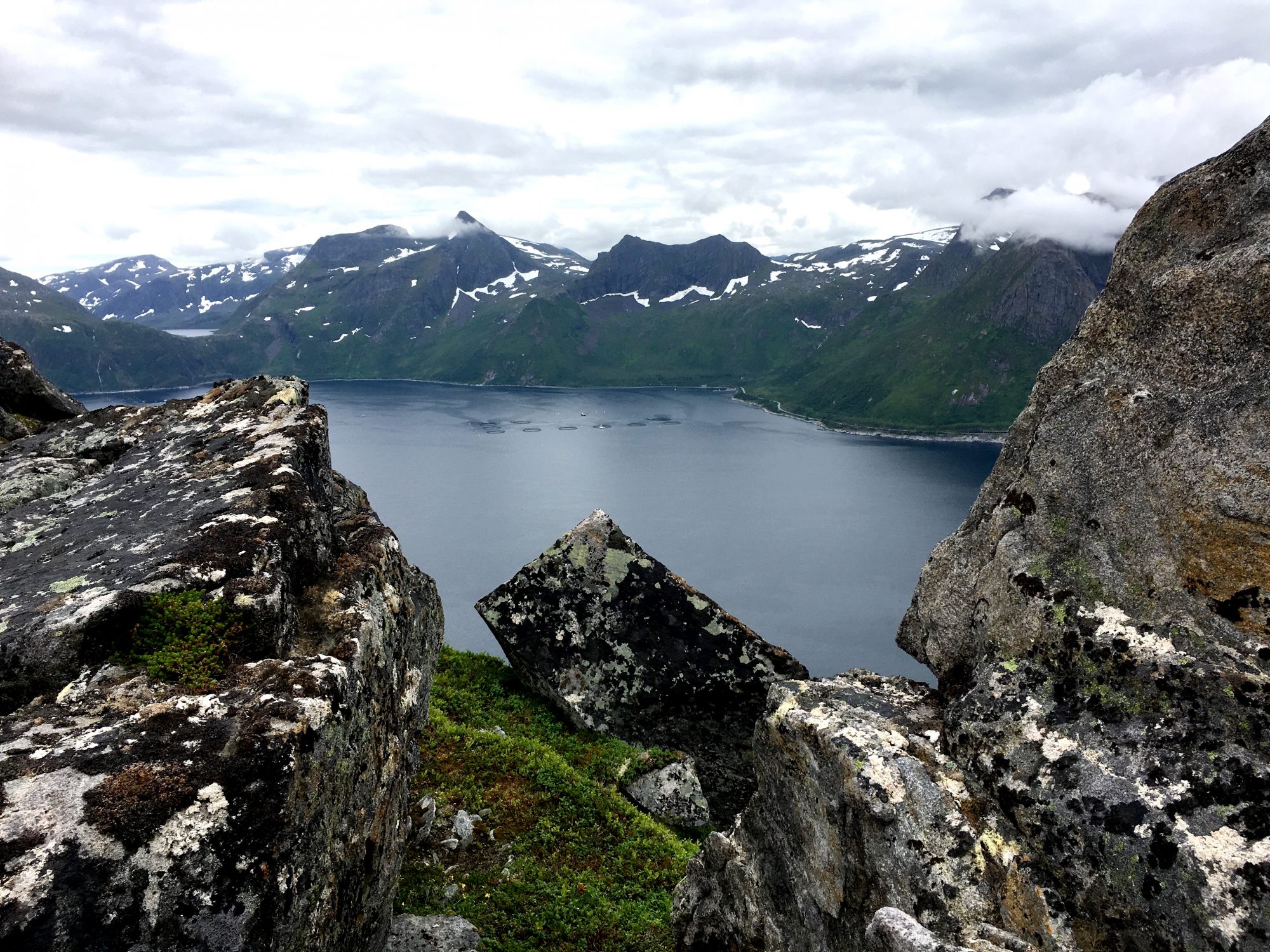
The scenic island of Senja
Senja is Norway’s second biggest island and a prototype of a Norwegian fairytale. On the map Senja looks like a giant’s hand with fingers trying to get a grip on the arctic waters. Or maybe it’s a troll’s hand?
The fairy-tale Senja has so many shades of green on the sharp mountain sides rising straight from the ocean. A whole palette of green and grey mirrors from the calm sea. But that’s only the west side of the island, the one that faces the ocean.
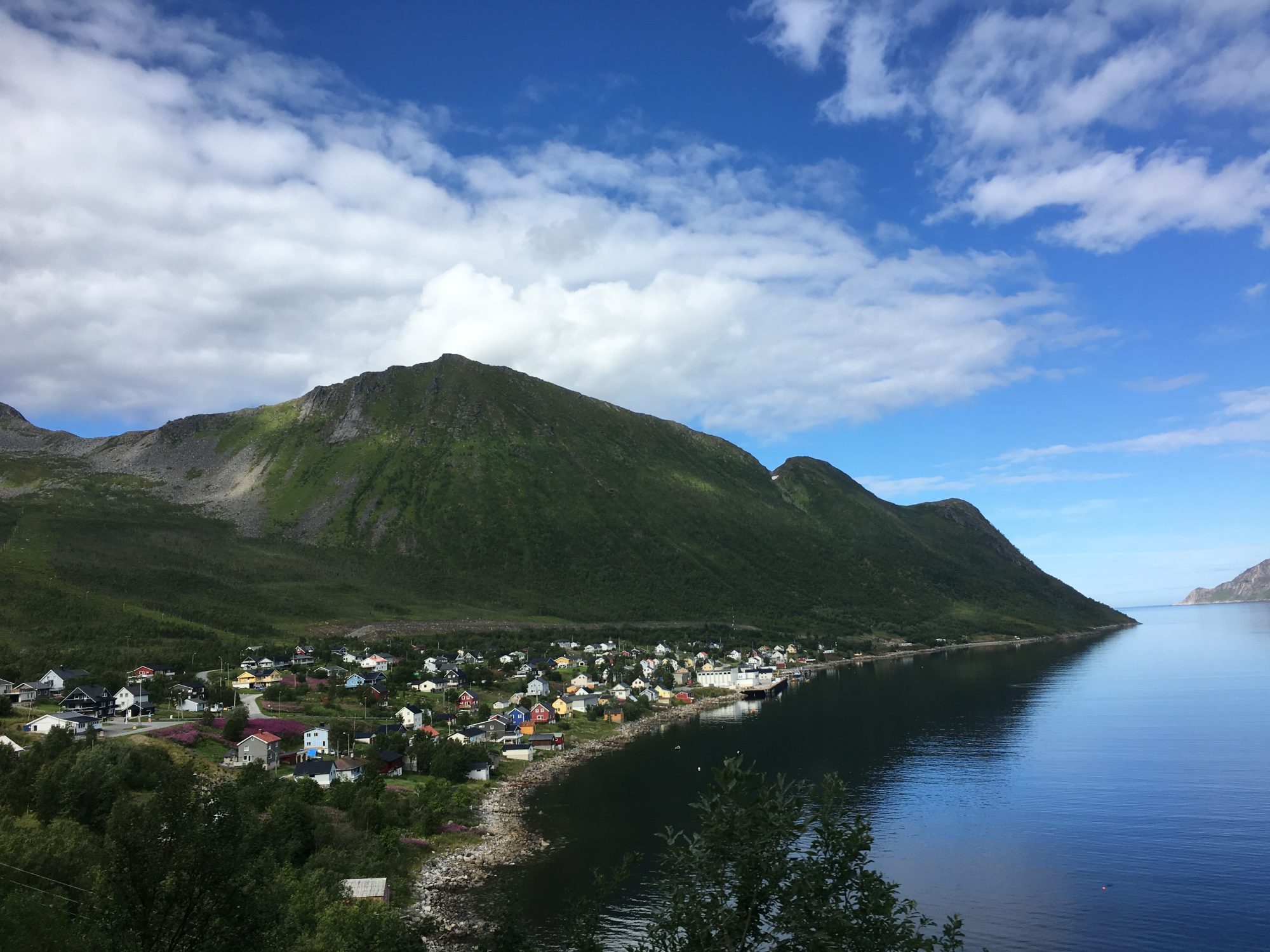
The other side of Senja is green as well. It’s farming land, gentle slopes and villages. It’s where most of Senja’s inhabitants live. Only fishermen with their families are brave enough to live on the exposed, windy outer coast. They live in the tiny communities in the only lowland areas between the sharp mountains.
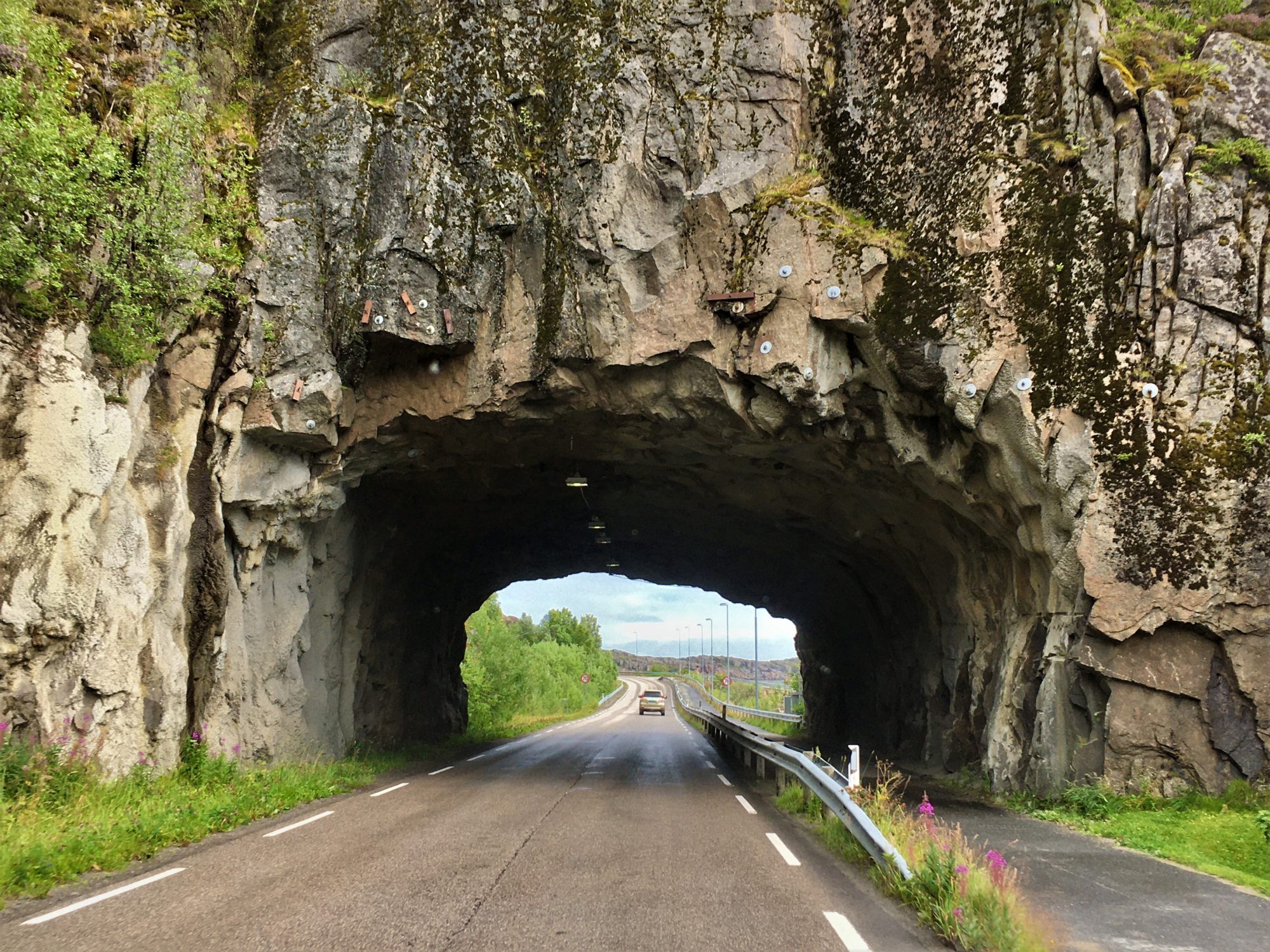
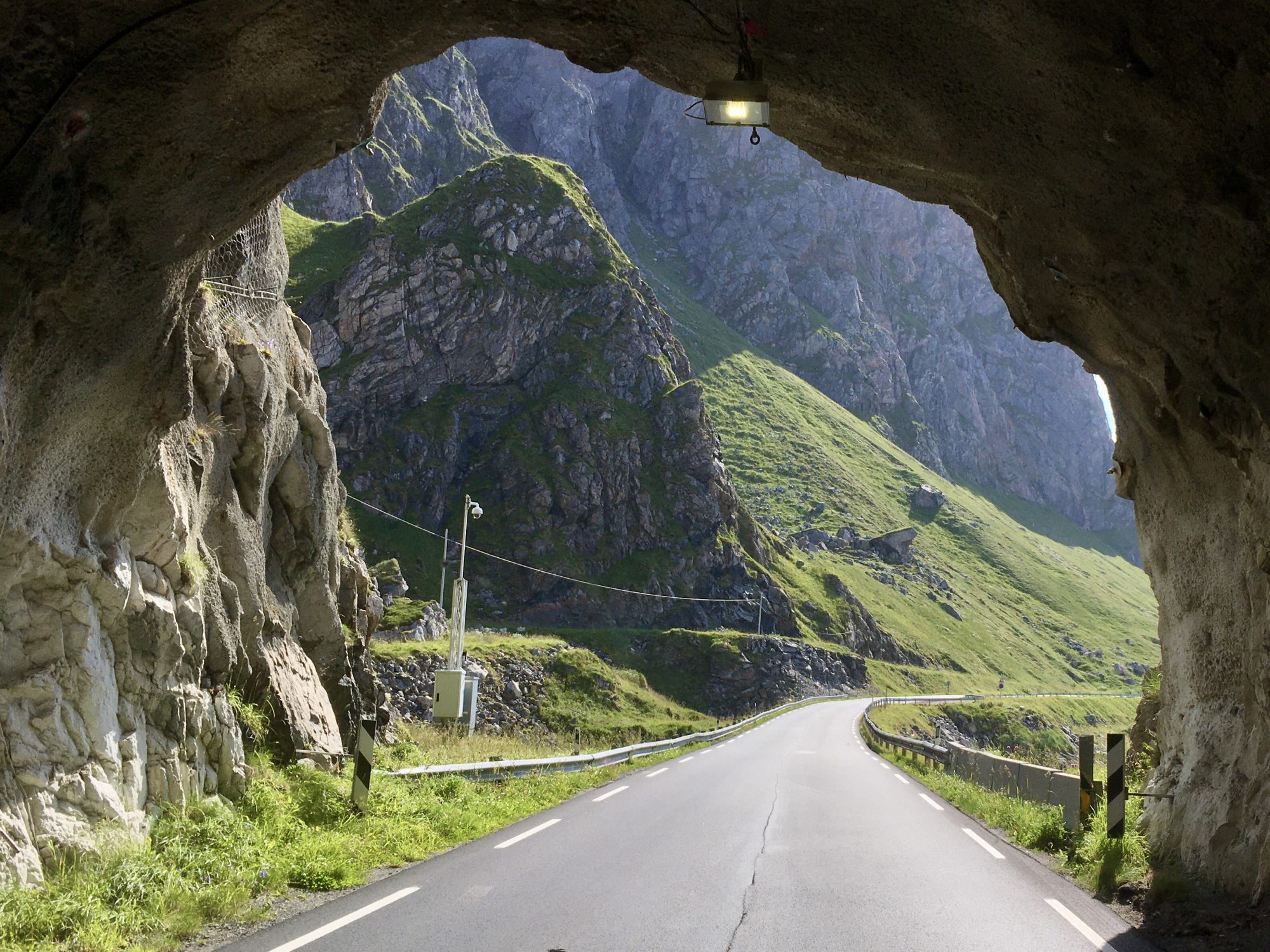
The west coast is hard to get to and hard to travel in. Roads are narrow and tunnels many. Most tunnels have one lane only and can be kilometers long.
But there is a road, the Norwegian Scenic Route Senja that you can follow to the dramatic west coast. Through many tunnels it winds to places like Bergsbotn, Ersfjord, Straumsnes – and the small villages of Skaland and Fjordgård that are good bases for hikers.
Senja from the roadside:
The green, rugged west side of Senja
Traveling Senja in a Motorhome
If you are traveling in a motorhome, Senja is a challenge. The road is frightening, so narrow that it’s hard to meet oncoming traffic. Senja tunnels are frightening as well so be super careful when driving in Senja! Senja is much more difficult to drive than Lofoten, you should have a small car and not a motorhome.
Despite the roads, we just loved Senja. Outstanding beauty like this doesn’t exist anywhere else in the world. Senja is a hidden gem.
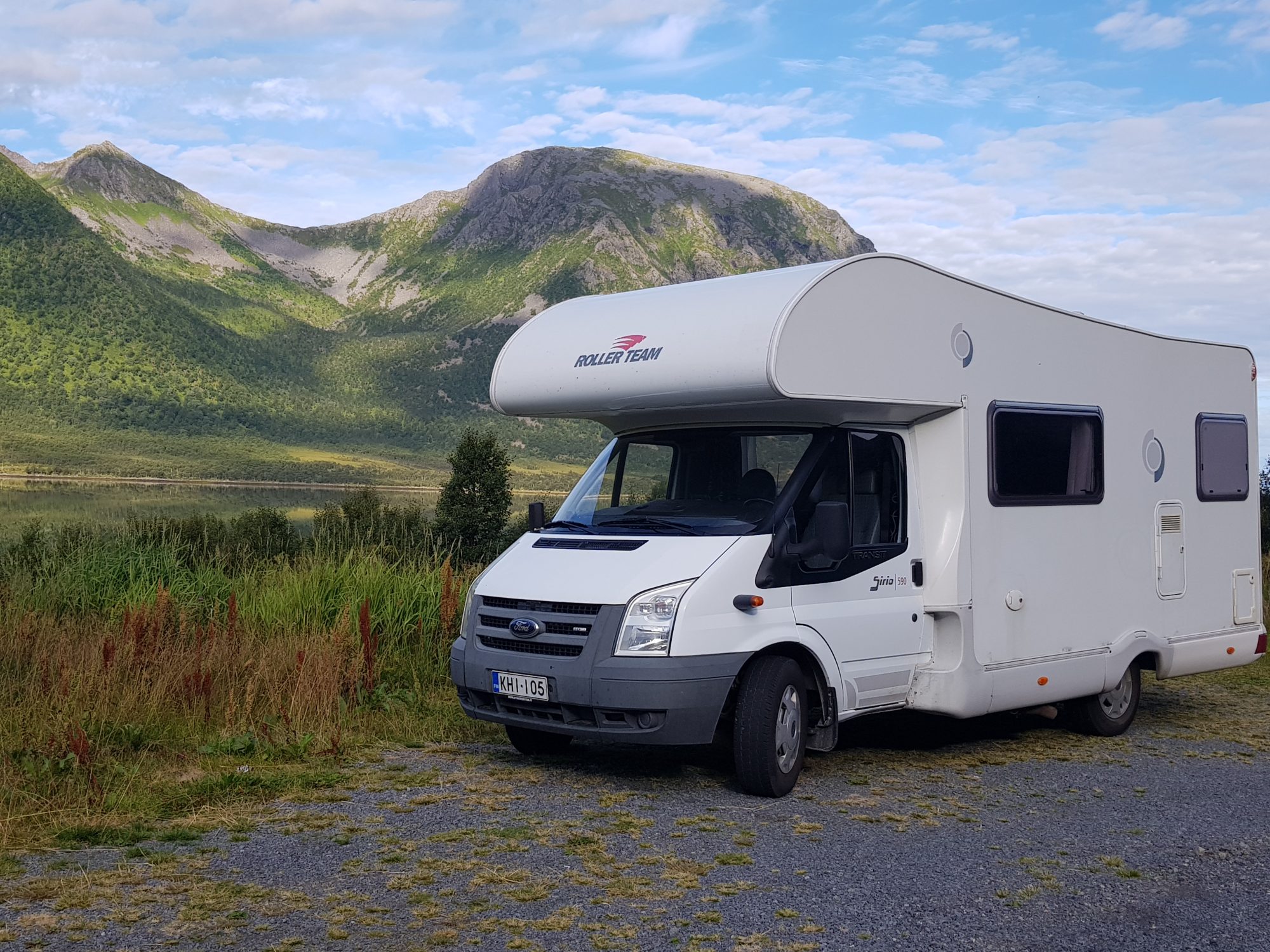
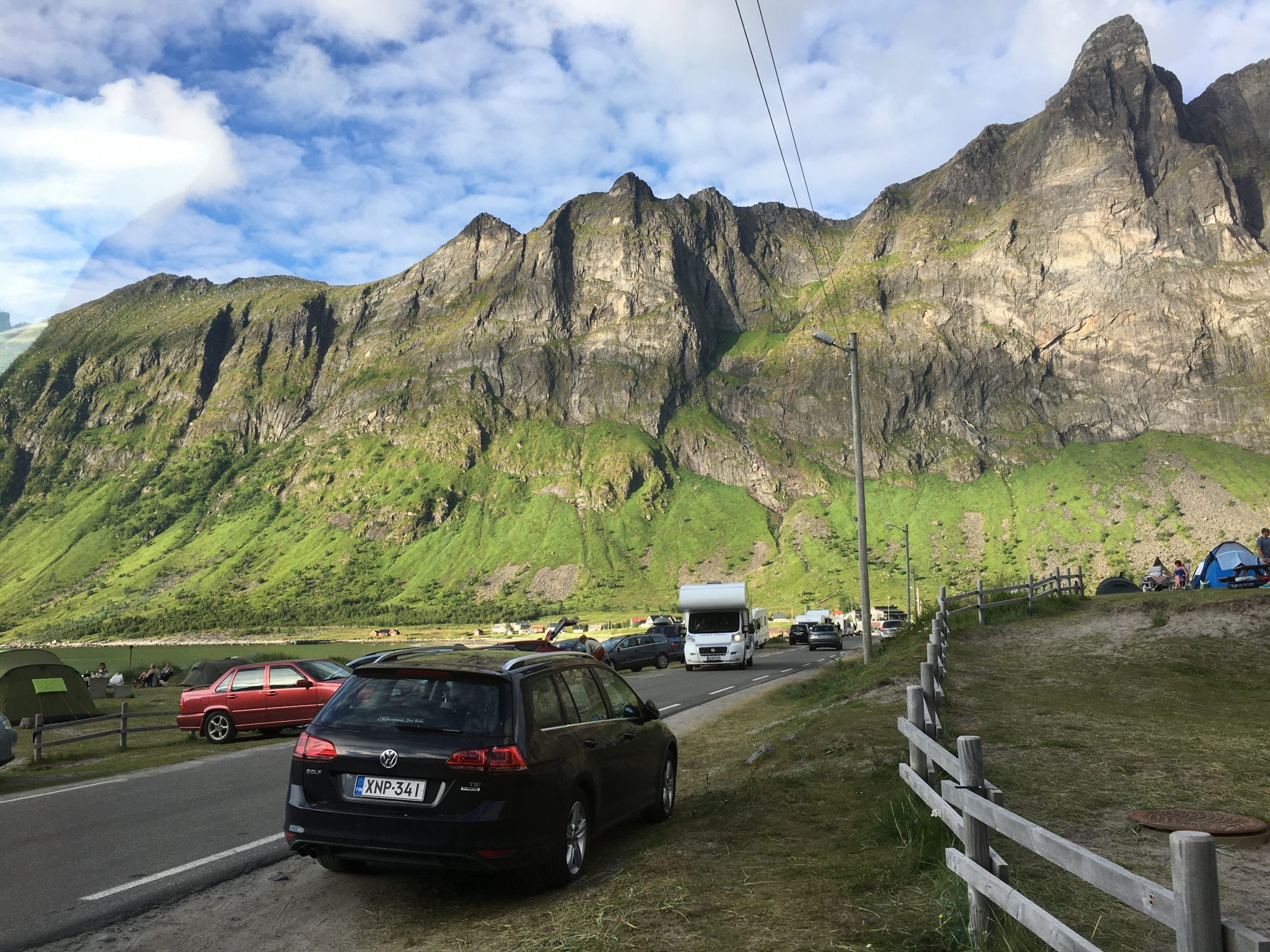
Senja has not really become a tourist destination yet, it’s so remote and there are not many places to stay. There are not many camping areas either. We partly stayed in marked campsites and partly in the wild. In places like this:


Norway by motorhome: wild camping in Senja
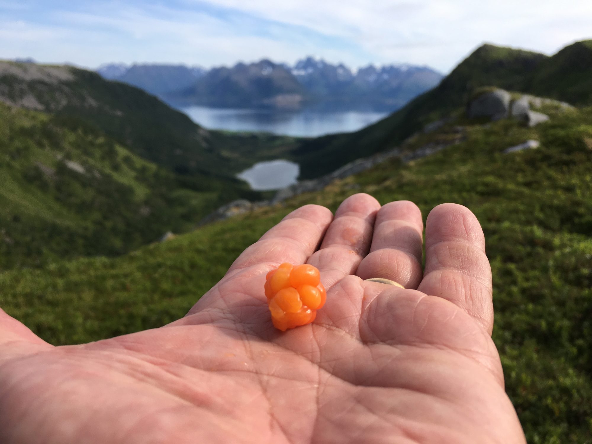
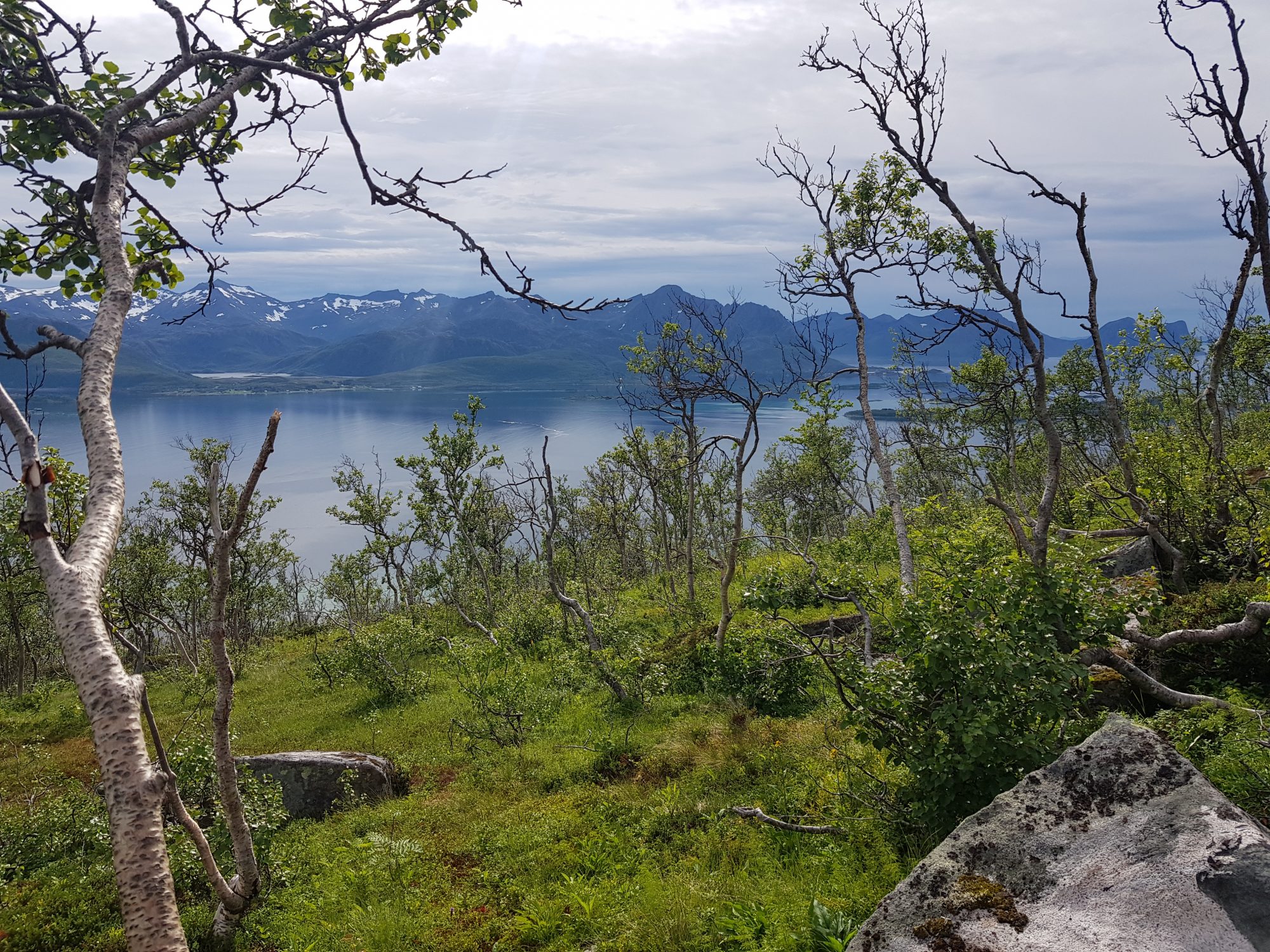
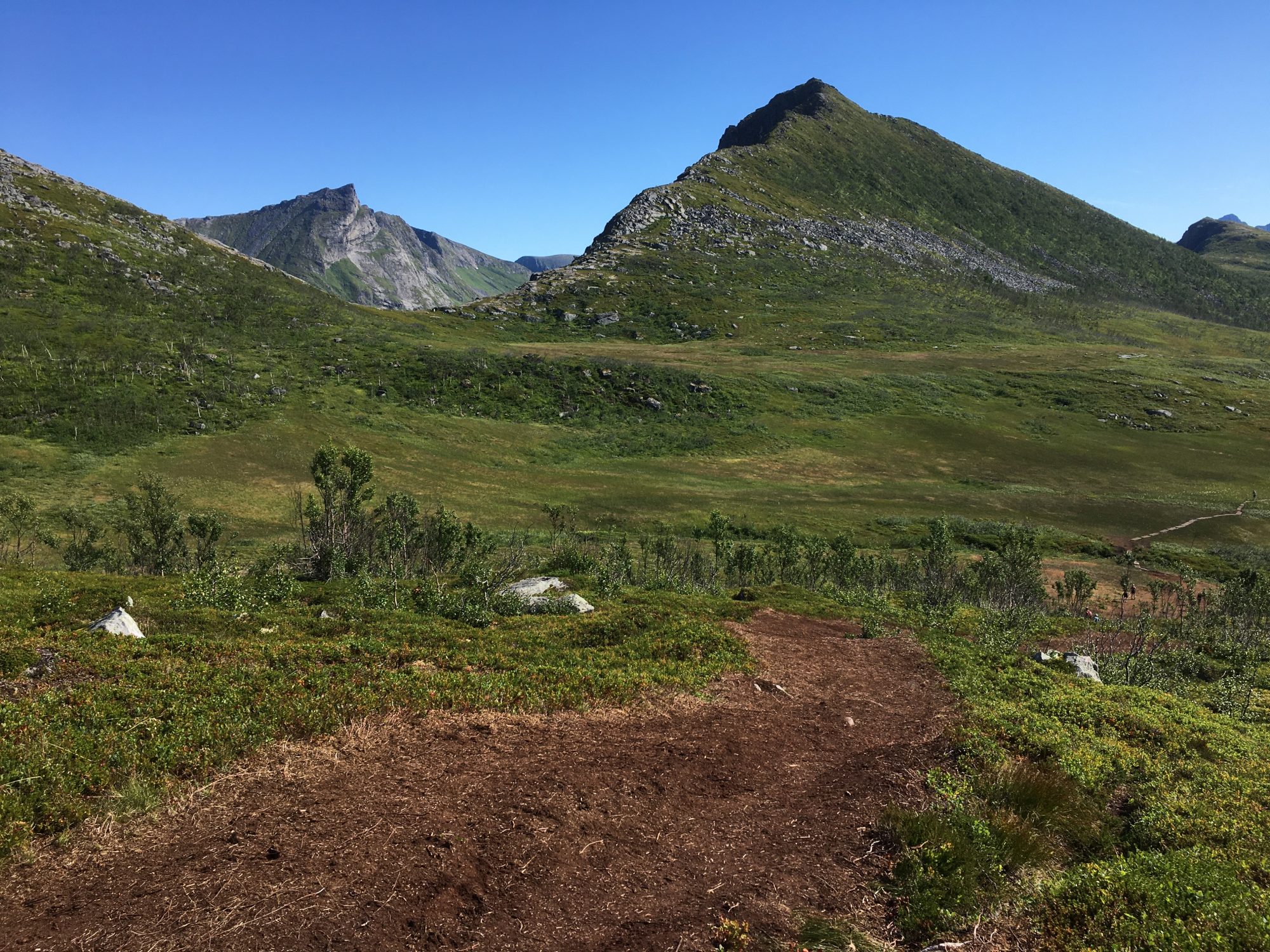
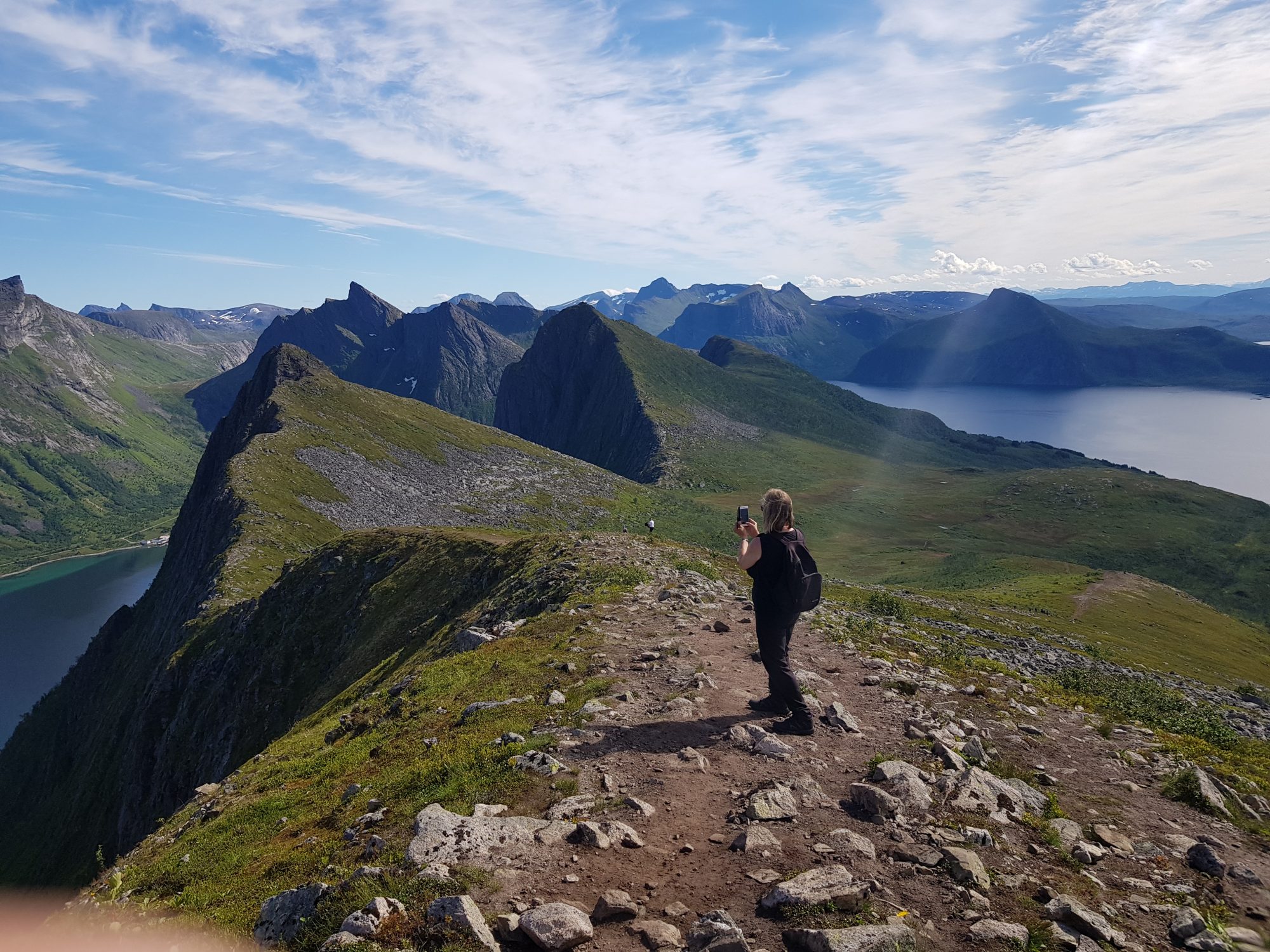
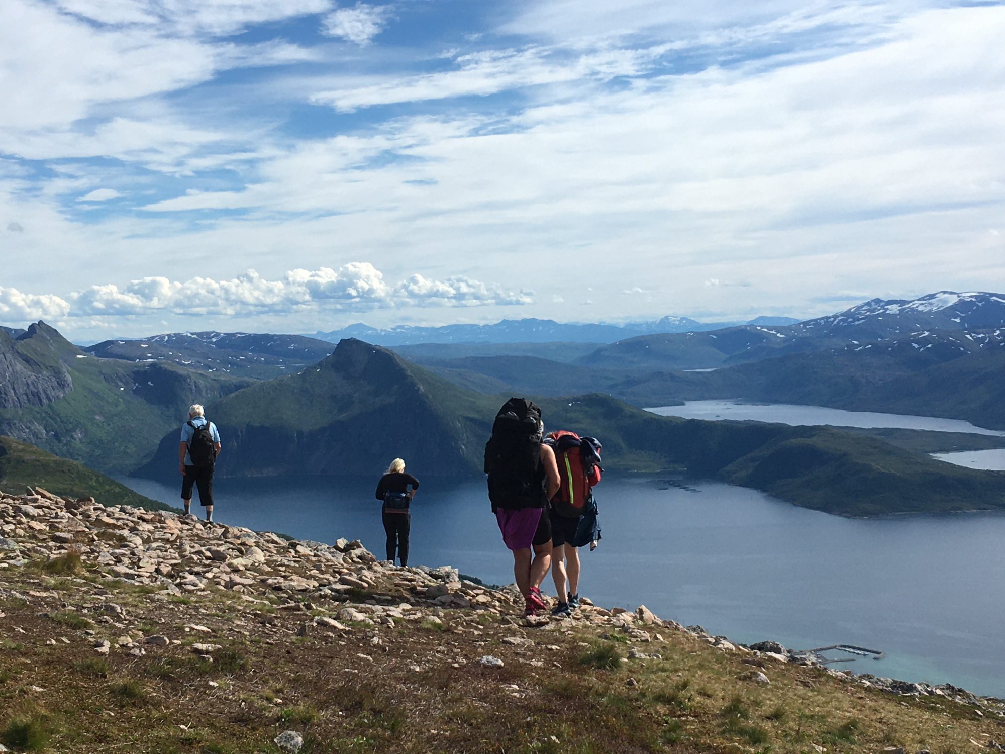
And we hiked in Senja, all day long. As there are so many mountains to climb, Senja is a super good hiking destination. But as most hikes are quite demanding, you will have to choose where to go.
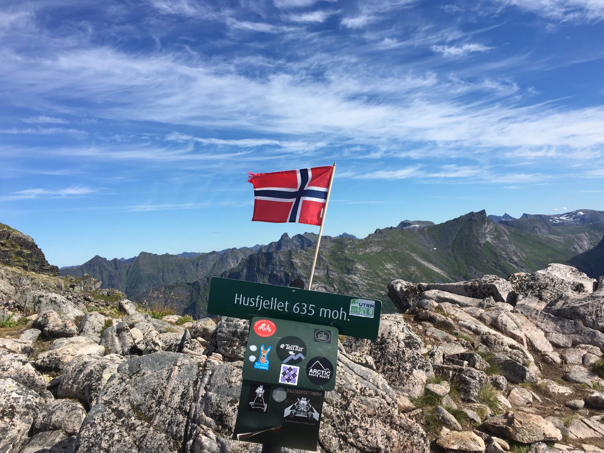
The outt app and outdooractive website lists Senja hikes, totally around 15 in number, fantastic hikes of which we had time with two, marked as moderate hikes – Husfjellet and Hesten:
Hike to Husfjellet

View from Husfjellet, Senja
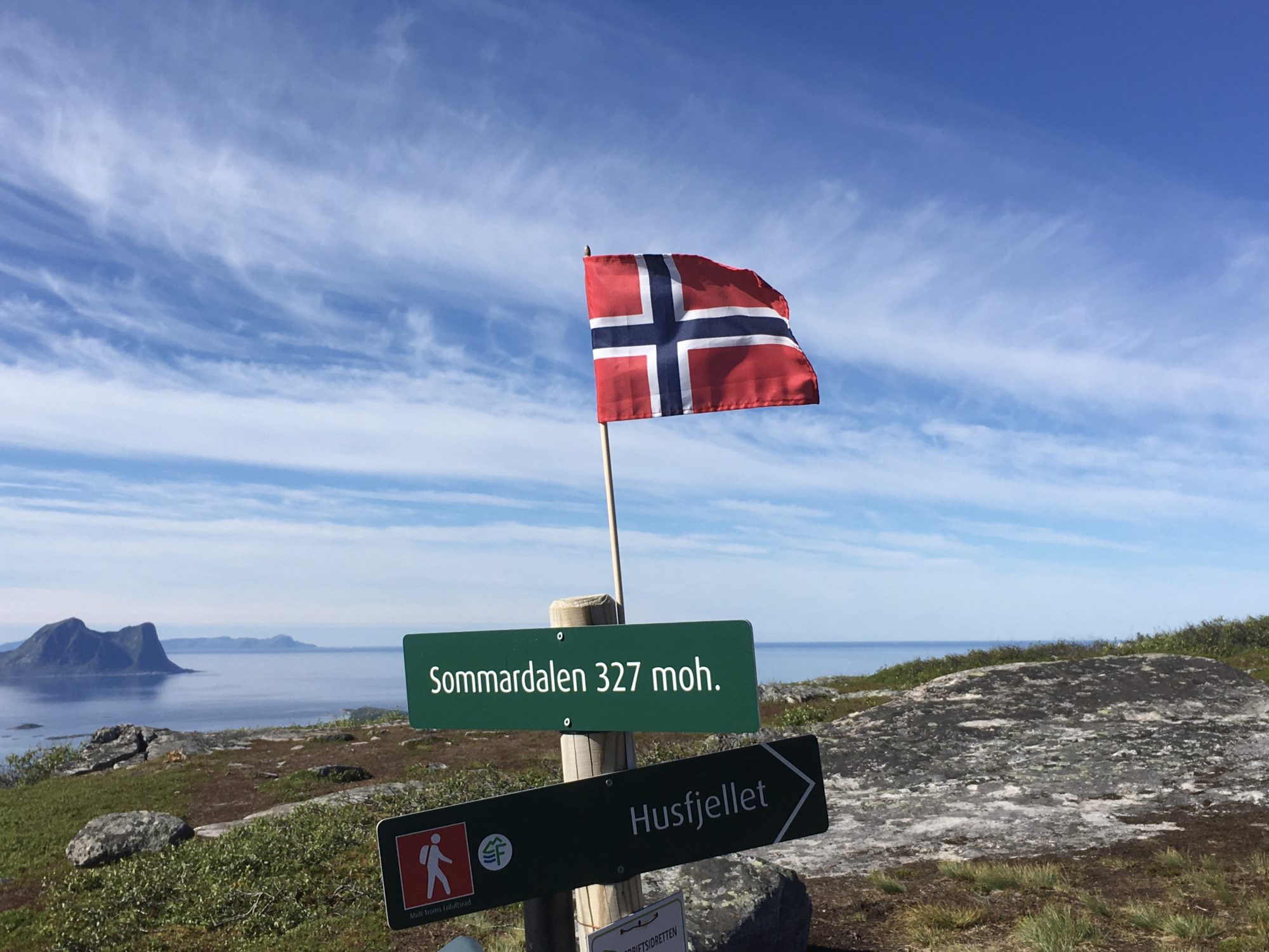
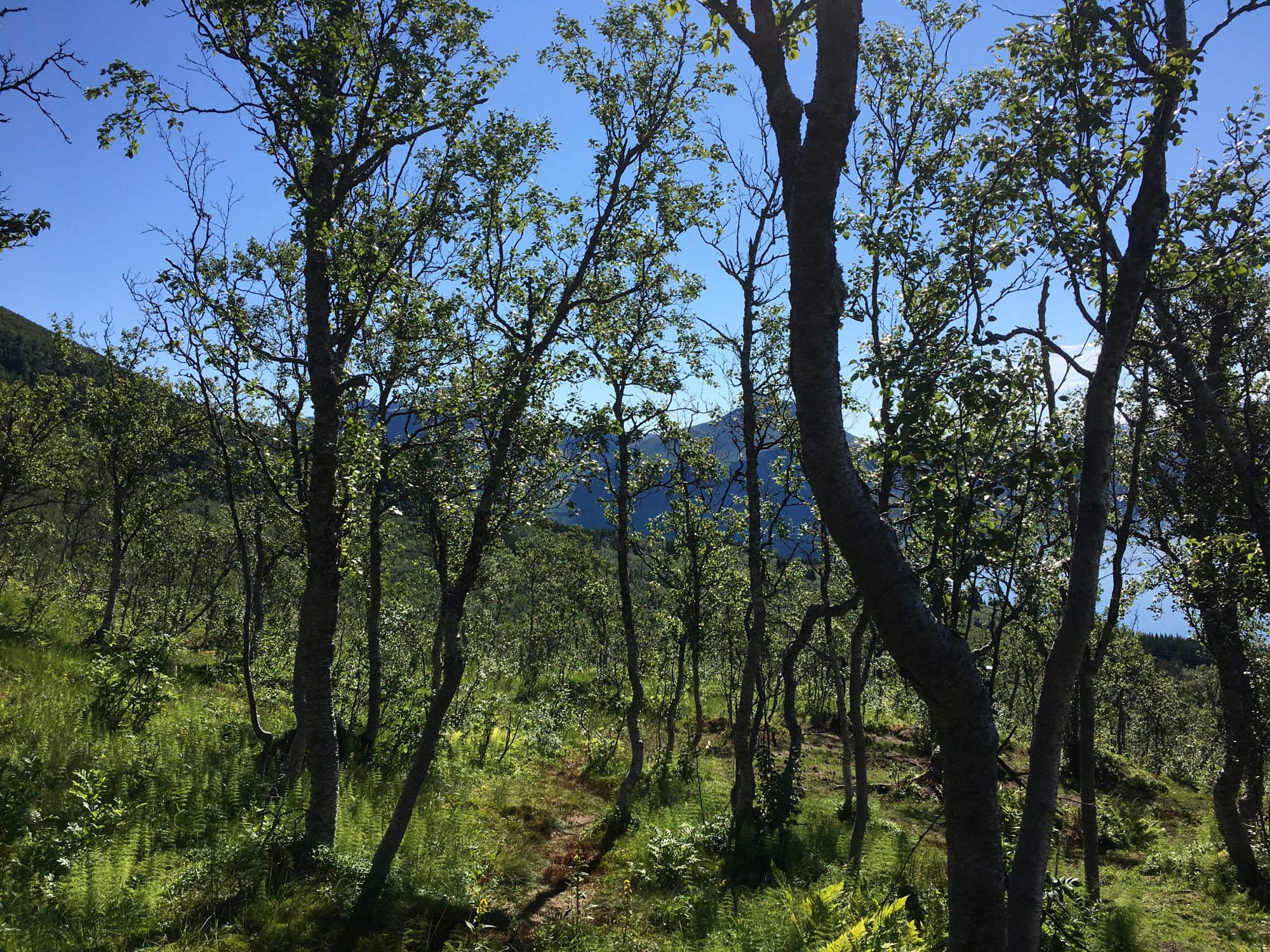
Husfjellet is 635 m and located on one of the Senja fingers, on a long and narrow peninsula so there’s water on three sides. The hike starts in Skaland and first goes up a beautiful alpine birch forest.
On the way up there’s a natural half-way stop at Sommerdalen which is a lower top with fantastic sea views, but go on! Views from the top of Husfjellet are just magic:
Norway by motorhome: hiking up Husfjellet, Senja
The Husfjellet Hike is only 3.8 km (there and back) but easily takes half a day.
The views are as rewarding as from the more popular Segla, but the path is a lot easier – and this place is not as crowded. Also, it’s easier to park in Skaland than in the busy parking area of Forsgård.

Conquering Husfjellet: sweaty but happy!
The Husfjellet hike is a fantastic experience, so try it! This is the hiking route description on outt: outdooractive: Husfjellet
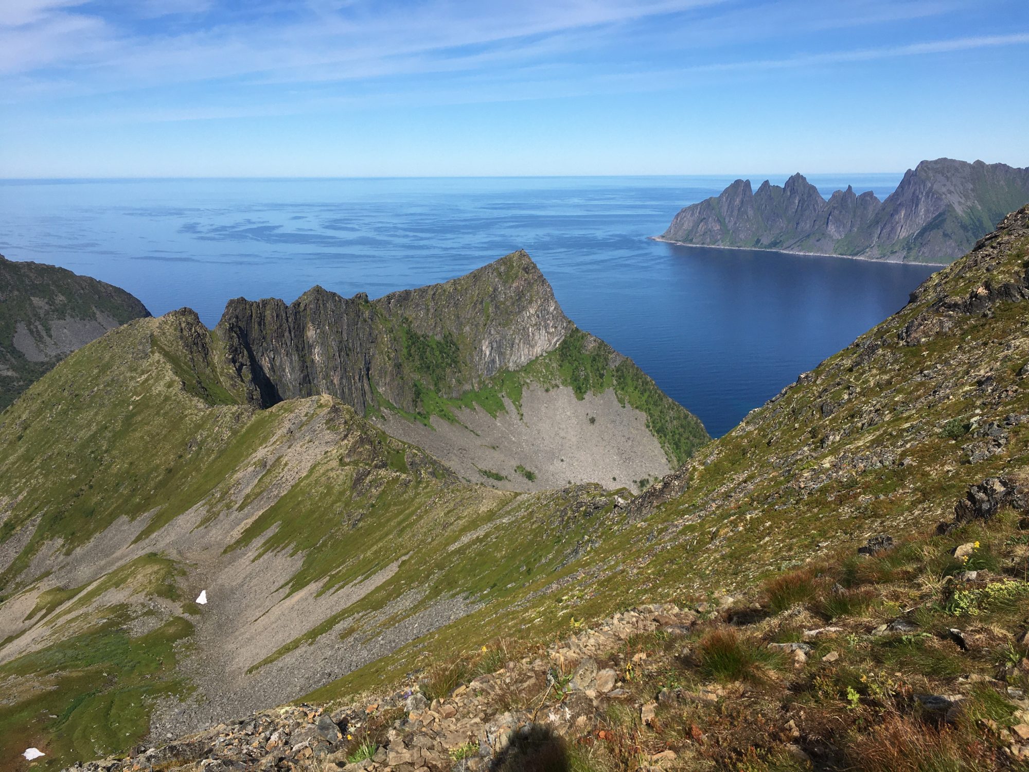
The other hike we had time with was Hesten, a sharp mountain behind Segla:
Hesten and Segla


Hiking in Senja, Norway
The Hesten Hike was even shorter than the one to Husfjellet, only 1,8 km up and back the same, but this one, too, took us hours. Simply because the views from the top were of the kind we just couldn’t leave.
The day was cloudy and not hot as the day before, yet I was sweating a lot in the steepest section where I thought I will never get down again. I was already planning to order a helicopter ride down but got the power to continue. I did it!
I was happy with that this was a lot easier than Segla. And so many people climb Segla! Norway has incredible hikes! Should visit more often to get used to this.
Up on Hesten we could just look at the mighty sugar loaf of Segla without even climbing it!


Looking at Segla from Hesten
For the Hesten Hike you will have to park on the same school yard as for Segla and walk a bit through the village to where to hike starts. It’s first forest and then a downhill slope but will get more scenic. Soon you will get a view of the fjords on both sides.
Norway by motorhome: the Hesten Hike from Forsgård, Senja
For a real fell top experience some travelers carry their tents up and stay overnight on Hesten. Would have loved to join them, but it was too long way down and back to get our equipment. So we slept in our van.
If you got interested, the Hesten Hike on outt: Hesten Route Hesten, outdooractive
The Segla Hike on outt: Hiking Route Segla, outdooractive


Hesten: we did it!
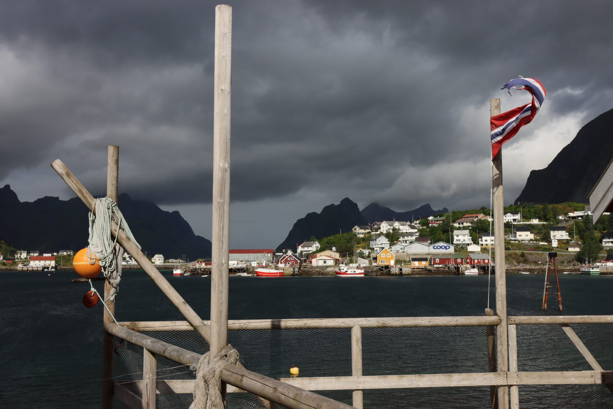
Ferry to Sommarøy
Would have loved to conquer more Senja fell tops, but the road called us. It was time to leave for the next island in order, the Caribbean-like Sommarøy – located 300 km above the Arctic Circle.
To get there we had take the Botnhamn-Brensholmen ferry, the ferry between Senja and Kvaløya.
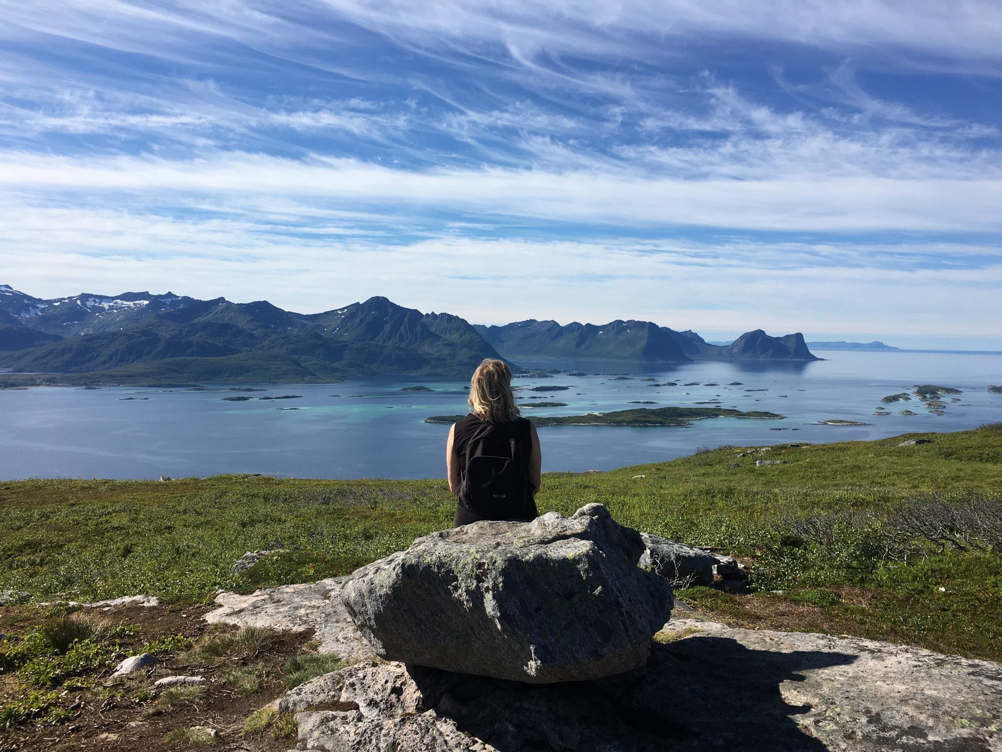
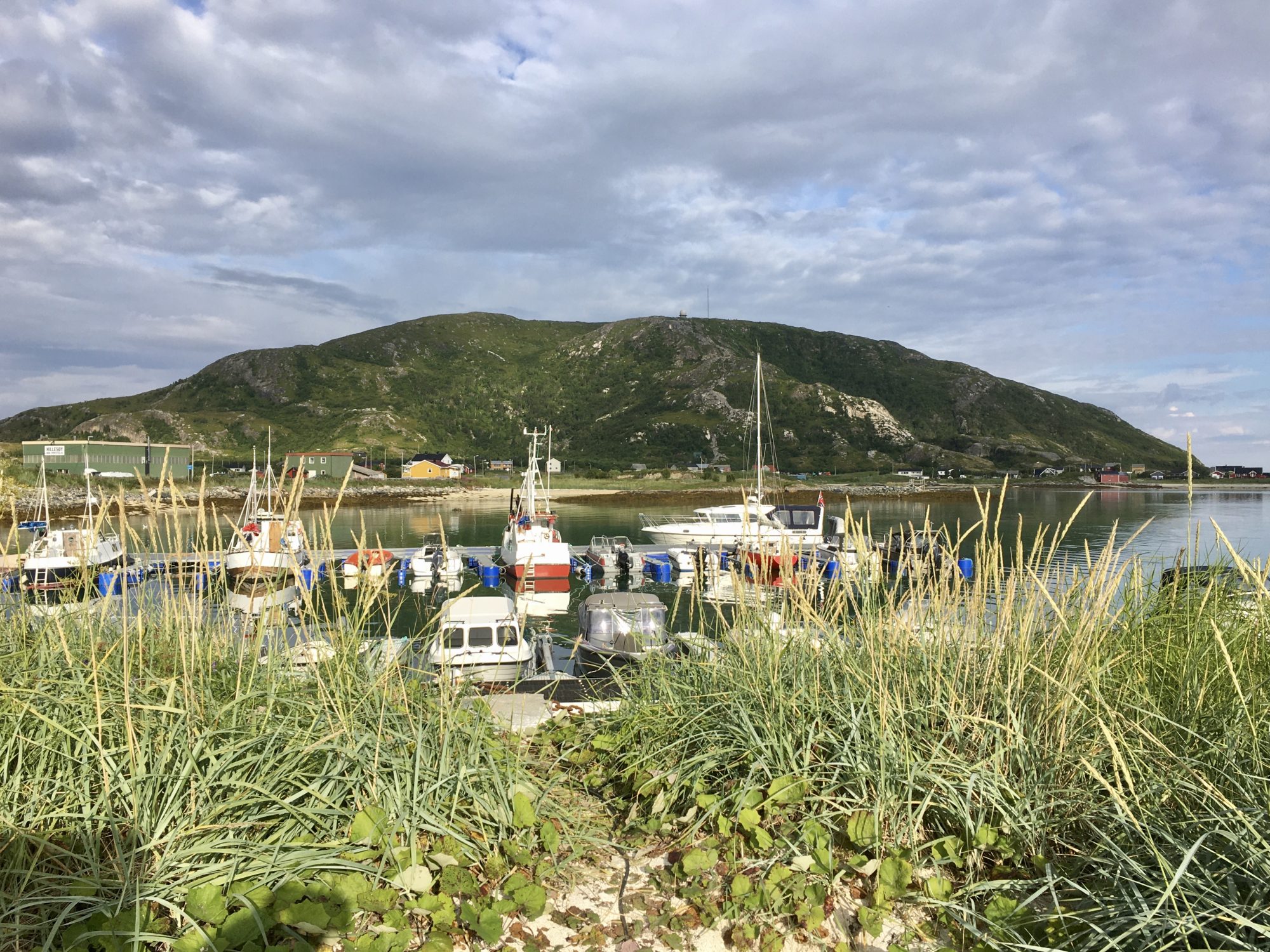
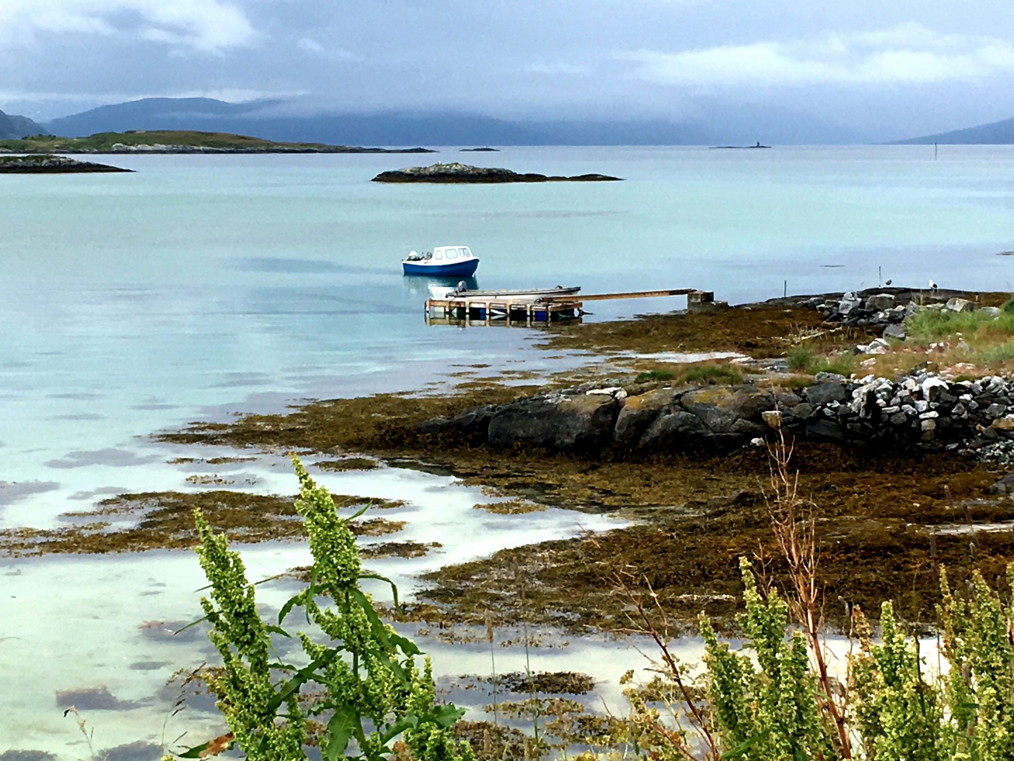
We are now entering the Tromso area, the center of which is the city with the same name. Otherwise it’s only islands in all sizes. Sommarøy is one of the smallest islands, located an hour from Tromsø, the city:
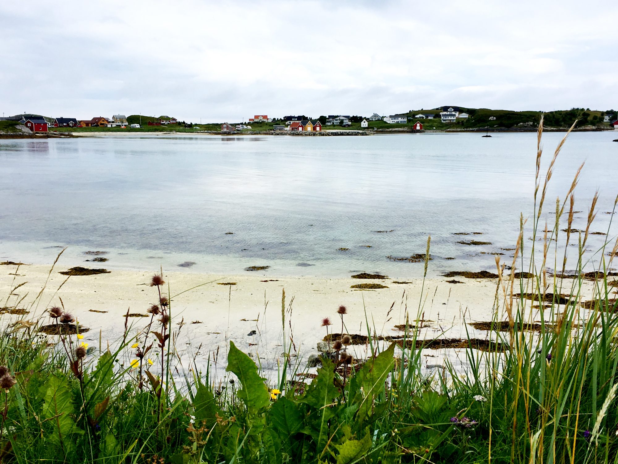
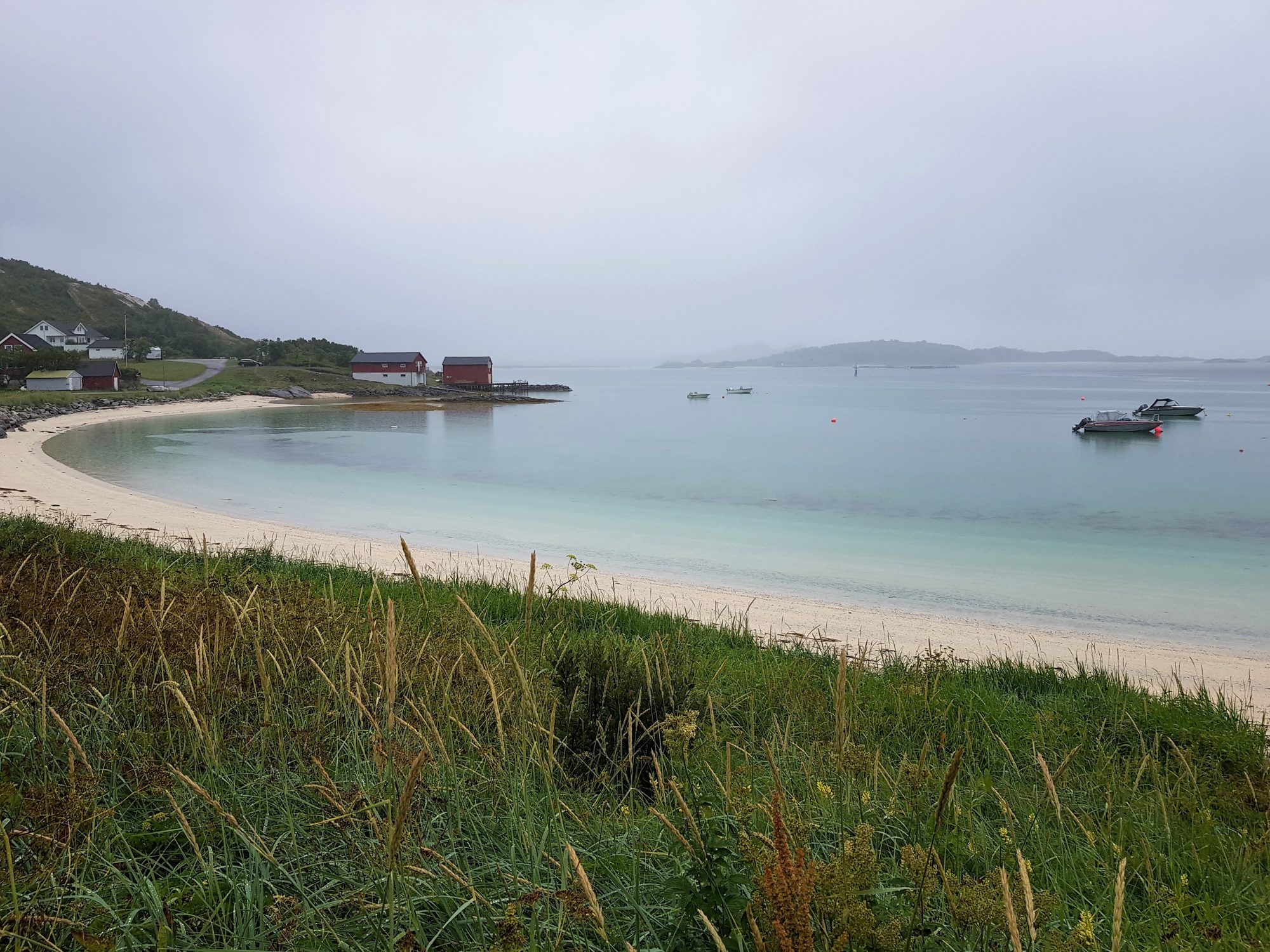
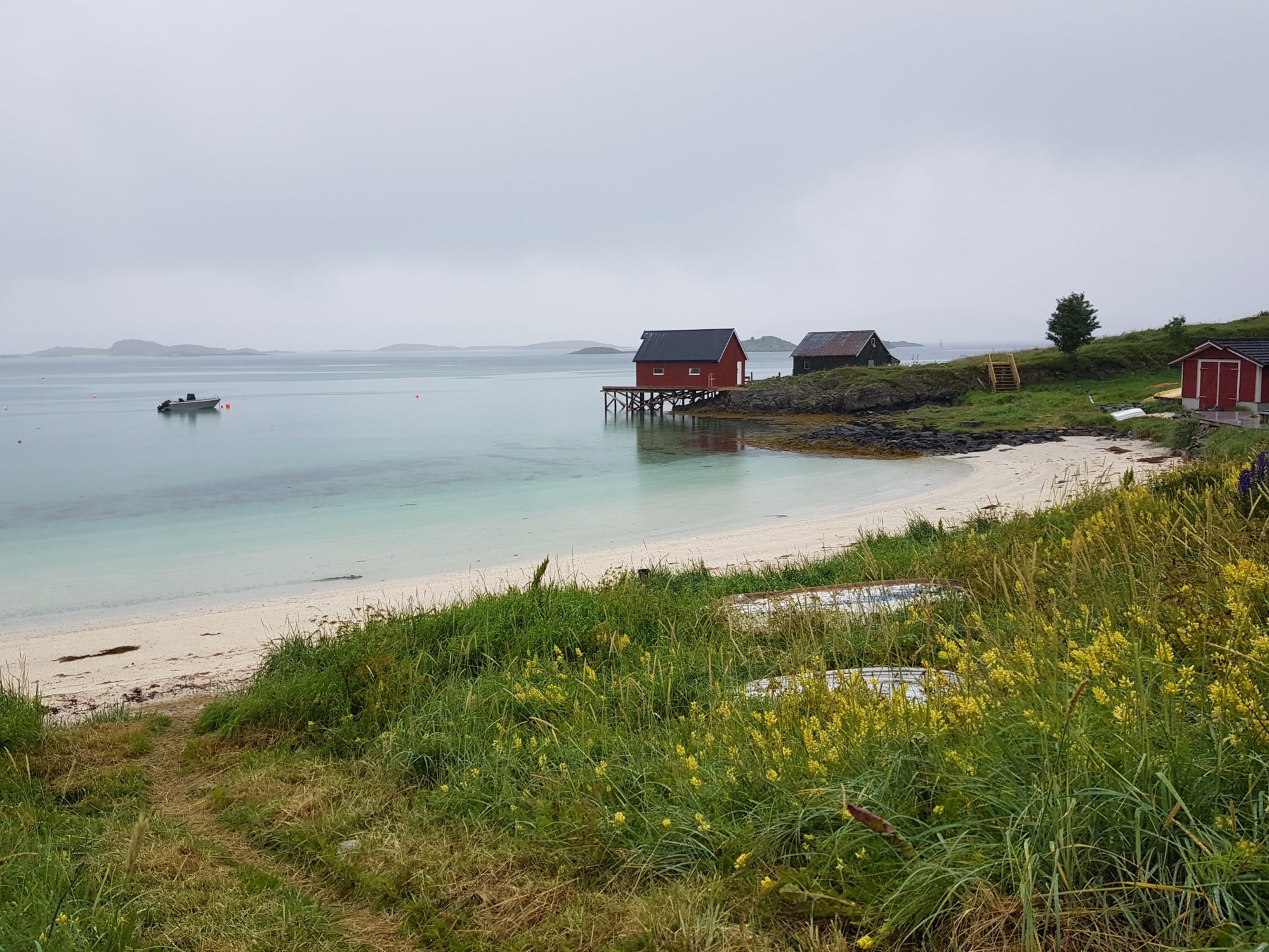
Norway by Motorhome: Sommarøy

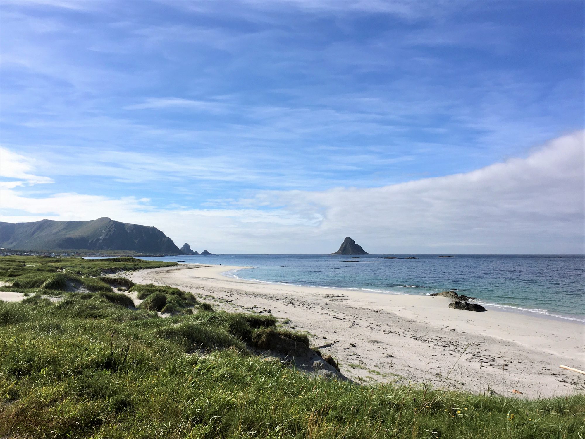
Sommarøy, Norway: an arctic beach paradise
Far away in the Arctic Ocean Sommarøy is known as a beach paradise. Surrounded by shallow white beaches, made of coral sand the island is a miracle.
You can sunbathe and lie in the coral sand, but once you step into the water you will notice it’s not Caribbean but Norway. Norway has corals as well, and clear but ice-cold turquoise waters.
Then there are some sharp mountains. The one you can see in the background gave its form to the Arctic Cathedral of Tromsø:

Mountains off Sommarøy: inspiration for the Arctic Cathedral
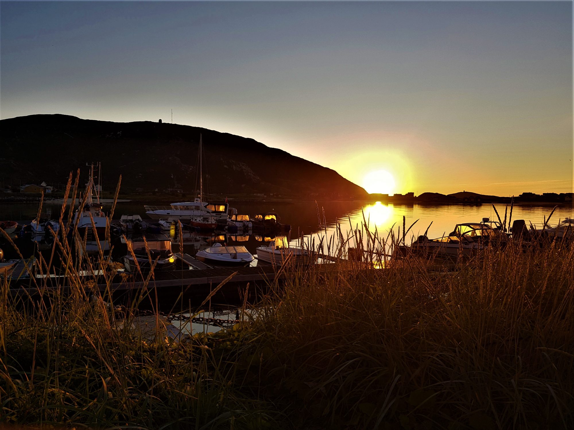
The location in the outer skerries and open views to the ocean make Sommarøy a perfect place for watching the midnight sun.
In these latitudes you can see the midnight sun during two months in the summer, provided the sun appears. For us it hardly did, Sommarøy was the only place on our trip where it rained most of the time.
A cloudy Sommarøy in photos:
Traveling North Norway by motorhome: Sommarøy
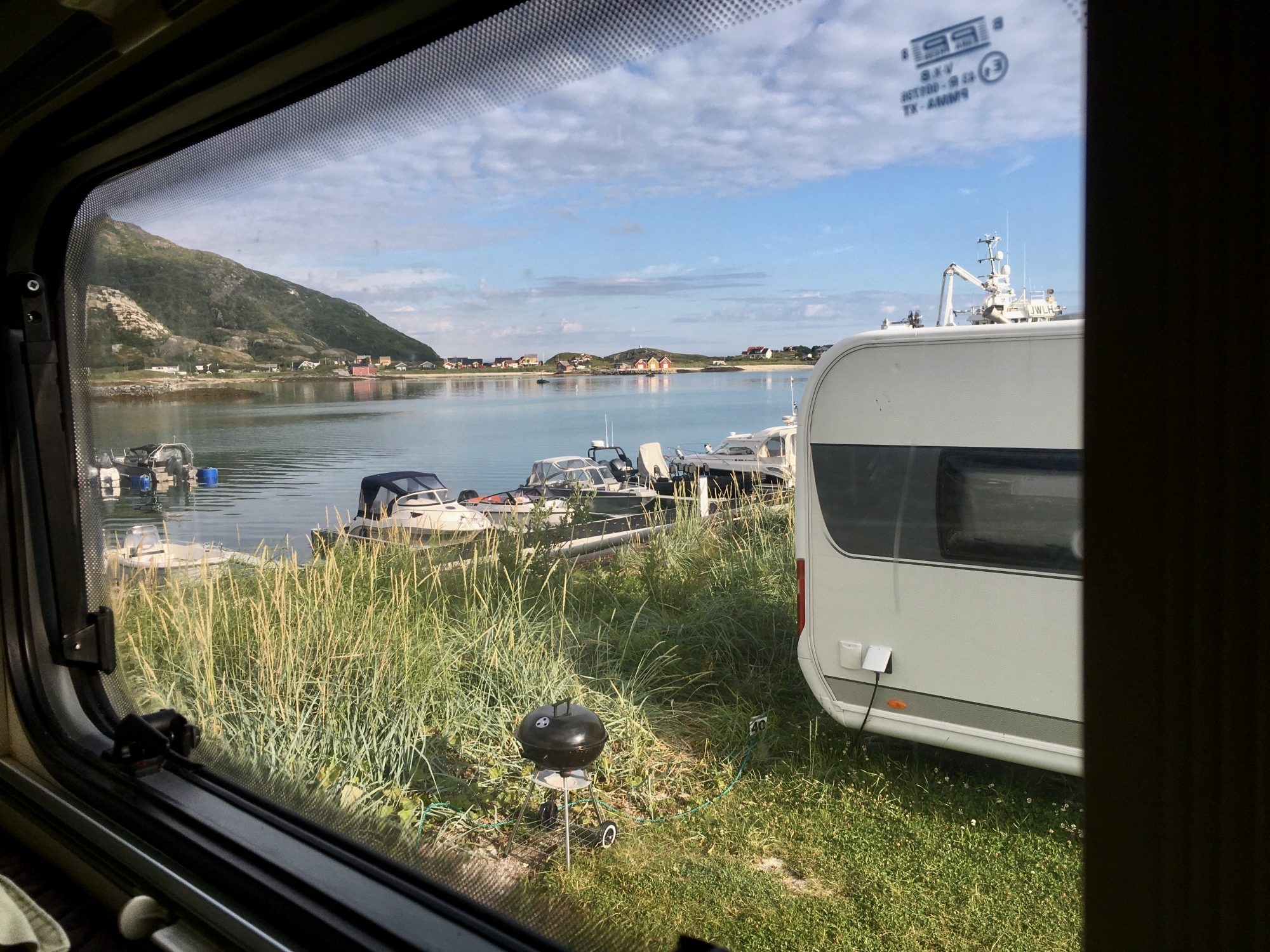
We stayed two nights on the island, waiting for the sun. In the meanwhile we did a week’s laundry using the camping’s facilities and filled our kitchen from the local store.
Sommarøy Camping was a good place to stay, the sea views were stunning and it was just a short walk to all parts of the island. The next island Hillesøya is a short walk away has a hill to climb.
Like many Norway camping areas, this one had no staff. You pay the fee in a machine to get the key code to the buildings and access to the wifi.


Tropical beauty in a misty morning
Now, to get to Tromsø, the city, we had to drive across the next island Kvaløya:
Kvaløya


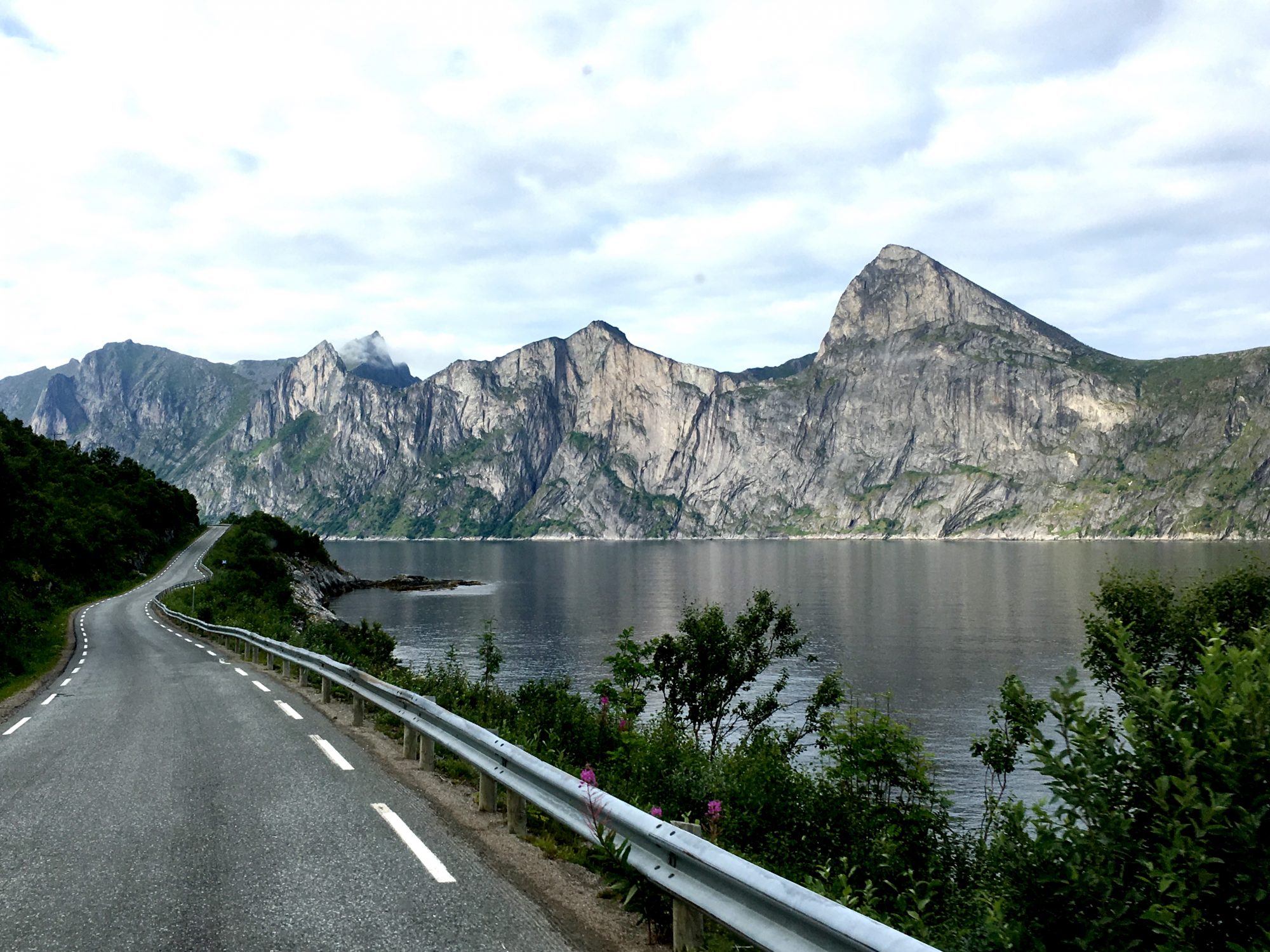
The road through Kvaløya
On the map Kvaløya looks a bit like Senja, both are big islands split into peninsulas on the ocean side. The main island of Kvaløya is split into three or four by long and narrow fjords.
Norway’s fifth biggest island is blessed with nature beauty: remains of snow on the fells at the end of the summer and some most amazing fjord views:
Views of Kvaløya, Tromsø
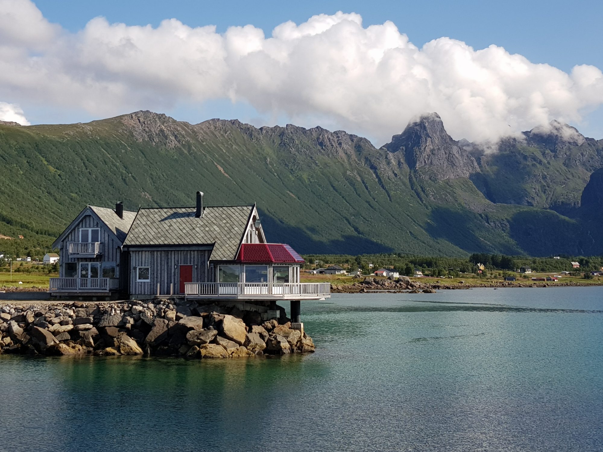
Look at this, a tiny Kvaløya fjordside village in evening light, isn’t it a lovely view?


A Kvaløya village in evening light
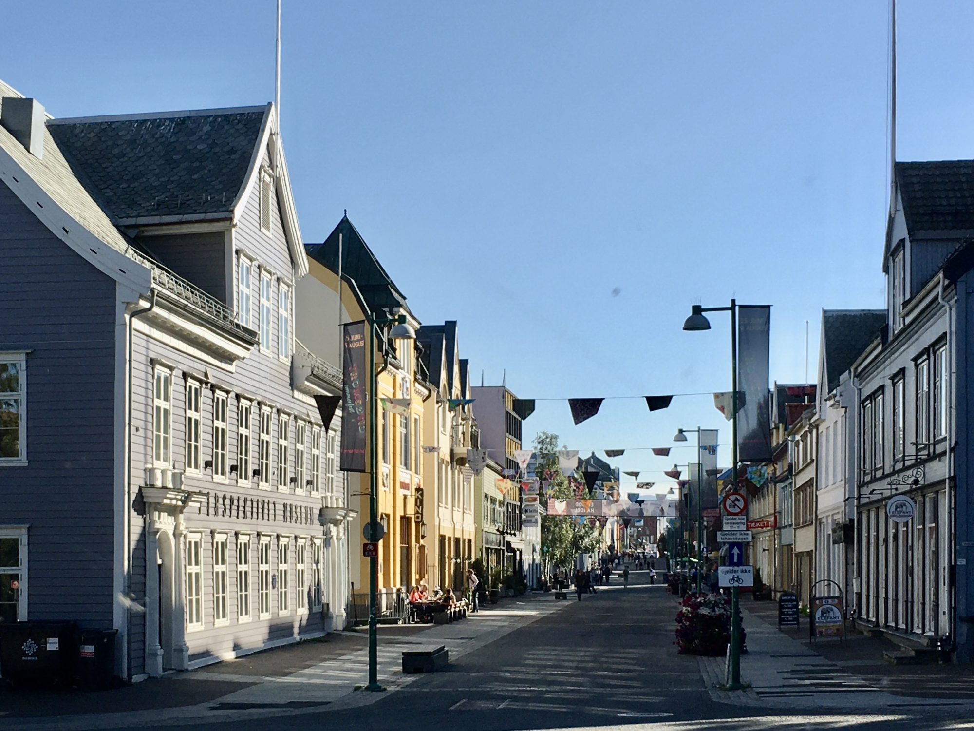
Then comes Tromsø, the capital of the nordic arctic region:
Tromsø

Central Tromsø in Norway’s arctic north
Tromsø is the largest town in the Scandinavian north and an important port on the Arctic Ocean, both for freight and passenger traffic. Hurtigruten, too, stops here.
The city’s location on an island in the middle of a fjord is spectacular. We are 300 km north of the Arctic Circle and the fells around are snow-capped through the summer!
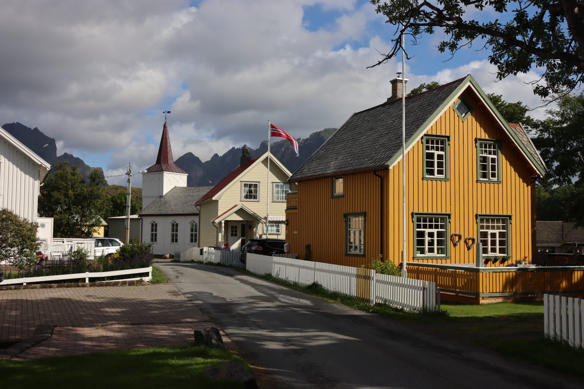
Otherwise Tromsø has a small-town look with colored wooden houses clinging to the slopes.
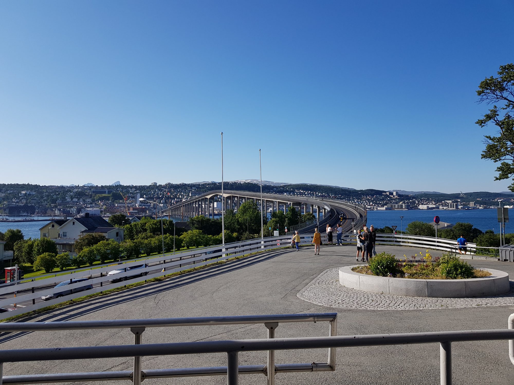

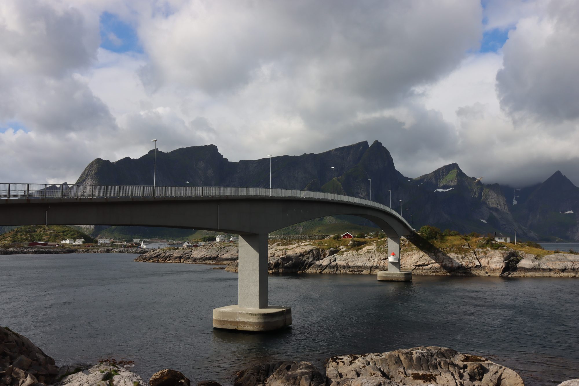
Central Tromsø, a bridge and a 2.3 m high through traffic tunnel
The main sight is Ishavskatedralen, the Arctic Cathedral from 1965, located on the Tromsdalen side across the bridge. On the same side is a cable car on which you can get up the fell to see all the beauty from above.

The Arctic Cathedral, the roof of which symbolizes the northern lights
For through traffic Tromsø has a huge tunnel system that you’re supposed to use to get through the city. At least that’s what our route planner advised.
A word of warning for motorhome owners: the tunnel road is only 2,3 m high so you won’t fit in. Try to find an alternative route through the city.
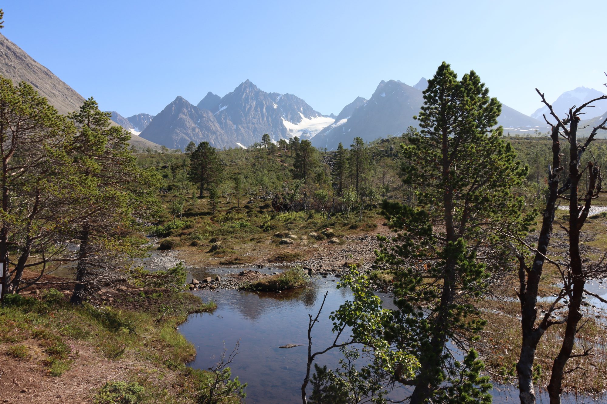
After Tromsø comes the Lyngen Peninsula known for the high peaks of Lyngen Alps. They are like the ones in Austria and Switzerland and hide many secrets like a blue lake you can hike to.
Ferry to Svensby
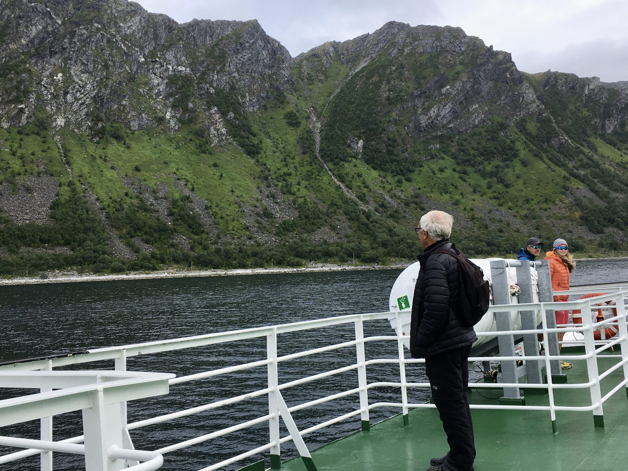
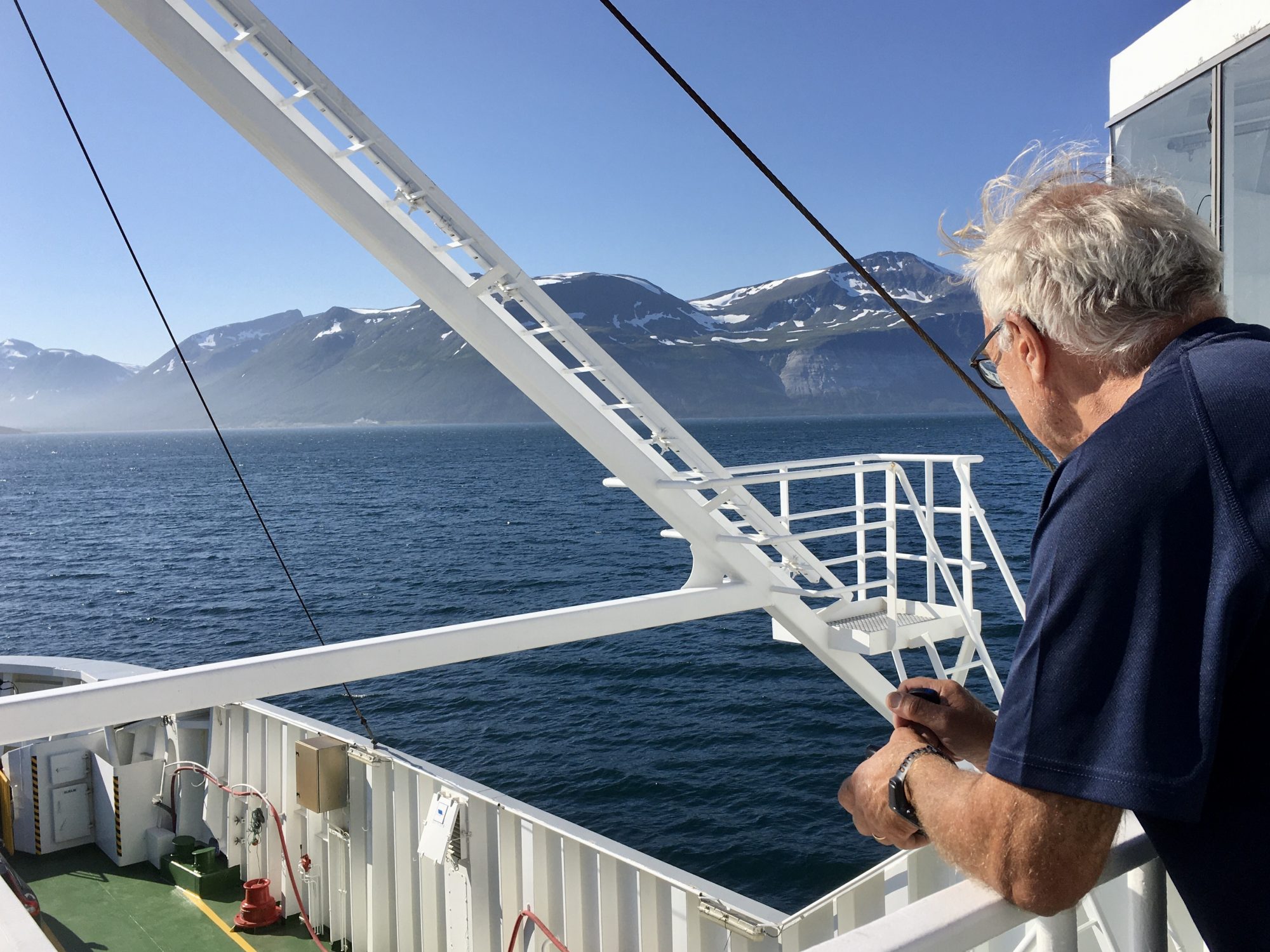
To cross the fjord to the Lyngen Peninsula you will have to take a ferry again, the Svensby-Breivkeidet ferry.
Norway by Motorhome: Lyngen


Svensby, Lyngen Alps
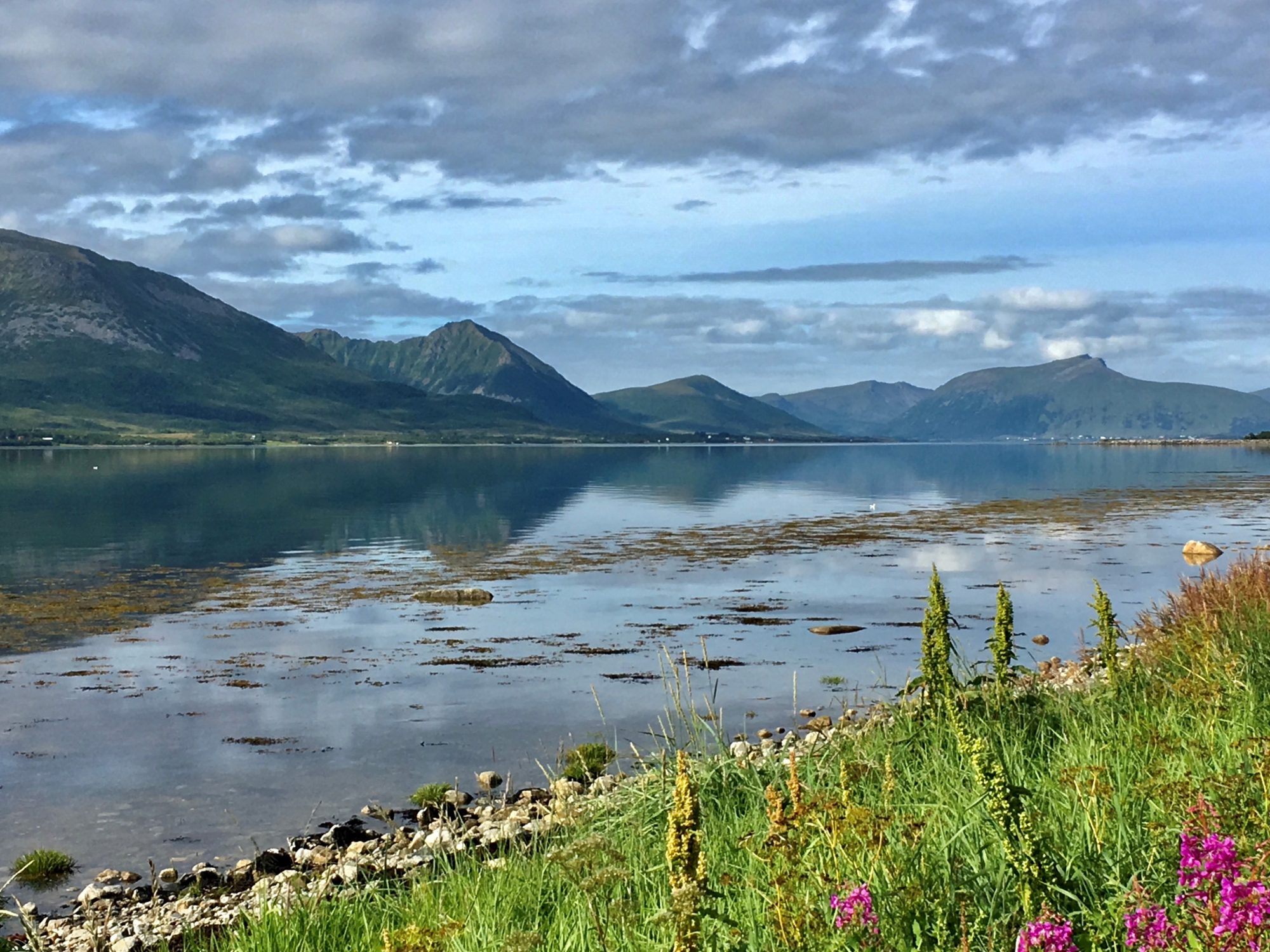
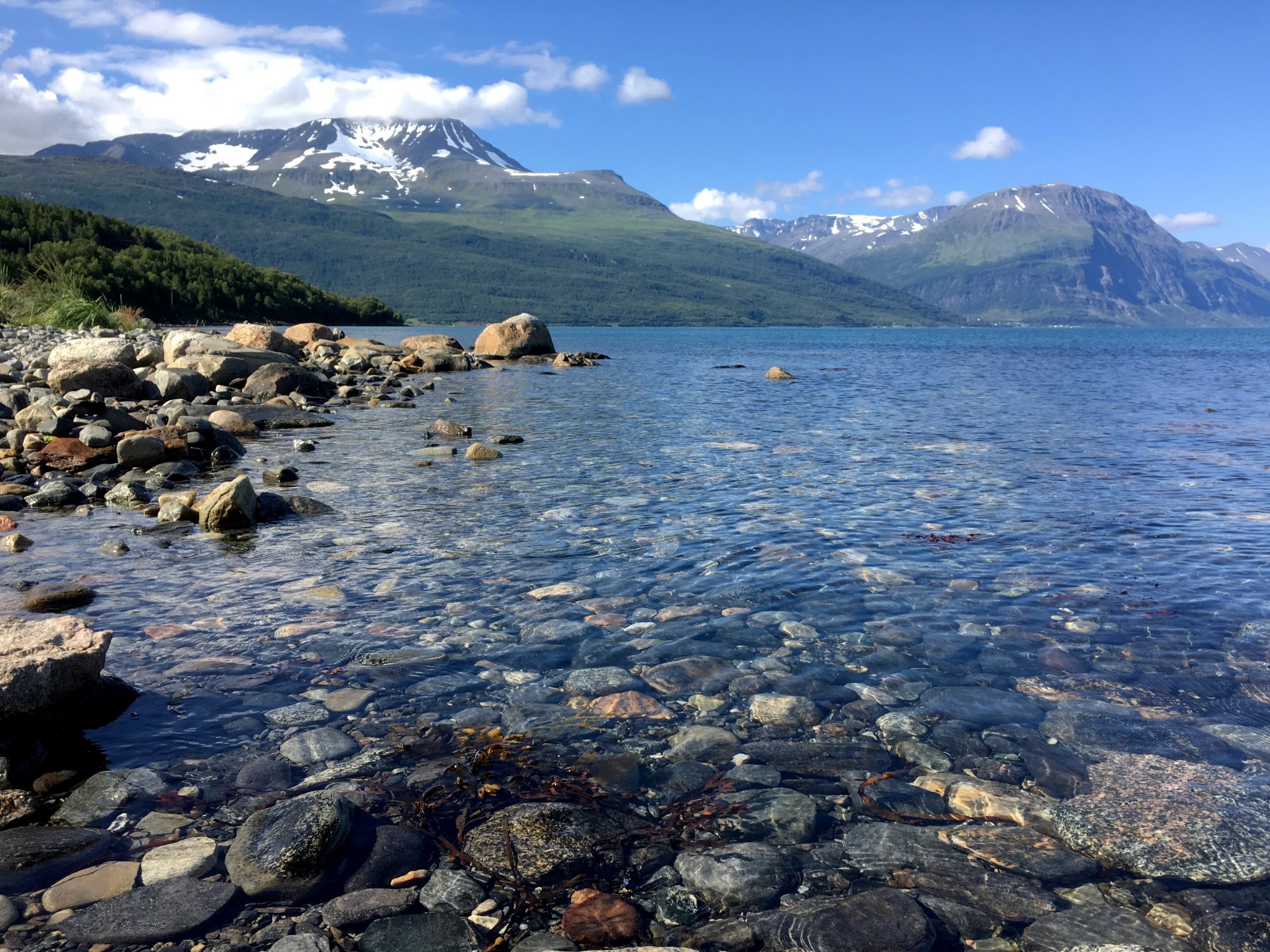
The Lyngen Peninsula is located between two fjords, the Lyngen fjord to the east and Ullsfjorden to the west. Only small villages exist on the peninsula, the main thing here are the majestic fjords and the Lyngen Alps, the highest peaks of which are over 1800 m and snow-capped around the year.
Below Lyngen in photos. We just couldn’t take our eyes off this majestic scenery:


Norway by motorhome: Lyngen
Lyngen is a fantastic region for the outdoors, winter skiing and summer hiking. What you can do here is shown on the Visit Lyngenfjord website. The website shows a long list of great hikes in the region, some of them in an alpine terrain and others on remote islands.
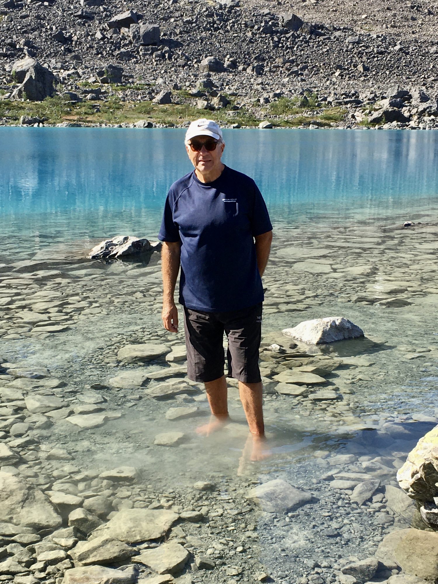
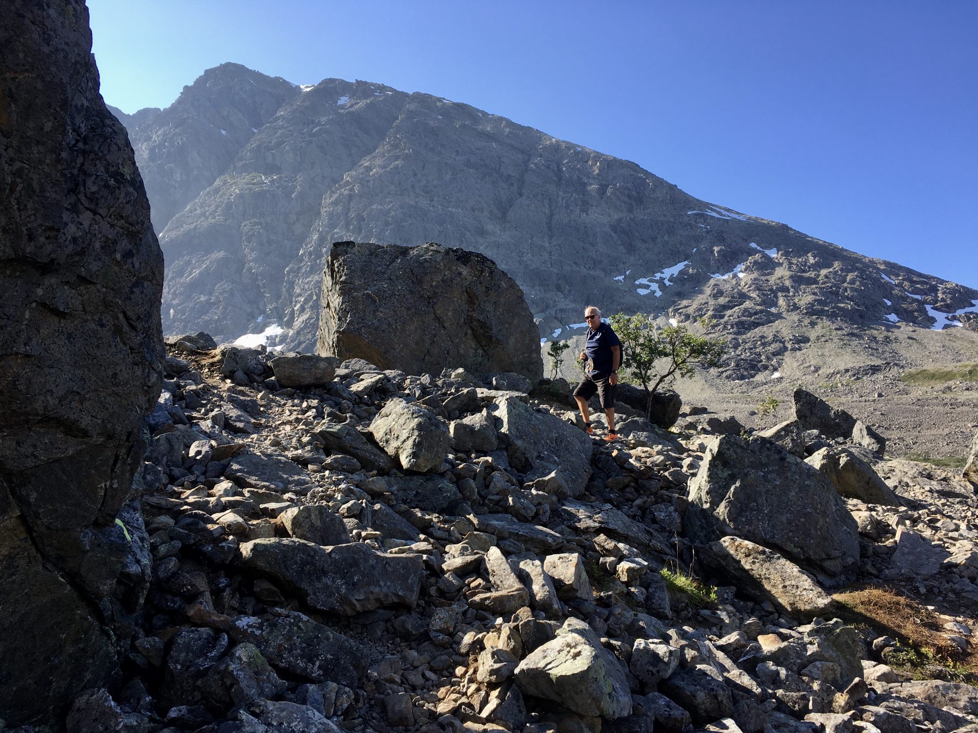
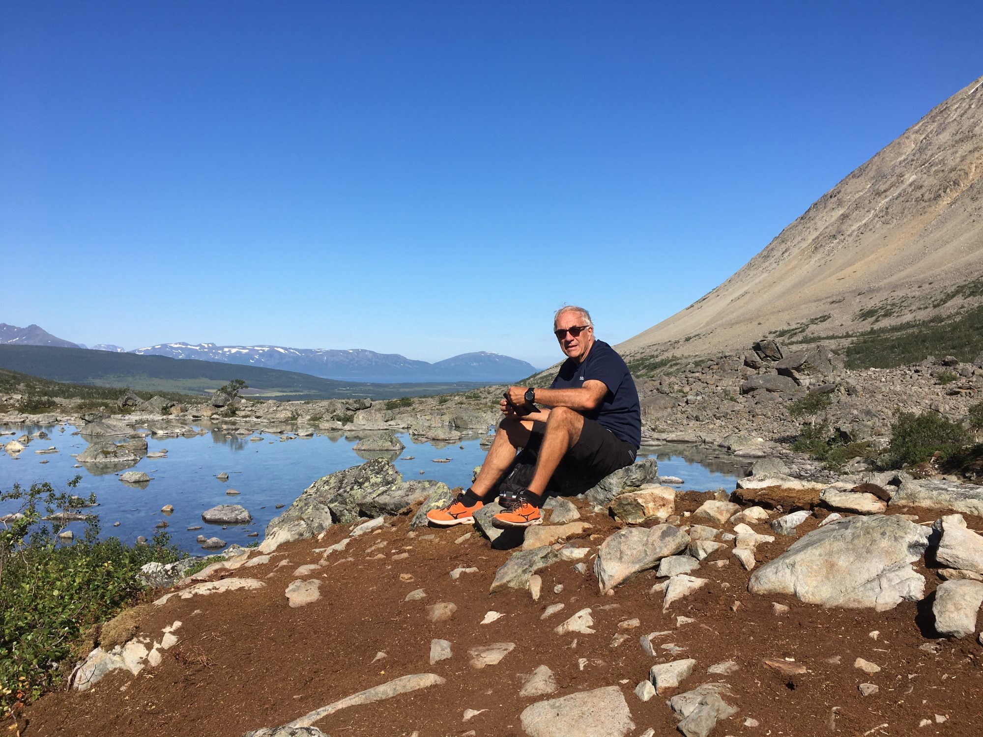
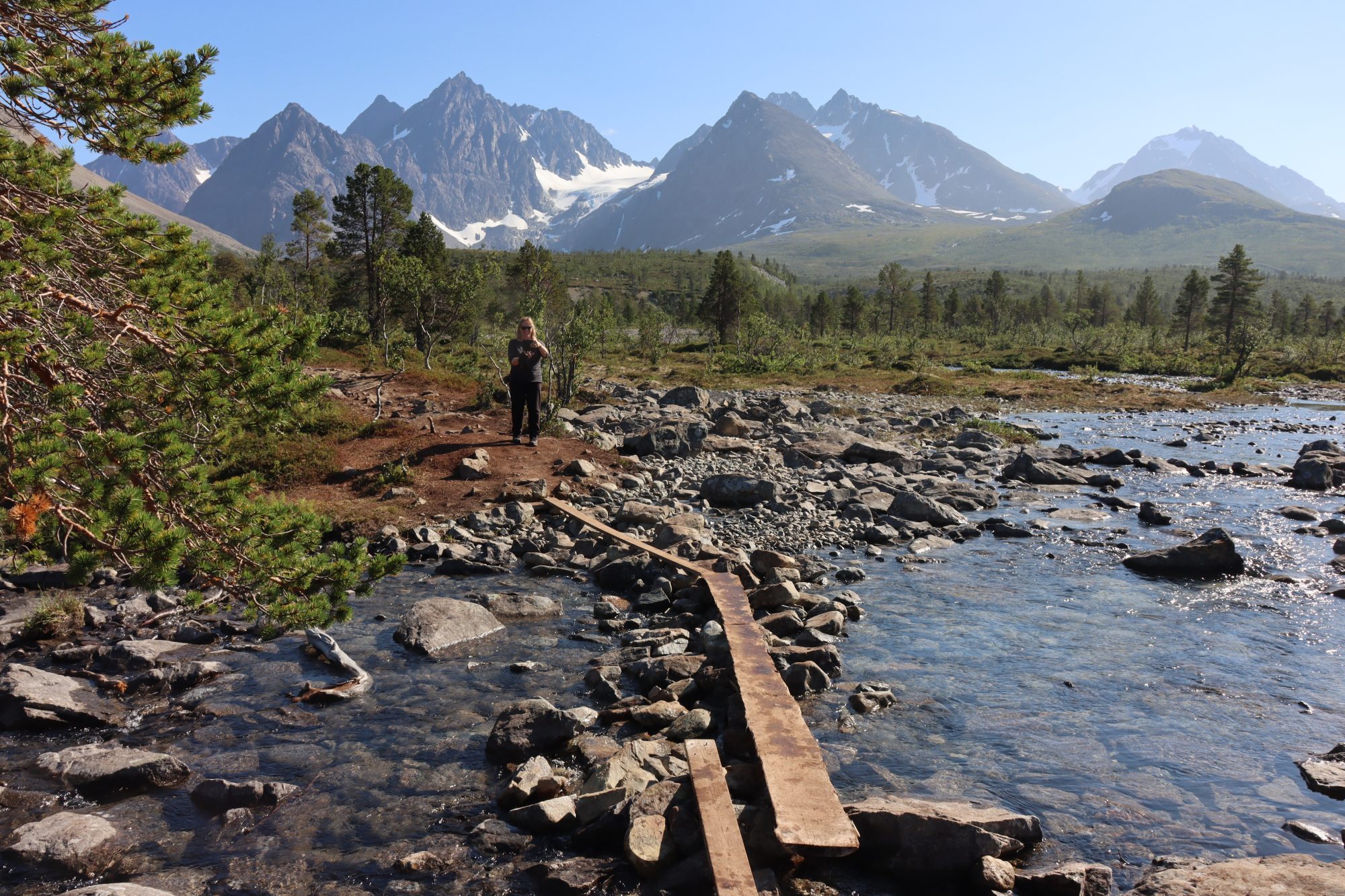
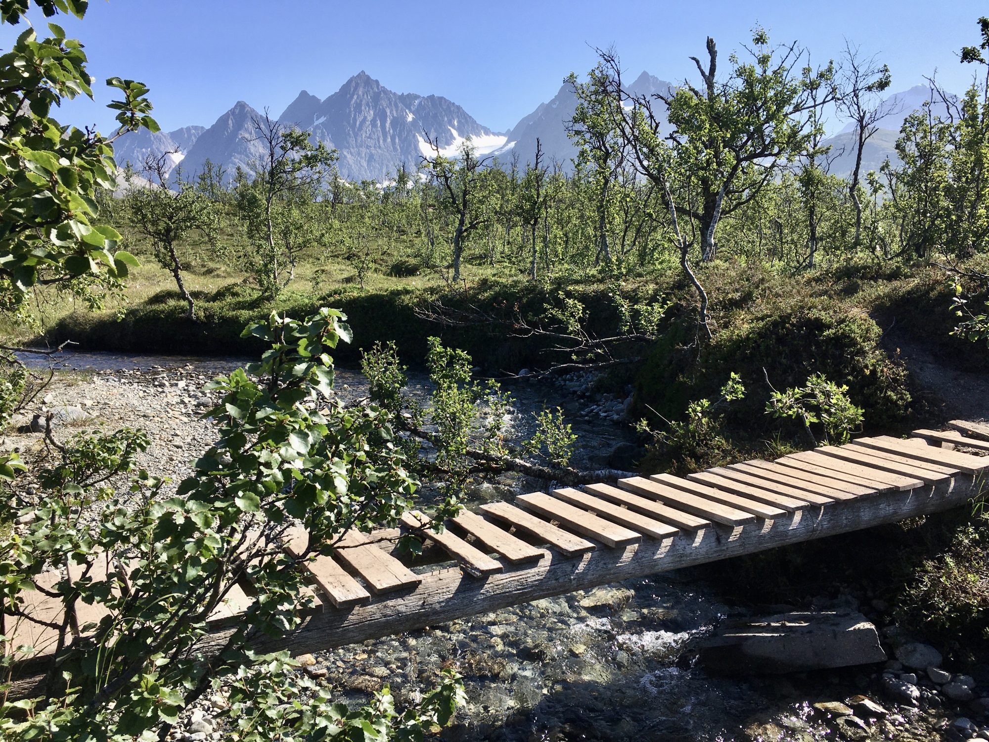
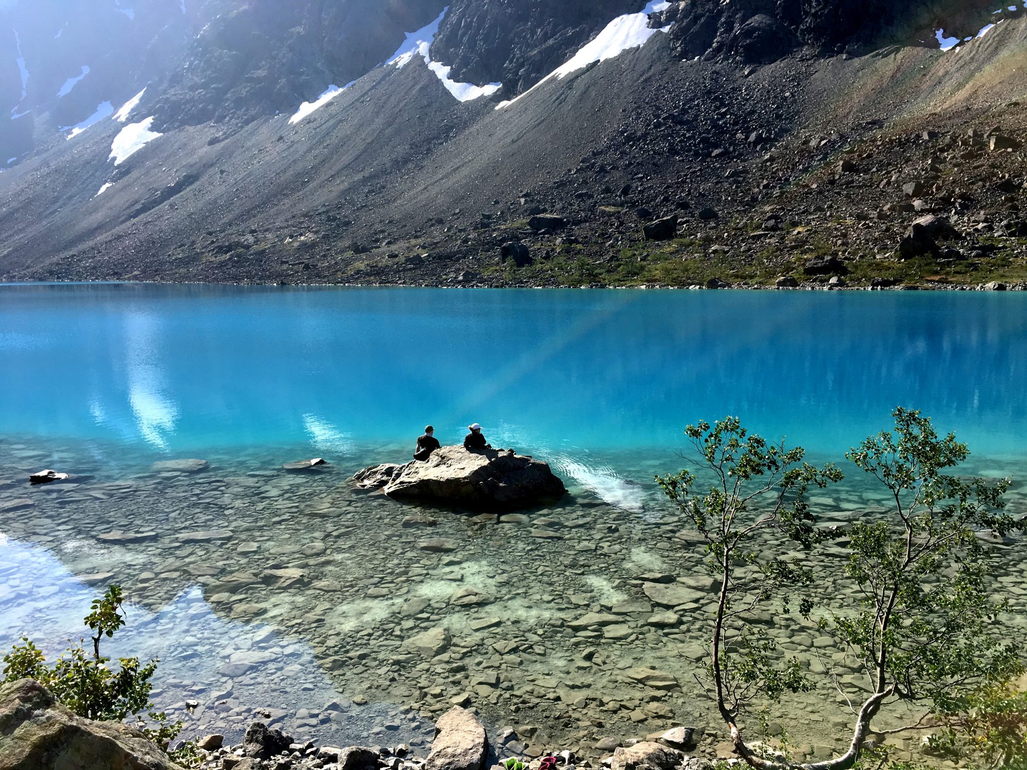
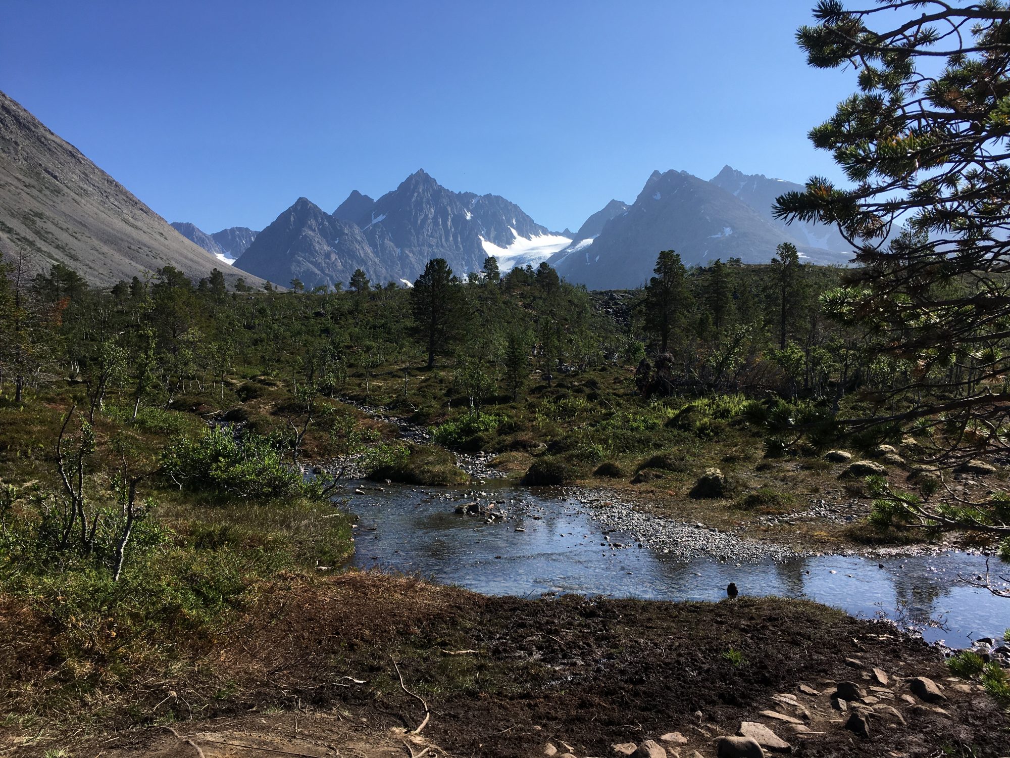
One of the hikes goes to an ice-cold alpine lake. Blåvatnet. The Blue Lake Hike is a thing you should not miss in this region:
The Blue Lake Hike


Hike to the Blue Lake: trying the ice-cold water
Blåisvatnet is like from another world. A super clear alpine lake with ice-cold water dropping directly from the melting glacier above. The lake’s intense blue color comes from small particles that exist in the melting glacier. A blue color you just have to see!
You can walk to the lake, it’s an 8 km walk (there and back) from the car park, you will use the same trail both ways.
They say the hike is easy and the terrain good. Yes, it might be that. Yet it needs walking kilometers on a stony at whiles non-existing path, crossing alpine streams and climbing on huge rocks at the end. But that all is fantastic and he Blue Lake is worth the effort. Compared to mountain hikes, the Blue Lake terrain is pretty flat and only rises some 200 m.
The Blue Lake Hike in photos:
Norway by motorhome: hiking to the Blåisvatnet, Blue Lake
The Blue Lake Campsite
The Blue Lake campsite is one of the best wilderness campsites ever. You can either stay in the parking area or drive into the taiga forest that looks like this:


The Blue Lake campsite in Lyngen, Norway
They have made it convenient for travelers: the Blue Lake campsite has fireplaces and picnic tables spread around the area and you can pay your parking fee with the easypark app.
The other place to stay nearby is Svensby Camping next to the ferry pier, a very good one as well as there are open fjord views and great evening sun.
Details of the Blue Lake hike: Visit Lyngenfjord: Hike to Blåisvatnet, Lyngen and Outdooractive: Blåvatnet – The Blue Lake, Lyngen Alps

Back in Skibotn: thank you Norway!
The Lyngen Alps was the last destination on our Lofoten, Senja and Tromsø road trip. At Skibotn we closed the circle. We had seen the arctic islands of Norway and now headed back to Kilpisjärvi and Finland.
Thank you Norway, planning to see you again next summer!
More on Travel in the Arctic Regions
Read more on Routes and Trips about the arctic region: